About VAJRA
The Inspiration
A storm does not wait for us to understand it. Thunderstorms can develop, intensify and change direction quickly, while their impacts may differ significantly from one location to another. This made us think beyond a conventional weather dashboard: What if we could understand not only where a storm is, but how it is evolving, where it may go next, and which locations could be affected?
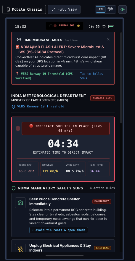
That question inspired VAJRA — a Multimodal Convective Nowcasting and Severe-Weather Intelligence Platform, developed in response to Smart India Hackathon 2026 Problem Statement 26084.
What We Are Building
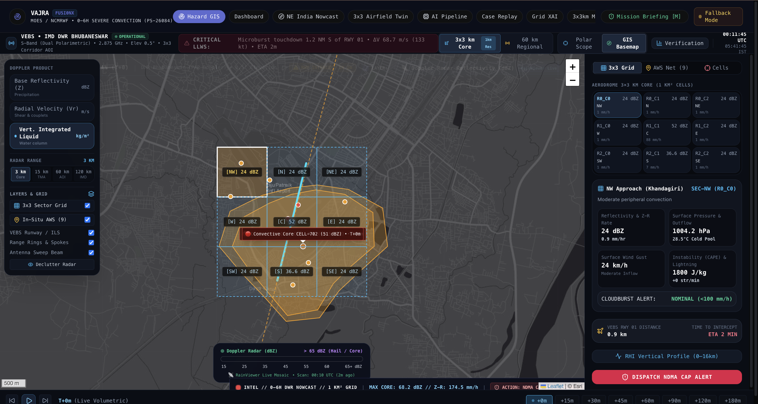
VAJRA is designed to bring complementary weather observations together, including radar, satellite imagery, lightning activity, surface observations and numerical weather information. Rather than viewing each source in isolation, our approach focuses on understanding the development and movement of convective storm cells over time.
The workflow follows a simple principle:
Detect → Track → Predict → Analyse → Inform
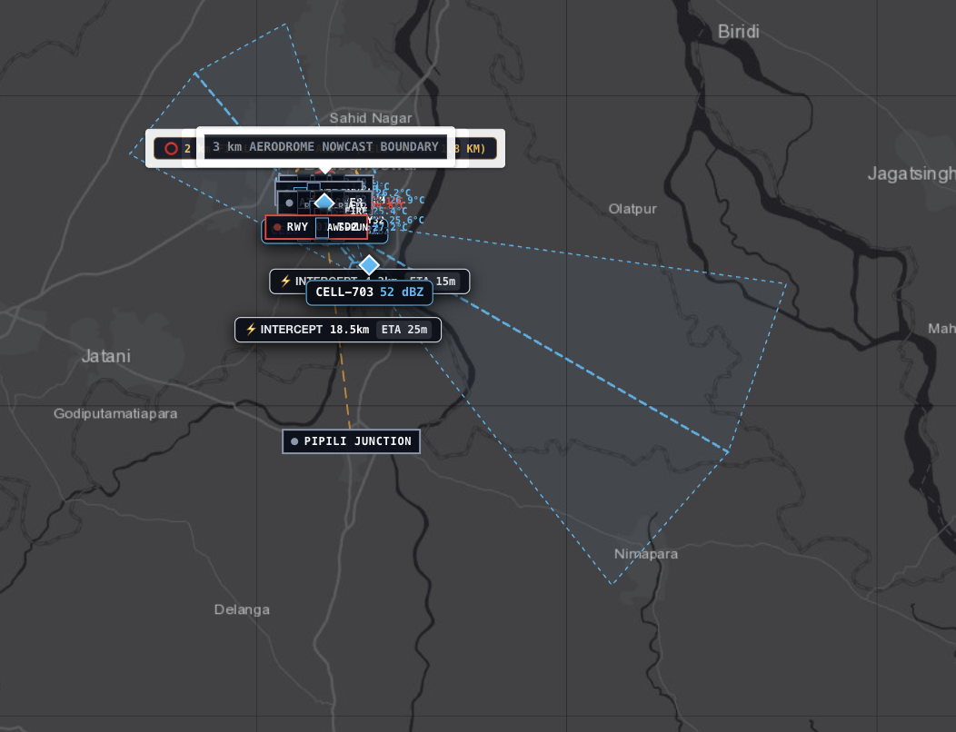
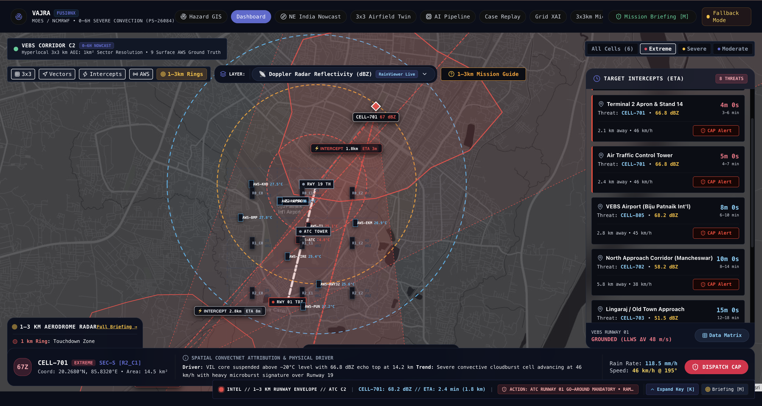
One of our central ideas is the Convective Cell Digital Twin—a software representation of an evolving storm cell that can capture its position, movement, intensity, lifecycle and forecast trajectory.
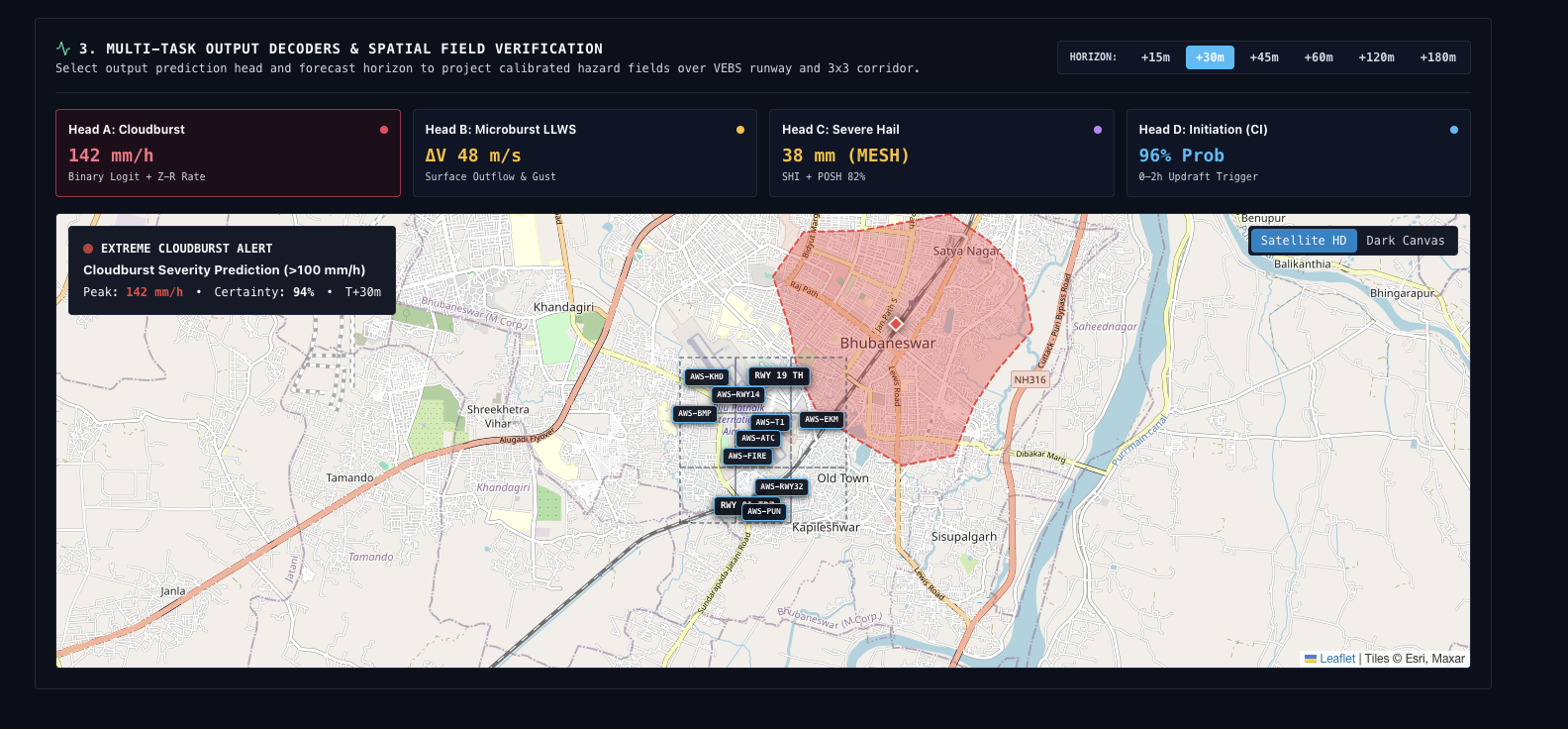
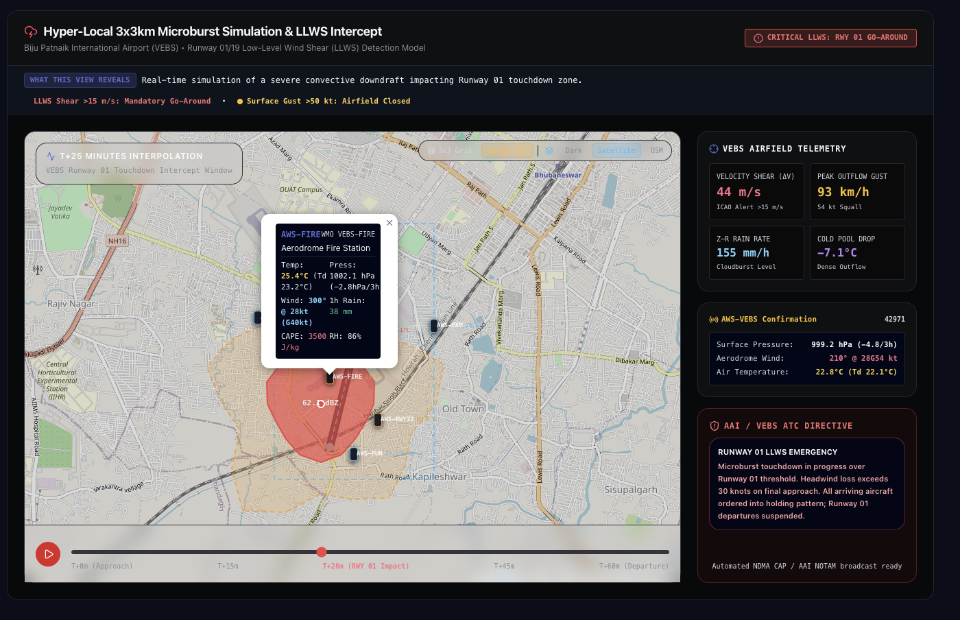
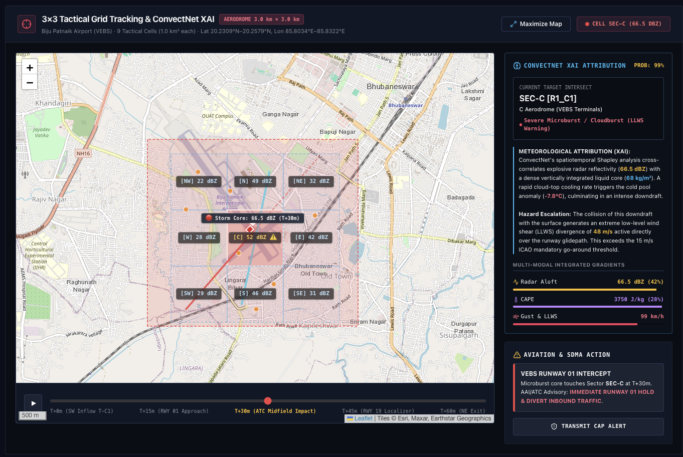
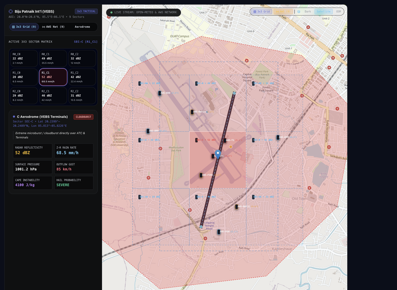
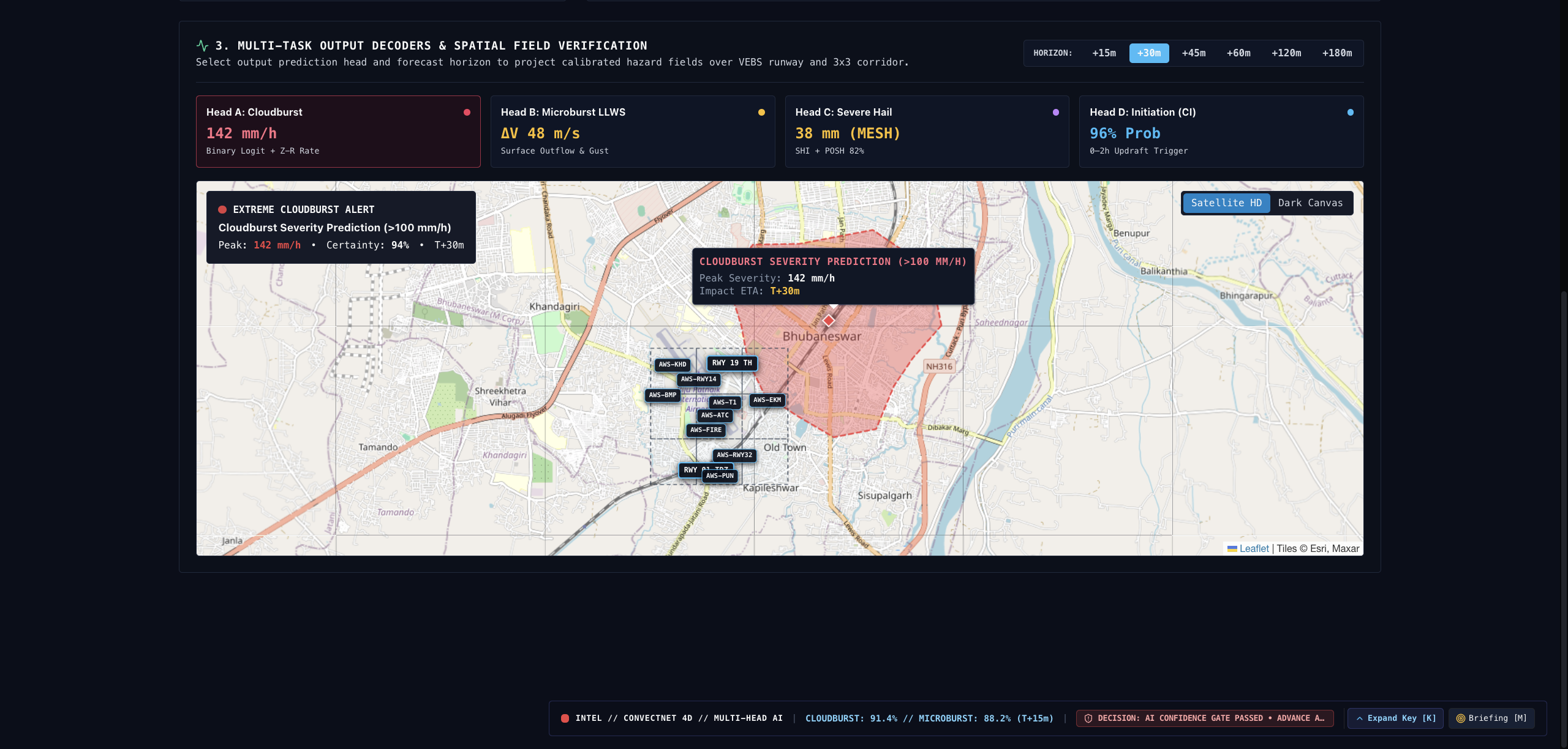
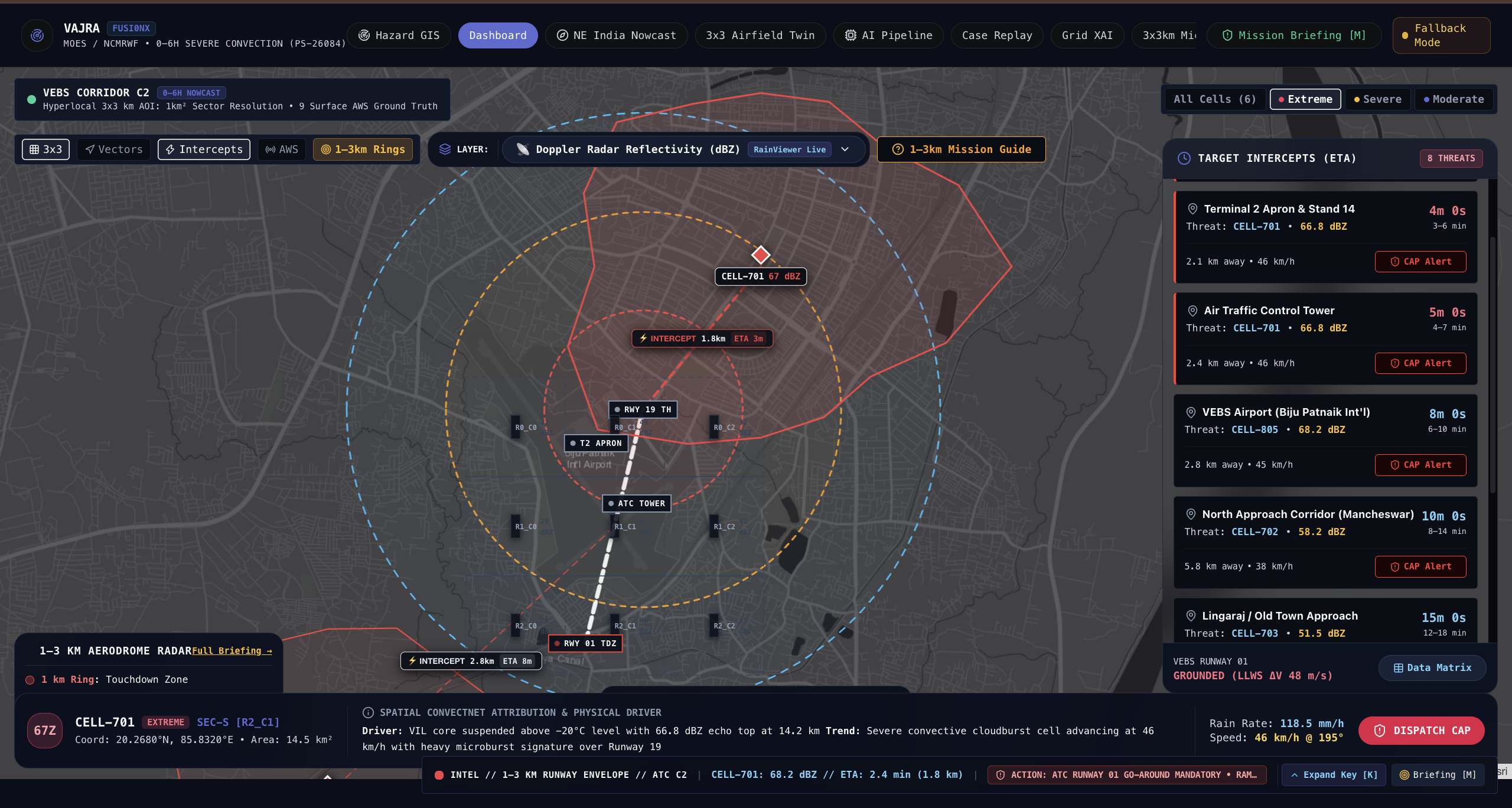
We also focus on location intelligence. Instead of looking only at a regional weather map, users should be able to select a point, area or route and examine potential storm exposure, hazard information and estimated arrival time when the available forecast data supports a reliable calculation.
How We Built It
We approached VAJRA as an end-to-end engineering problem rather than just a machine-learning model. The architecture brings together data ingestion, quality checks, time and location alignment, storm detection and tracking, forecasting, hazard analysis and map-based visualisation.
We developed a web-based prototype to bring these capabilities into one interface. We also worked on connecting meteorological data sources, deploying the application using Docker and hosting the prototype on AWS EC2 so that it could be demonstrated through a public website.
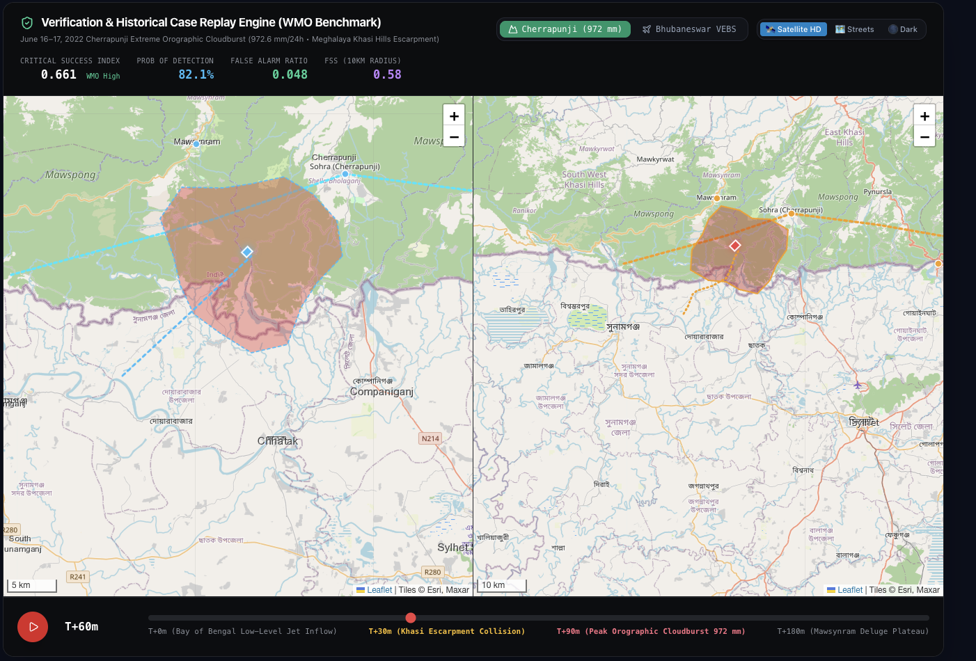
Historical replay and verification are important parts of our approach because a forecast should be compared against subsequent observations, not judged only by how convincing its visualisation looks. Where real-time data is unavailable, demonstration or replay data must be clearly distinguished from live observations.
What We Learned
Building VAJRA helped us understand that severe-weather intelligence involves much more than training a model. Different data sources have different formats, update intervals, spatial resolutions and limitations. Bringing them together requires careful alignment, quality control and awareness of uncertainty.
We also learned that a forecast becomes more useful when it answers practical questions: Where could the storm travel? Which location might intersect its path? When might it arrive? How reliable is that estimate?
Equally important, we learned that a working application must be reliable, explainable and honest about its limitations. A polished dashboard alone is not proof of forecasting accuracy; meaningful evaluation requires appropriate baselines, observed outcomes and quantitative metrics.
The Challenges We Faced
One of our main challenges was bringing multiple technical components into a coherent workflow. Data access, source integration, backend dependencies, frontend communication and cloud deployment each introduced their own difficulties.
Deploying the application also required troubleshooting Docker builds, dependency conflicts, container health checks and limited server resources. These challenges pushed us to focus not only on functionality, but also on repeatable deployment, health monitoring and recovery.
Another challenge is scientific validation. Convective weather can evolve unpredictably, and a location-specific arrival-time estimate is only meaningful when the forecast trajectory, timing and spatial intersection are sufficiently reliable. We therefore treat uncertainty and validation as essential parts of the design rather than optional additions.
What Makes VAJRA Meaningful
Our goal is to connect regional weather observations with location-specific decision support. By bringing storm evolution, forecasting, hazard analysis and location intelligence into one workflow, VAJRA aims to help users move from simply observing a developing storm to understanding where it could matter next.
VAJRA is intended to support meteorological analysis and disaster-management decisions—not replace official forecasting or warning authorities. Its value will ultimately depend on how well its predictions perform against real observations and how reliably its outputs support practical decisions.
VAJRA — From storm detection to location intelligence.
Built With
- amazon-web-services
- aws-ec2
- aws-iam
- computer-vision
- css
- docker
- docker-compose
- fastapi
- geospatial
- github
- github-actions
- html
- javascript
- machine-learning
- nginx
- numpy
- opencv
- python
- pytorch
- react
- rest-api
- typescript
- vite
- weather-forecasting

Log in or sign up for Devpost to join the conversation.