Devpost
Participate in our public hackathons
Devpost for Teams
Access your company's private hackathons
Grow your developer ecosystem and promote your platform
Drive innovation, collaboration, and retention within your organization
By use case
Blog
Insights into hackathon planning and participation
Customer stories
Inspiration from peers and other industry leaders
Planning guides
Best practices for planning online and in-person hackathons
Webinars & events
Upcoming events and on-demand recordings
Help desk
Common questions and support documentation
Sort by:
An exciting new event that could change your life might just be around the corner!
Mapping >$25000 in Total Unclaimed Deposits Paid To The City Of Toronto
The world as we don't see it.
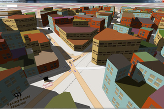
A cross-platform Driving Simulator that uses OpenStreetMap Data to create drivable roads!
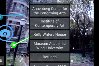
Guide to Penn campus inside OpenCamera
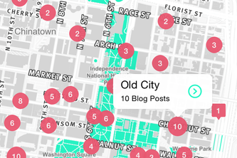
Explore Philadelphia off the beaten path: beautiful buildings and hidden finds curated from the best local blogs.
Helping local businesses
Direct & guide SWAT, search & rescue teams in a VR virtual earth
NYC Street Parking with pleasure
Listen to the world of biodiversity through GBIF data
Software to map the world's emotional state
Scheduling of multi-agent systems for information gathering in an environment
Let's Go Places
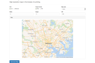
High-resolution maps in the browser, for printing.
Digital people-watching through geolocation and thought sharing.
Find Local Shops and Stores with the flick of a finger.
See your Digital data in the real world
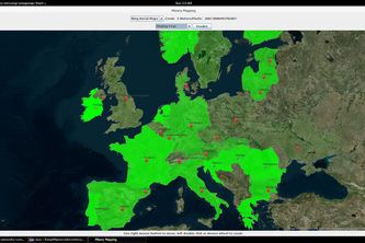
Open Archives shows the rich historic content of archives and leads researchers to context and related material
Wearable computer based on Nokia N900 pocket computer, Eyetop Centra eyewear, DIY hardware and software.
Bandwagon reduces congestion at major transportation hubs by making it easy to share rides with other travelers.
Send a Yo to YoLetsGetLunch to find a place to chow down.
Geotagged alerts
Keep track of real-time mapping data by Peace Corps volunteers.