Devpost
Participate in our public hackathons
Devpost for Teams
Access your company's private hackathons
Grow your developer ecosystem and promote your platform
Drive innovation, collaboration, and retention within your organization
By use case
Blog
Insights into hackathon planning and participation
Customer stories
Inspiration from peers and other industry leaders
Planning guides
Best practices for planning online and in-person hackathons
Webinars & events
Upcoming events and on-demand recordings
Help desk
Common questions and support documentation
Sort by:
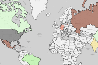
Quantify international relationships by analyzing news headlines through natural language processing
Fast and efficient building detection software for OpenStreetMap
New routing tool for provide new green sustainable paths to people.
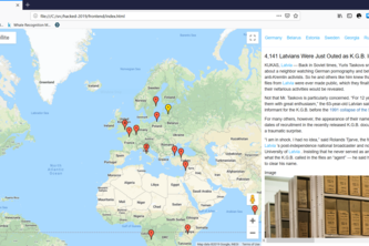
News and conversations, but on a map...
Explore news articles geographically, and visualize context from important locations extracted from the articles.
Decentralize and democratize communication, without AI or Blockhain. Half the buzzwords, twice the challenge.
Detect disease outbreaks early with social media sentiment analysis
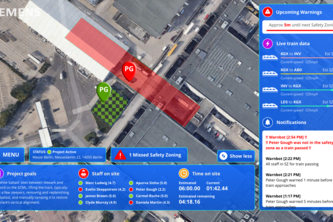
No drones were harmed in the making of this project (thanks to our awesome safety software!)
Littering is rubbish!
ENS + STATUS = UNSTOPPABLE AUGMENTED REALITY!
Optimal Candy Collection!
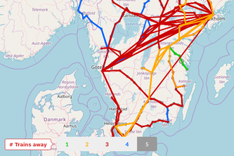
Figure out how far you can go by train with limited transfers
A location based AR app providing first responders with actionable geospatial information.
An interactive city data viewer which optimises placement of new equipment for citizens
A Free Food, Music, and Swag Finding App for College Campuses
Every Women's Travel Buddy
This project is intended to end the "going out wars" by deciding for you and your friends where is the place to go to
Remove human error from the safety assurance process in railway engineering
Realtime accidents reporting and analytics system using DataScience & ML for proposing recommandations in many fields
Finding places near you. Powered with Open Street Map. Made for Alexa.
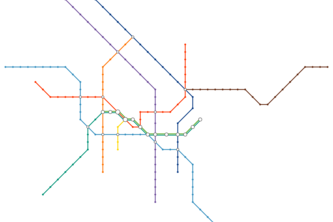
Generate a schematic map (“metro map”) for a given (transit) network graph using Mixed Integer Programming.
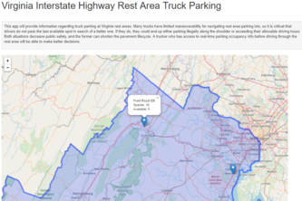
Virginia Public Rest Area Truck Parking Information
A custom map was plotted, stylized and printed employing space technology.
Encourage citizen activism by providing informative neighborhood waste statistics