Devpost
Participate in our public hackathons
Devpost for Teams
Access your company's private hackathons
Grow your developer ecosystem and promote your platform
Drive innovation, collaboration, and retention within your organization
By use case
Blog
Insights into hackathon planning and participation
Customer stories
Inspiration from peers and other industry leaders
Planning guides
Best practices for planning online and in-person hackathons
Webinars & events
Upcoming events and on-demand recordings
Help desk
Common questions and support documentation
Sort by:
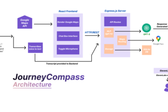
Meet Journey Compass, your new intelligent conversational copilot for every journey.
Discovery Street is an AI-powered platform that helps users search, compare, finance, and locate Toyota vehicles in one place using natural language search and an intuitive, modern interface.
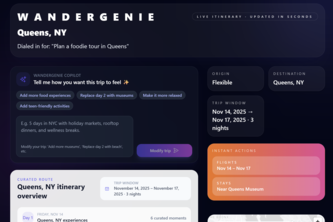
AI travel assistant that turns natural-language prompts into full itineraries, pins map locations, finds booking links, and adds events to your calendar, all updated instantly based on your edits.
Bridgit is an AI co-pilot that prevents truck-bridge strikes that kill 90+ people and cause $700M in damage yearly. It utilizes multi-agent AI system, Computer Vision, and real-time physics modelling.
AI Equity Mapper uses AI and global data (OpenAQ, ERA5, Ookla, World Bank, NASA, UN) to map climate inequality, predict risks, and guide life-saving action for vulnerable communities worldwide.
Connecting women nearby who need or can offer sanitary products, creating an instant, safe, and supportive network that ensures no one faces a period emergency alone
A sentiment-aware telecom concierge that detects frustration, adapts its tone, and co-pilots live support with autonomous navigation, proactive outreach, and multimodal intelligence.
HeatQuest turns urban heat data into gamified climate missions. Using AI and satellite imagery, it identifies hotspots and empowers citizens to take real-world actions to cool their communities.
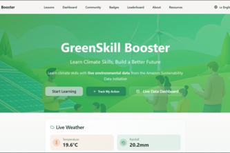
Empowering climate-vulnerable communities with bite-sized lessons and real-time environmental data.
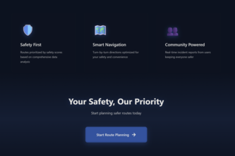
SafeStreets AI helps make everyday travel safer. By adding a “safer route” option to navigation apps, it gives people the choice to avoid high-risk areas and reduce accidents
Paying Fishers For Transparency And Publicizing Sustainability
See the true impact of every data center before you build.
Walking alone at night on campus can be scary. Our app matches students going the same direction so they can walk together. Request a buddy, get matched, meet at a safe midpoint, and go worry-free.
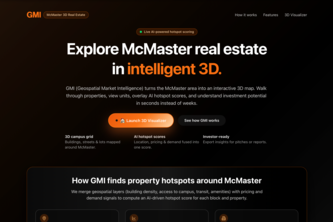
GMI transforms McMaster’s area into an interactive 3D map where you can explore properties, view units, and see AI hotspot scores to assess investment potential instantly.
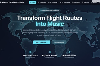
Where Data Meets Art - AI-Powered Music from Global Aviation
Transform rooftops, walls, and sidewalks into green havens. UrbanBloom uses AI + community action to reduce pollution, cool cities, and bring nature back into everyday life.
Plateful finds the right place fast. Tell it what you are craving in plain English, and it ranks nearby restaurants by taste fit, rating, distance, and dietary restrictions.
Turn your Wi-Fi into a map, helping you find where the signal flows strongest.
Helping small business in San Francisco optimize staffing, and sharing the best locations for maximized profits, by forecasting foot traffic levels. Utilizes Google Places API!
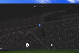
Safety-first navigation app based on real live crime data and user incident reporting.
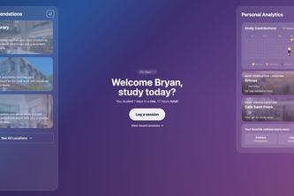
Find your perfect study spot.Made for Berkeley students who want to study smarter, not harder.
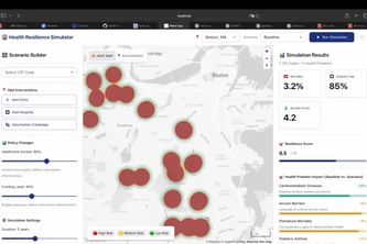
Map the gap, mind the gap, close the gap—CareMap Boston turns health data into fair resource placement.
Turn your goals into a road trip.
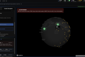
AI-driven command layer that monitors real-time flight and cargo data, detects operational risks, and calls ground operators with autonomous voice alerts and recommended actions.