Devpost
Participate in our public hackathons
Devpost for Teams
Access your company's private hackathons
Grow your developer ecosystem and promote your platform
Drive innovation, collaboration, and retention within your organization
By use case
Blog
Insights into hackathon planning and participation
Customer stories
Inspiration from peers and other industry leaders
Planning guides
Best practices for planning online and in-person hackathons
Webinars & events
Upcoming events and on-demand recordings
Help desk
Common questions and support documentation
Sort by:
An educational and fun simulation of heat island effect over Durham
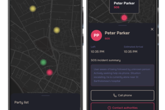
Safely is an app to make sure everyone gets home safely. The truth is, walking home alone can be unsafe and Safely can be your companion. It enables mutual visibility and AI-powered threat detection.
See your business’s footprint before you leave it. EcoSpirit finds the best neighborhood for your venture, balancing profit, people, and planet for truly sustainable growth.
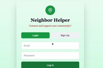
Neighbor Helper makes it simple to ask for and give help nearby.
Real-time traffic predictions with ML-powered congestion analysis. Choose your route, see predicted traffic levels, and get accurate travel times.
A volunteering platform that aggregates community needs from news sources using AI and connects helpers with relief opportunities through interactive maps.
Find any room instantly. No more directory searches and awkward asking for directions. RoomiGator empowers businesses to create custom maps and users to navigate buildings quickly and easily.
Highlight disaster zones, analyze population & critical infrastructure, and empower under-resourced teams to act fast and save lives in the *crucial* first 24 hours.
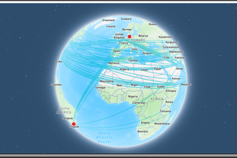
Look and listen to what others are listening to across the world
An autonomous AI agent, powered by Amazon Bedrock, that proactively monitors global news, assesses supply chain impact, and visualizes risks on a live map in real-time.
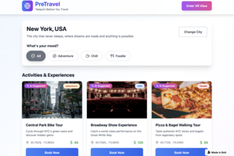
From your couch to the world, immersive previews before real trips.
Tired of boring flight maps? FlyingOver uses your iPhone’s GPS to track flights offline and reveal exactly what you’re flying over, with detailed, interactive info, and things about your flight.
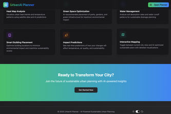
Visualizing Tomorrows Sustainable Cities Today.
Every year, millions of accidents happen in predictable locations and conditions. Roadcast changes that by giving drivers the crash data and weather insights they need to choose safer routes home.
AccessVT helps students and visitors find the fastest wheelchair-accessible routes on campus, ensuring safe, efficient, and inclusive navigation without barriers
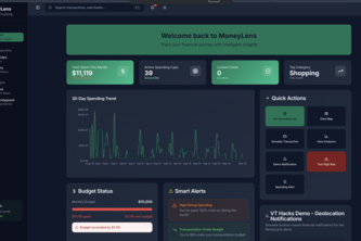
MoneyLens: your AI + AR financial bodyguard—stops overspending in real time, auto-visualizes habits, and keeps you on track with leaderboards.
To address the needs of the MIMAT, we built an application empowering people to easily submit media of waste documentation and GPS data, rendered on a detailed map, providing actionable info to MIMAT.
TBD
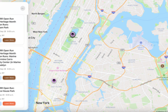
What’sUpNYC puts every event in the city on one interactive map—concerts, food fests, pop-ups & more. Locals, newcomers, and visitors can explore NYC like insiders and use navigation to find events.
Mapster merges Adelaide's scattered events onto one map. With 100+ events at launch, we're ending "nothing to do." Discover your city at mapster.city.
from detection a natural disaster from open source data to planing a emergency response agent that can send alerts and notifications to the emergency responders
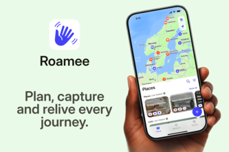
All-in-one Travel App. Plan, capture and relive every journey.
Agentic GenAI Copilot for RFQ-to-Logistics on AWS Bedrock — from RFQs to awards and routing with explainable intelligence.
Built for builders, by builders.