Devpost
Participate in our public hackathons
Devpost for Teams
Access your company's private hackathons
Grow your developer ecosystem and promote your platform
Drive innovation, collaboration, and retention within your organization
By use case
Blog
Insights into hackathon planning and participation
Customer stories
Inspiration from peers and other industry leaders
Planning guides
Best practices for planning online and in-person hackathons
Webinars & events
Upcoming events and on-demand recordings
Help desk
Common questions and support documentation
Sort by:
"throw-a-pin emulates the oldest form of spontaneous adventure: throwing a pin at a spinning globe. Find new locations, uncover hidden gems, and share the path less traveled with the world."
EvacMap: Digitalizing Accessible Evacuation Routes for Anyone, Anytime.
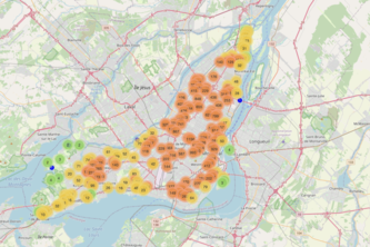
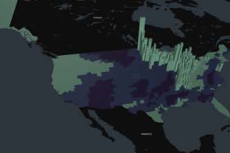
We want to create a tool for city planners to identify areas with high frequency of accidents and provide them with other layers of data to provide more meaningful insights into possible causes.
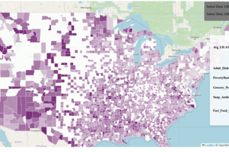
Analyzing and finding solutions about food deserts using anayltical processes and visual models/maps.
World Whizikstan is a competitive geography game where players race to guess countries and capitals first. Block opponents by answering correctly, and learn geography in a fun, fast-paced way!
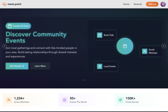
Meet in person, point in virtual
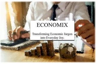
Transforming economic jargon into everyday joy.
Empowering communities with AI-driven insights to solve real-world challenges through dynamic mapping, collaboration, and data-driven solutions
Utilizing data to allocate resources for land reclamation is difficult. We built a geospatial platform to do cost-benefit analysis for land reclamation using the predictive power of financial markets.
The one stop shop interactive map that helps the RPI community easily locate and navigate to campus facilities with real-time directions and facility information. Powered by cutting-edge AI.
Deforestation upstream and poor waste management worsen flooding in Cité Soleil. Restoring forests and managing waste can protect lives and create a sustainable future for Haiti.
Visualizing and assessing the coral bleaching crisis across the globe
"Smart WiFi tracking optimizes BYUI's HVAC and automates class attendance. Cut energy costs, save time, and boost efficiency. Campus management, revolutionized. Interactive map for easy use.
Predict Elections Way Better With LLM Agents
Optimizing Emergency Response: Beasts - Your Police Station Finder
Using Exploratory Data Analysis to identify the relationship between extreme weather events and Foreclosure of Property Mortgage.
An interactive city guessing game!
Visualize and quantify this complex city we call a home. The ultimate resource for those passionate for transit, urban development, and statistics to learn more about Chicago.
Transforming water conservation with robotic clean-up and real-time water quality monitoring, engaging communities in the mission for cleaner waters worldwide.
A place to see and connect with people struggling with mental health.
Notre projet consiste à aider les citoyens à trouver un logement convenable en utilisant les informations disponibles.
Save Our Energy! is a web application designed to help homeowners through the process of switching their homes to renewable forms of energy.
Building communities by inciting appreciation for sustainability.
A platform for users to share information related to the various neighborhoods in NYC. A great way for users to explore new and diverse neighborhoods and discuss injustices within their community.