Devpost
Participate in our public hackathons
Devpost for Teams
Access your company's private hackathons
Grow your developer ecosystem and promote your platform
Drive innovation, collaboration, and retention within your organization
By use case
Blog
Insights into hackathon planning and participation
Customer stories
Inspiration from peers and other industry leaders
Planning guides
Best practices for planning online and in-person hackathons
Webinars & events
Upcoming events and on-demand recordings
Help desk
Common questions and support documentation
Sort by:
TideScope combines mapped conflicts and ocean conditions to support offshore wind planning that balances clean energy, marine habitats and existing ocean uses.
ChiRent — Helping Chicago understand rising rents, identify housing challenges, and find smarter ways to make housing more affordable for everyone.
PHAROS is an agentic wildfire response platform that fuses real-time data with AI agents to help operators rapidly draft, review, and relay targeted, multilingual evacuation alerts and strategies.
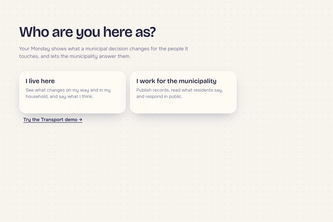
Your Monday shows how city decisions could change your lives
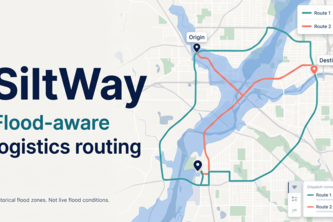
Flood-aware routing for Nigerian logistics: it scores every road by flood history and recent rain, then shows a safer route next to the standard one
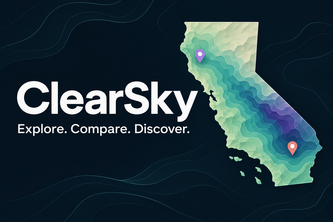
ClearSky is a Gemini-powered geospatial intelligence platform combining environmental analytics, population health data, and infrastructure mapping to help families compare California neighborhoods.
Turning scattered disaster reports into a shared picture of where help is needed.
An explainable NYC 311 map that prioritizes repairable reports, assigns simulated crews, and builds road-based routes, while showing neighborhood coverage and keeping decisions reviewable.
Live US map showing where weather, migrating birds, and tick reports line up, so you can see where tick conditions are heating up day by day, with every number traced to its source.
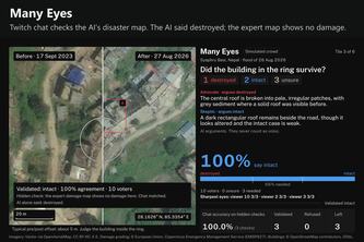
Twitch chat checks the AI's disaster map: real satellite photos, AI debaters that never vote, hidden expert checks, and a crowd allowed to say "not sure".
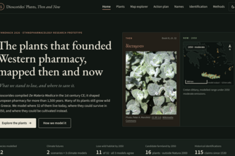
The plants that founded Western pharmacy, mapped then and now: what we stand to lose, and where to save it
Your taste, your India — a Qloo-powered concierge that turns what you love into a trip, with every place verified by real creators.
Build smarter without disrupting nature. RippleEffect AI simulates how urban development changes the environment and helps communities compare solutions to make the decisions better.
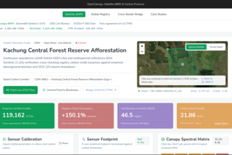
OpenCanopy turns NASA GEDI LiDAR and Sentinel-2 satellite telemetry into cryptographically attested, real-time audited carbon credits with zero double-counting.
Combines satellite NDVI analysis, H3 hexagonal geospatial indexing, fuzzy entity resolution, and Ethereum smart contract enforcement to prevent double counting in carbon markets.
Heat doesn't affect every neighborhood in LA County equally. Check your Hot Limit today for available resources!
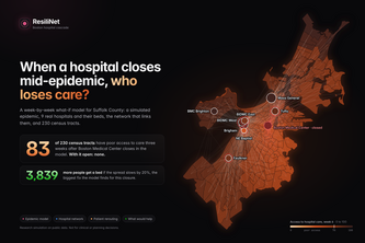
Discover and mitigate weak points in scalable communities' healthcare systems
An interactive game-ified web-page to explore the long term migratory patterns of the 7 species of sea turtles to spread awareness about ocean conservation efforts or the lack thereof.
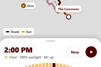
Shade-aware walking routes for Texas A&M, built from LiDAR shadows and live cloud forecasts, with a Night mode that routes by streetlight coverage. Expo + FastAPI app built at Howdy Hacks 2026.
TurtleGuard blends historical sea turtle data, maps, and AI forecasting to help conservationists prioritize the best locations for beach patrols, lighting outreach, habitat protection, and more.
Turning before-and-after satellite imagery into traceable post-fire assessments, helping land managers identify changed areas and prioritize human review.
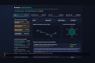
Qloo cross-domain taste graph & geodesic itinerary solver.
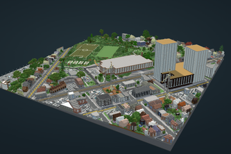
What if you could explore earth in Minecraft? ArcBuilder turns real places into playable Minecraft worlds, then lets you transform them with AI and bring your imagination to life.
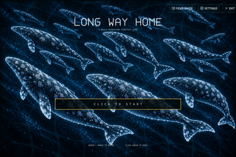
A migration strategy game about the real threats whales meet in a human-altered ocean.