Devpost
Participate in our public hackathons
Devpost for Teams
Access your company's private hackathons
Grow your developer ecosystem and promote your platform
Drive innovation, collaboration, and retention within your organization
By use case
Blog
Insights into hackathon planning and participation
Customer stories
Inspiration from peers and other industry leaders
Planning guides
Best practices for planning online and in-person hackathons
Webinars & events
Upcoming events and on-demand recordings
Help desk
Common questions and support documentation
Sort by:
An object detection algorithm using AWS sagemaker and AWS IOT greengrass. This will allow robots and similar edge device to detect objects in its path and avoid them accordingly.
An AI Study to Quantifier and Analyze the Contribution of the War in Ukraine on Global Carbon Monoxide Emissions.
Here, we developed robust models that can help to predict the air quality in certain areas of the United States under six different scenarios.
SchoolAssist is a project that combines six AWS services and machine learning on ASDI data to create a full stack app that allows users to easily find the best schools in affordably priced areas.
A tool to combine datasets to generate green space suggestion heat map in cities.
A tool to help the African farming community to optimize crop production
To combat for Climate change
Monitoring tools for road incident management. Crowdsourcing information sharing for safer roads with Metamask, Chainlink, Metis, zksync, Scroll, Avalanche, Eth, Polygon ZkEVM
BreathWisely is a project which can just by opening the app can tell you the severity of the air quality with pin-point accuracy at your exact location. Not just that you can also alert your family.
Using open data to identify and plan where to plant native trees in underused public spaces delivering climate benefits, promoting social & economic outcomes and fostering community engagement.
Reducing the risk of wildfires and emissions is highly relevant. This project assists indigenous stewards to do this while creating renewable energy, offsets, fertilizers, biodiversity and jobs.
Social media analytics to understand customer feedback
AI-Powered Precision Agriculture Proof-of-Plate with Satellite Data
In agriculture, the lack of water or the lack of nutrients are a problem related to or different from each other. Differentiating quickly and automatically between both situations is the goal.
What would happen if you have a map of all public policies around the world? What if such map can relate sustainability between countries? Ok, let´s build it.
Map & analyze urban green areas development and visualize them so that the resulting information is easy to understand. Outcomes of this project shall be transferable to other cities.
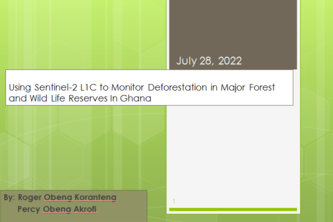
Deforestation has been a major recurrent issue in Ghana, in this project I want to use Sentinel-2 to map out the major forest and wild life reserves in Ghana over a period of time.
Disrupting the $8B market for political information using artificial intelligence
Infekted is an AI-art NFT Generator; a simple UI provides the user a text input which goes to a text-to-image generator. The generated image will create an IC NFT which shows up in the user's wallet.
We want to accelerate the recruitment process by partially automating it.
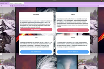
Our application firstly predicts future natural disasters and also shows them in the map. Basically it shows a world wide view of future natural disasters.
Continued work on the Icy Bridge Identification project. The goal is to take NCDOT cameras and detect when a bridge has dangerous ice.
Frontline responders for any potential threat by any natural disaster.
RescueLine uses machine learning to classify emergency calls according to the nature of assistance required to dispatch the appropriate response team (fire,medic,search/rescue) and save lives.