Devpost
Participate in our public hackathons
Devpost for Teams
Access your company's private hackathons
Grow your developer ecosystem and promote your platform
Drive innovation, collaboration, and retention within your organization
By use case
Blog
Insights into hackathon planning and participation
Customer stories
Inspiration from peers and other industry leaders
Planning guides
Best practices for planning online and in-person hackathons
Webinars & events
Upcoming events and on-demand recordings
Help desk
Common questions and support documentation
Sort by:
AI-powered agronomy for smallholder Kenyan farmers.
iHealth uses AI to make healthcare guidance accessible to everyone. Just speak or snap a photo, and get clear, trusted health insights wherever you are, in the language you understand.
UrbanSignal uses real time citizen data to boost city safety, monitor infrastructure, and manage resources and planning for resilient communities.
WasteWise is a web app that helps people quickly find the nearest trash, recycling, and compost bins using real location data from OpenStreetMap and Mapbox
When someone's life is on the line, every second counts.
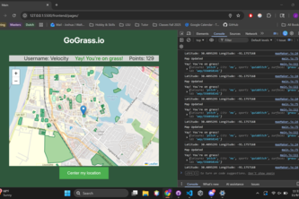
Webapp that tracks your location, and rewards you points for the amount of time you spend on grass. Leaderboard for people with most time spent on grass
Crowd sourced relief for victims of natural disasters with live alerts from both user reports as well as satellite climate imaging. Instant location grabbing enables fast reporting in emergencies.
Navigate safely in crisis situations
Our app provides voice-guided, full-route navigation for visually impaired students, answering “Am I going the right way?” and helping them explore campuses confidently and independently.
UBLoop keeps UB students safe and connected. Report incidents, validate threats, find lost items - all on an interactive campus map. Stay in the Loop.
Bridgit is an AI co-pilot that prevents truck-bridge strikes that kill 90+ people and cause $700M in damage yearly. It utilizes multi-agent AI system, Computer Vision, and real-time physics modelling.
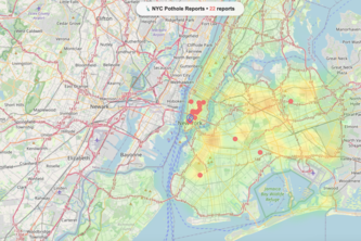
Plotholes uses AI and crowd-sourced data to detect, classify, and analyze road damage in real time—turning vision data into a live map that helps cities fix infrastructure before it fails.
Simulate your city. Predict the impact. Design a sustainable future.
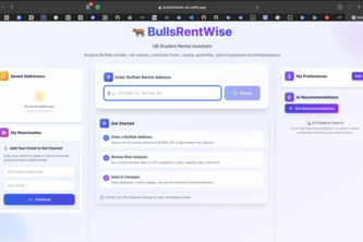
BullsRentWise - Know the block before you sign.
Brew View is a potion monitoring system that tracks cauldron fill levels and detects any suspicious courier activities to prevent theft and optimize production/routes for delivery.
SolarAtlas AI is an open-data, open-source, free web tool combining global climate datasets to show where solar panels yield the most energy and how often they need cleaning.
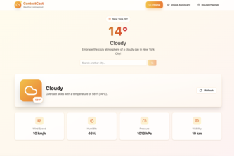
ContextCast is an elevated, easy-to-use weather app that takes your typical weather check to the next level with a bunch of awesome features like route based weather tracking!
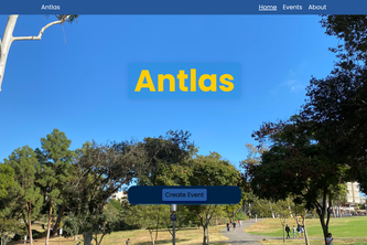
Antlas is a full-stack web-based application allowing users to create events. Users can add the details of their event and view other people's events on a map.
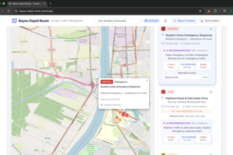
"Bayou Rapid Route uses AI to detect traffic incidents, clear emergency paths instantly, and optimize campus routes - saving both lives and commute time."
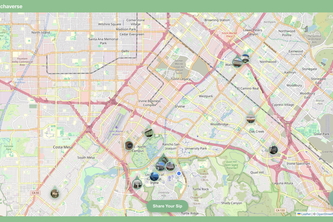
Craving matcha? Matchaverse helps you find the best matcha drinks nearby on campus, no more wandering. Find your perfect matcha with Matchaverse!
UrbanOracle predicts civic infrastructure failures with AI. Built in 20hrs using Kiro—what took 40+ hrs took 20. AI classifies issues, predicts risks, optimizes routes. Proactive, not reactive.
By far absolutely unanimously, the worst issue with OSU is parking. Everyone has struggled finding a single open spot. This app is supposed to list anywhere a parking spot is open.