Inspiration
Our inspiration stems from many years of experiencing floods during hurricanes in South Florida, we recognize that people cannot access every road during an emergency. So we felt we needed to find a way to aid people when evacuating in extreme scenerios.
What it does
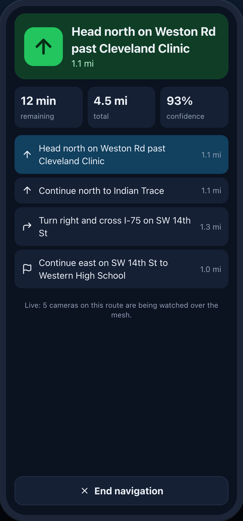
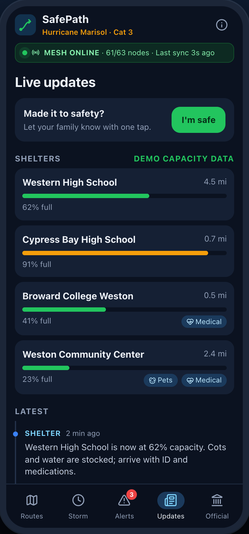
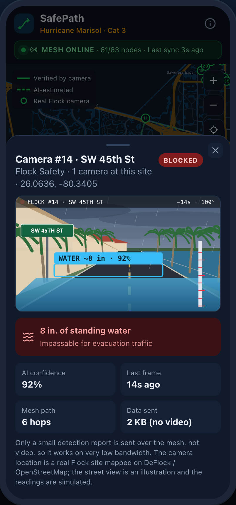
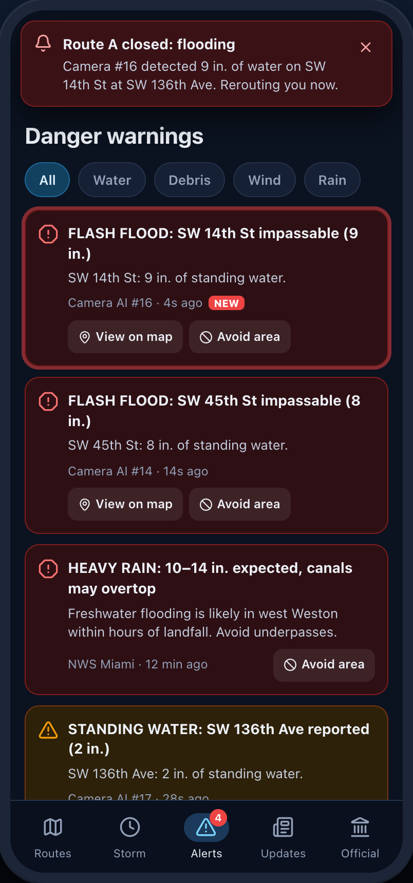
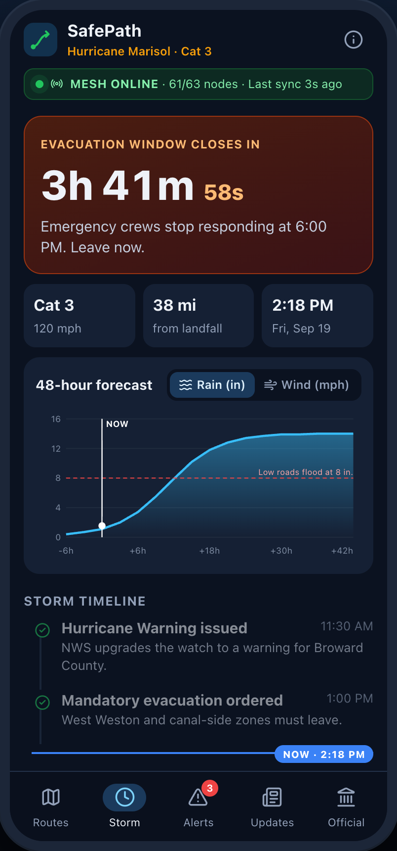
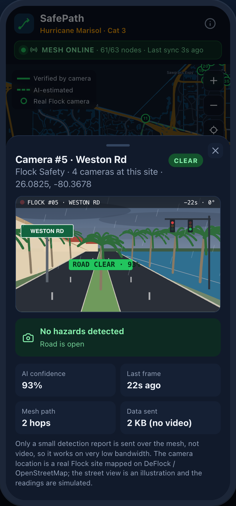
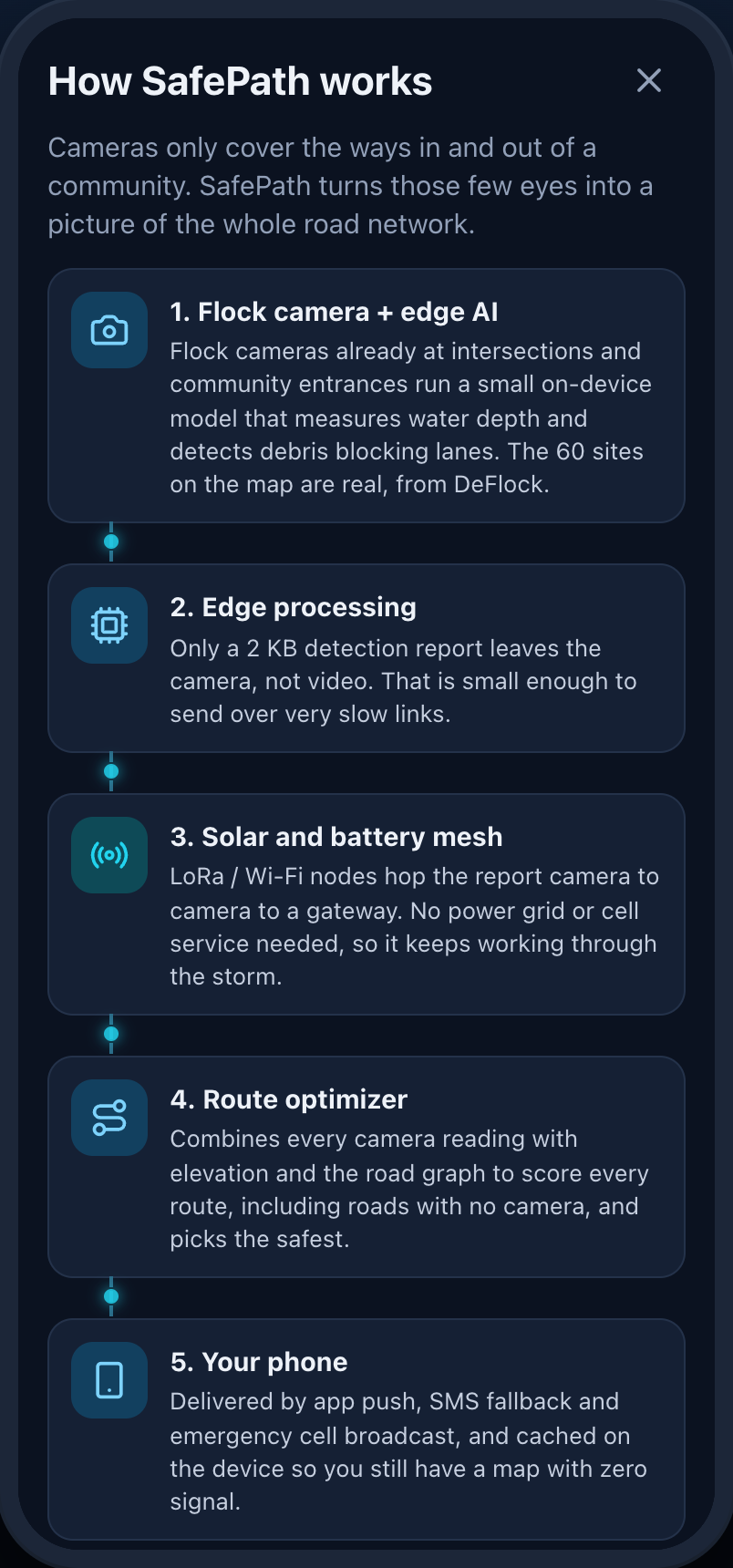
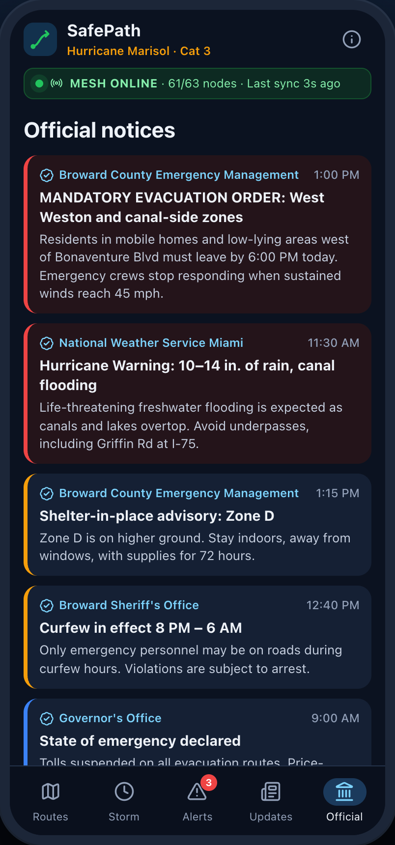
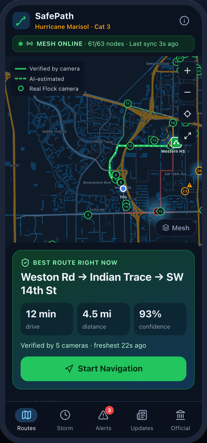
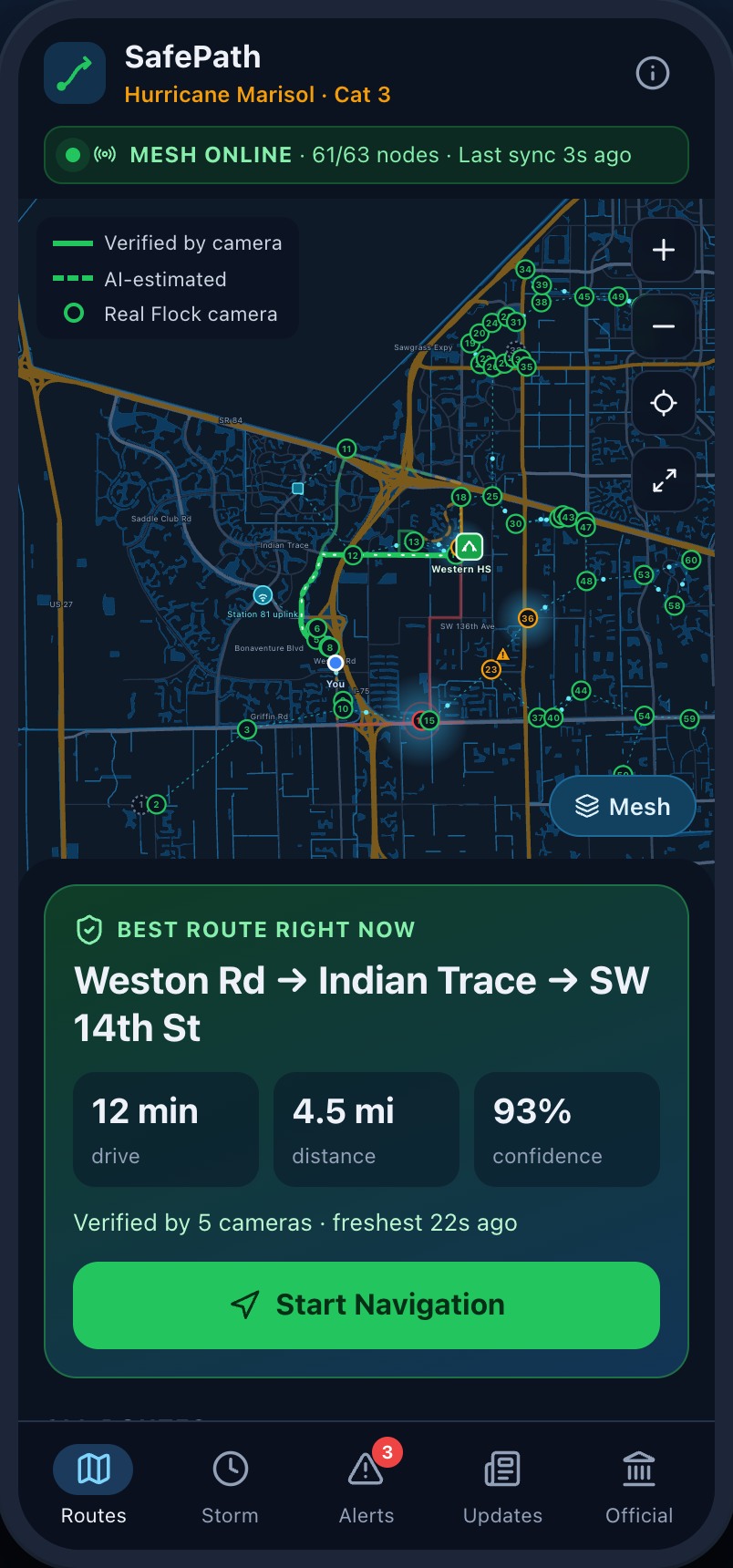
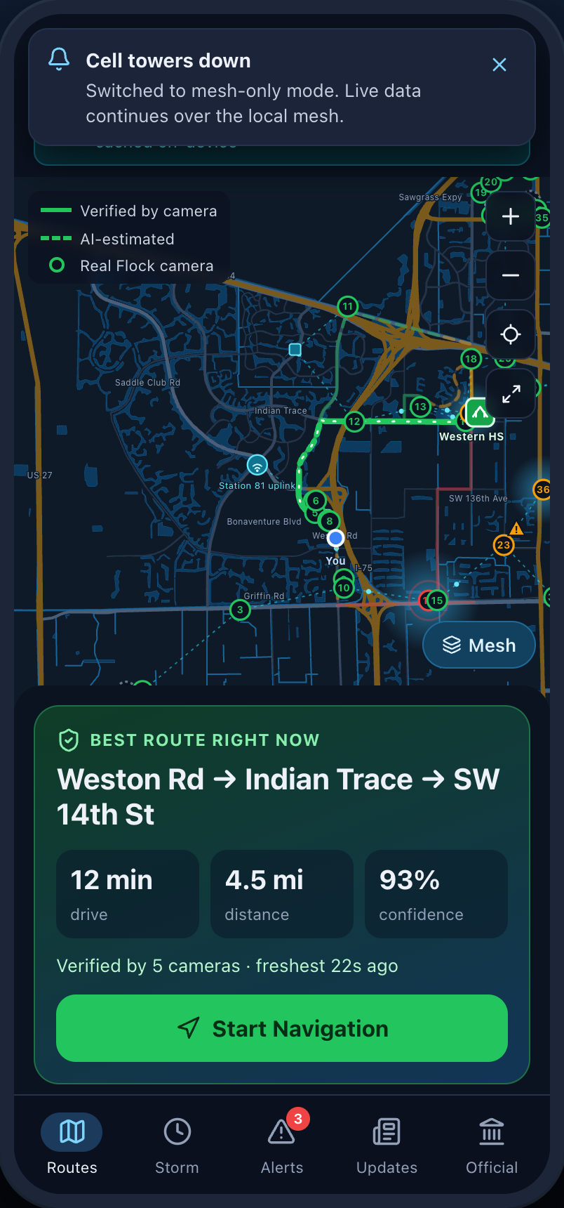
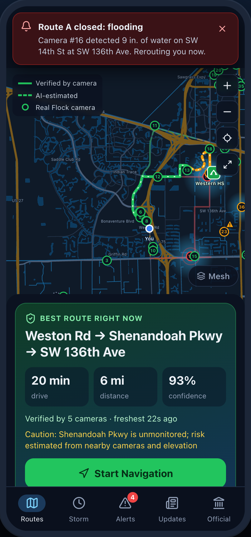
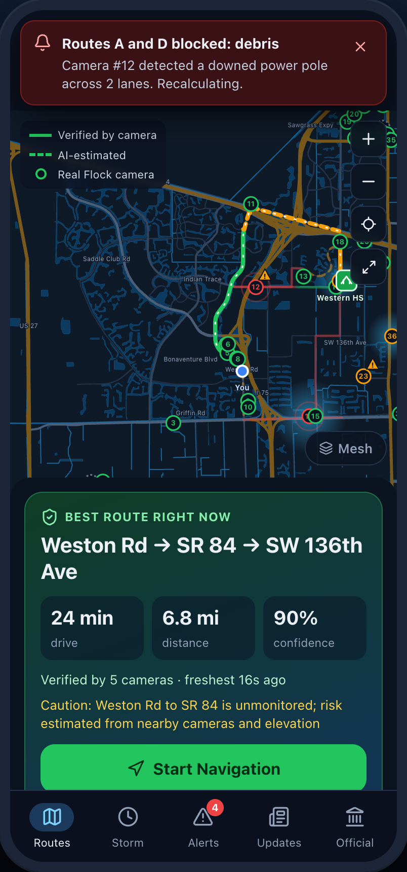
Our system takes Flock cameras that are already installed and implement software that tracks flooding and debris preventing road usage and transmits the status to our app where users can find safe routes to shelters or safe spaces.
How we built it
We built the demo app with Claude to work the backend and tweak our UI designs to give the best experience for the user.
Challenges we ran into
We couldn't get app to open on other devices besides the host computer.
Accomplishments that we're proud of
We were able to make examples of how the app would show the debris and flooding through the lense of the camera so users can determine their safest path.
What we learned
We learned evacuation in a time of emergency can be extremely stressful to get your family to safety with no knowledge of road conditions.
What's next for SafePath
Implementation into other ALPR cameras in stop light intersections to keep better track of streets and water level sensor for more accurate rain conditions.
Built With
- deflock
- openstreetmap
- react
- typescript
- vite

Log in or sign up for Devpost to join the conversation.