Devpost
Participate in our public hackathons
Devpost for Teams
Access your company's private hackathons
Grow your developer ecosystem and promote your platform
Drive innovation, collaboration, and retention within your organization
By use case
Blog
Insights into hackathon planning and participation
Customer stories
Inspiration from peers and other industry leaders
Planning guides
Best practices for planning online and in-person hackathons
Webinars & events
Upcoming events and on-demand recordings
Help desk
Common questions and support documentation
Sort by:
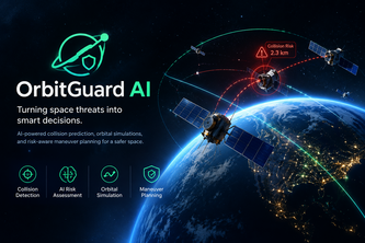
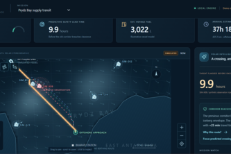
An AI-powered space safety system that predicts satellite collision risks, simulates orbital trajectories, and helps identify safer maneuvers to protect satellites from space debris.
AI that maps flood damage on farmland from space and predicts post-flood crop disease outbreaks, so farmers and responders can act before losses multiply
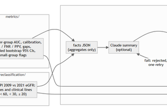
A model can be 90% accurate overall, yet fail some patient groups. EquityPanel will report per-group performance and calibration, making fairness auditing a routine step in healthcare AI.
An AI-powered computer vision system to detect crop diseases in real-time and provide actionable treatment recommendations for farmers.
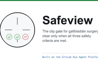
Before the surgeon clips, Safeview checks the Critical View of Safety and says clear or hold. A GitLab Duo auditor guards the rule so no merge can quietly weaken it.
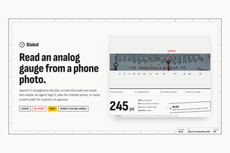
Read analog gauges from a phone photo. OpenCV 5 reads the dial or asks for a better photo; an agent logs it, names the next view, or holds a work order for a person.
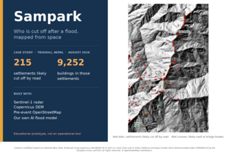
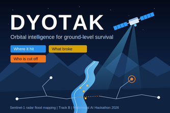
Give it an area and a flood date. Using free Sentinel radar, our own AI flood model and pre-event OpenStreetMap, Sampark maps where the flood hit, what was damaged and who is likely cut off.
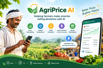
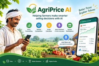
Helping farmers make smarter selling decisions with AI
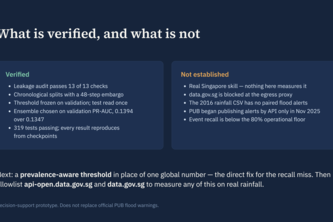
AI-powered flash-flood intelligence that turns Singapore’s real-time rainfall and flood data into localized risk predictions, early-warning insights, and actionable climate-resilience decisions.
DYOTAK: Real-time orbital intelligence and flood damage mapping for rapid disaster response and survivor localization.
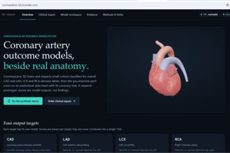
CoronaryLens 3D combines four cardiovascular predictions, interactive 3D heart visualization, explainable AI and transparent model evaluation in one research workstation.
Read a great speech, see exactly where your delivery drifts from it, and why. Every flaw is pinned to a time range and explained with the numbers behind it.
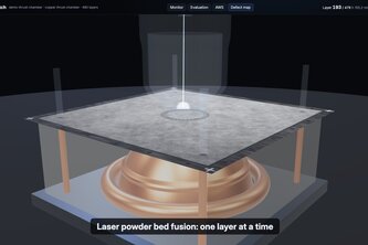
Layer by layer vision QA for metal 3D printing. OpenCV 5 spots recoater streaks and spatter, and an agent stops a bad build before it wastes 40 hours.
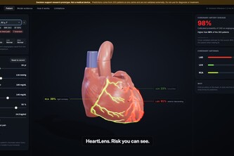
See coronary risk where it lives. HeartLens predicts CAD and LAD, LCX, RCA stenosis from clinical data and paints each artery on an interactive 3D heart, with SHAP reasons.
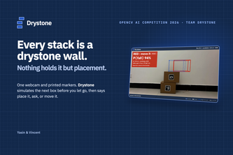
Predict before you stack: a camera, OpenCV 5 and a physics simulation estimate the chance a stack of boxes falls before the next box goes on.
A personalized AI digital twin that tracks menstrual and physiological patterns over time to detect early signs of endocrine dysfunction associated with PCOS.
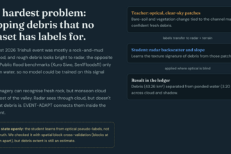
When monsoon clouds blind every camera in the sky, NadiNet's free satellite radar still sees the Jamuna and warns officials which riverbanks will collapse next, weeks before families lose their homes.
Predict where the hazard will be when the vessel gets there. POLAR PULSE uses AI to forecast Antarctic hazards and recommend safer, smarter, eco-aware routes.
An AI-powered disaster medical supply intelligence system that predicts shortages, analyzes stock and accessibility, and prioritizes where medical supplies are needed most.
An AI triage tool that tells finance, support, and HR teams whether a message is a scam, shows the exact evidence, and says "uncertain" when it isn't sure.
“Know What You Said. Know How to Say It Better.”
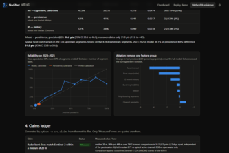
Turn satellite heat observations into ranked hotspots, clear maps, and traceable evidence for wildfire research.
Physics-gated multimodal satellite intelligence for Himalayan flood damage and community isolation.