Devpost
Participate in our public hackathons
Devpost for Teams
Access your company's private hackathons
Grow your developer ecosystem and promote your platform
Drive innovation, collaboration, and retention within your organization
By use case
Blog
Insights into hackathon planning and participation
Customer stories
Inspiration from peers and other industry leaders
Planning guides
Best practices for planning online and in-person hackathons
Webinars & events
Upcoming events and on-demand recordings
Help desk
Common questions and support documentation
Sort by:
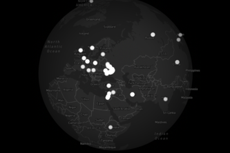
Meet the live conflict tracker — we stream raw Telegram chatter, pin every flashpoint on a map, and let an AI voice brief you with both sides of the story at a tap. Truth, mapped, revealed and spoken.
HotSpots-AI uses satellite LST, NDVI, and building density to generate 3D heat-vulnerability maps, fine-tunes model weights via Gemini, and prioritizes tree planting for maximum urban cooling.
Rescuing Surplus Meals, Nourishing Communities
Hot summer day, don't feel like walking? Want an easier route? Use Chill Path to find the best walking route for you!
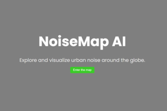
Explore and visualize urban noise around the globe.
SafeRoute: Turn accident history into safer routes. Analyse 40K+ yearly crashes to score route safety. Know before you go. Data-driven navigation.
Changing the way parking is done
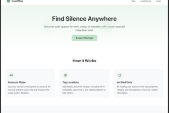
Find your next quiet workspace—map real-time noise levels, shared by the crowd.
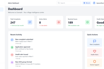
GramaAI: Empowering Villages with Smart, Simple, and Bilingual Governance
Address Book: Transform any location into a memorable word.
PathSafe is an AI-powered safety and advocacy hub that helps users navigate the safest walking routes, stay alert to nearby threats, and connect through community-verified protests and events.
First to know, First to act!
Travana is an AI travel planner that turns a simple prompt into a personalized itinerary, 3D map, and stay suggestions; no tabs, no stress, just seamless trip planning.
Real-Time AI-Powered Civic Safety and Crime Intelligence Platform solves challenges like crime trends, incident alerts, and AI-moderated community reporting channels.
Most people don’t realize how close endangered species live to them. Without local awareness, it’s hard to spark meaningful action for conservation. We wanted to change that.
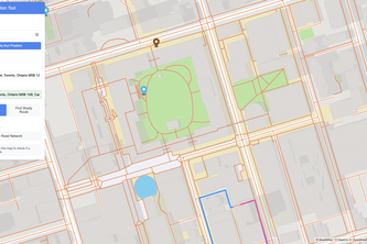
NorthStar helps you choose the safest route through Toronto by showing crime hotspots and risk-score locations with real data, whether you’re walking, biking, or driving.
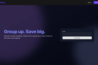
Spotted a “Buy 3, get 50% off” deal but only need one? Our app connects shoppers to split bulk deals and save—no overbuying, no wasted money. Like Honey, but actually helpful.
TravelGenie uses AI to turn your dates, budget & interests into a custom day-to-day itinerary with an interactive map and top picks, so you can ditch the planning and dive into your adventure.
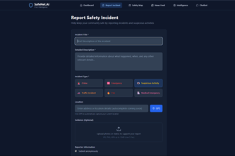
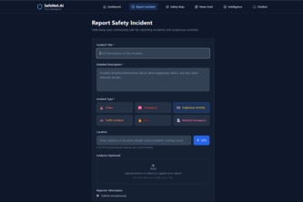
SafeNet.AI is an AI-first civic intelligence platform that empowers citizens to report, classify, and map local safety incidents using natural language, images, and geolocation
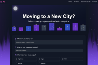
Anywhere-AI is an AI-powered web application designed to help newcomers seamlessly integrate into a new city.
AI-powered insights platform for fast, visual, and scalable data exploration.
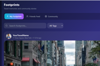
Where travellers engage
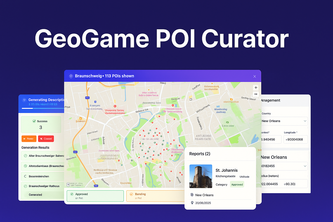
Build with 45 mio bolt tokens and 0 skill: This tool, powered by Bolt, Claude, Wikidata, Mapbox and Supabase curates locations for a real-life chase game where players explore cities around the world.
Bonfire – Sparking human connection, one gathering at a time