-
-

Bar statistical view with dark mode
-
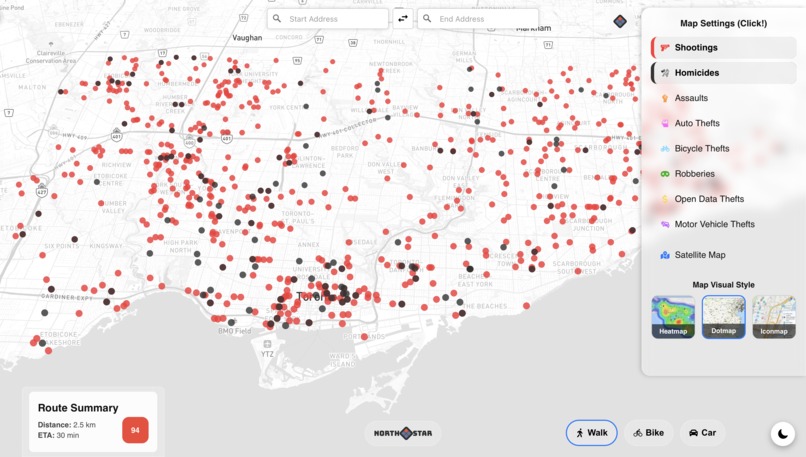
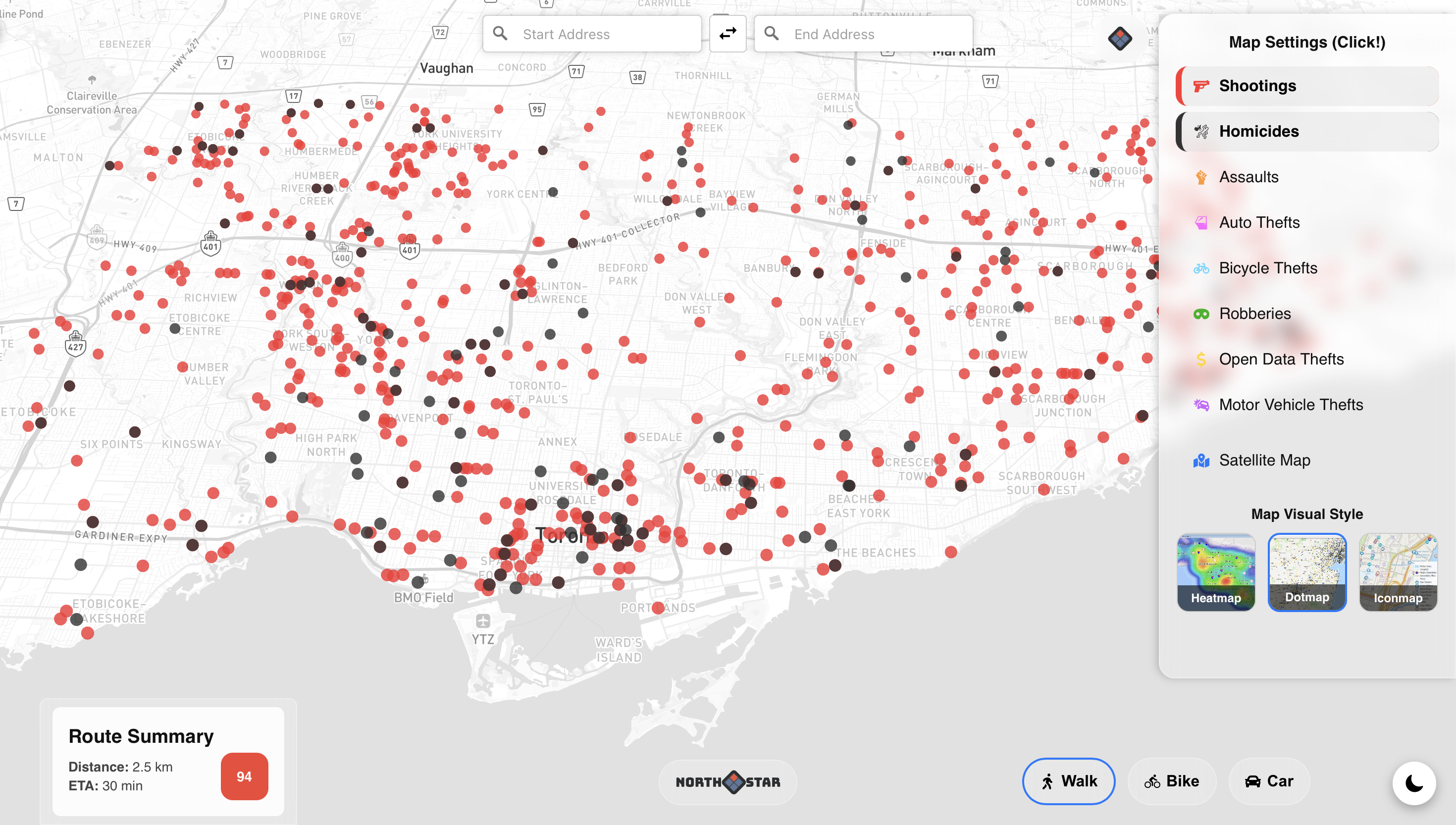
Dotmap view with light mode
-

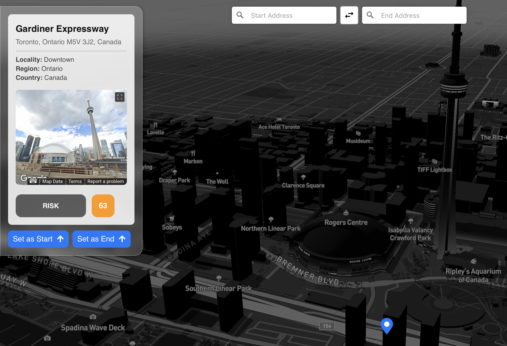
Google maps street view with risk rating
🌟Inspiration
Whether you're a local resident or visiting a new city, being aware of high-risk areas can mean the difference between feeling secure and facing real danger.
That's where NorthStar comes in.
🔧What it does and how we built it
NorthStar uses a risk-scoring algorithm that guides users around cities. While other mapping software stress on speed, NorthStar prioritizes safety by offering smarter navigation decisions powered by real crime data.
The idea of this risk-scoring algorithm was inspired by a 2019 urban crime research paper on spatial analysis methods in neighborhoods (https://www.mdpi.com/2220-9964/8/1/51). With this research, we assigned weighted influence zones to eight types of crimes (including shootings, assaults, robberies, etc.) and built a radius-based system that calculates a hazard score (from 0-100) at any location based on surrounding crime proximity and severity.
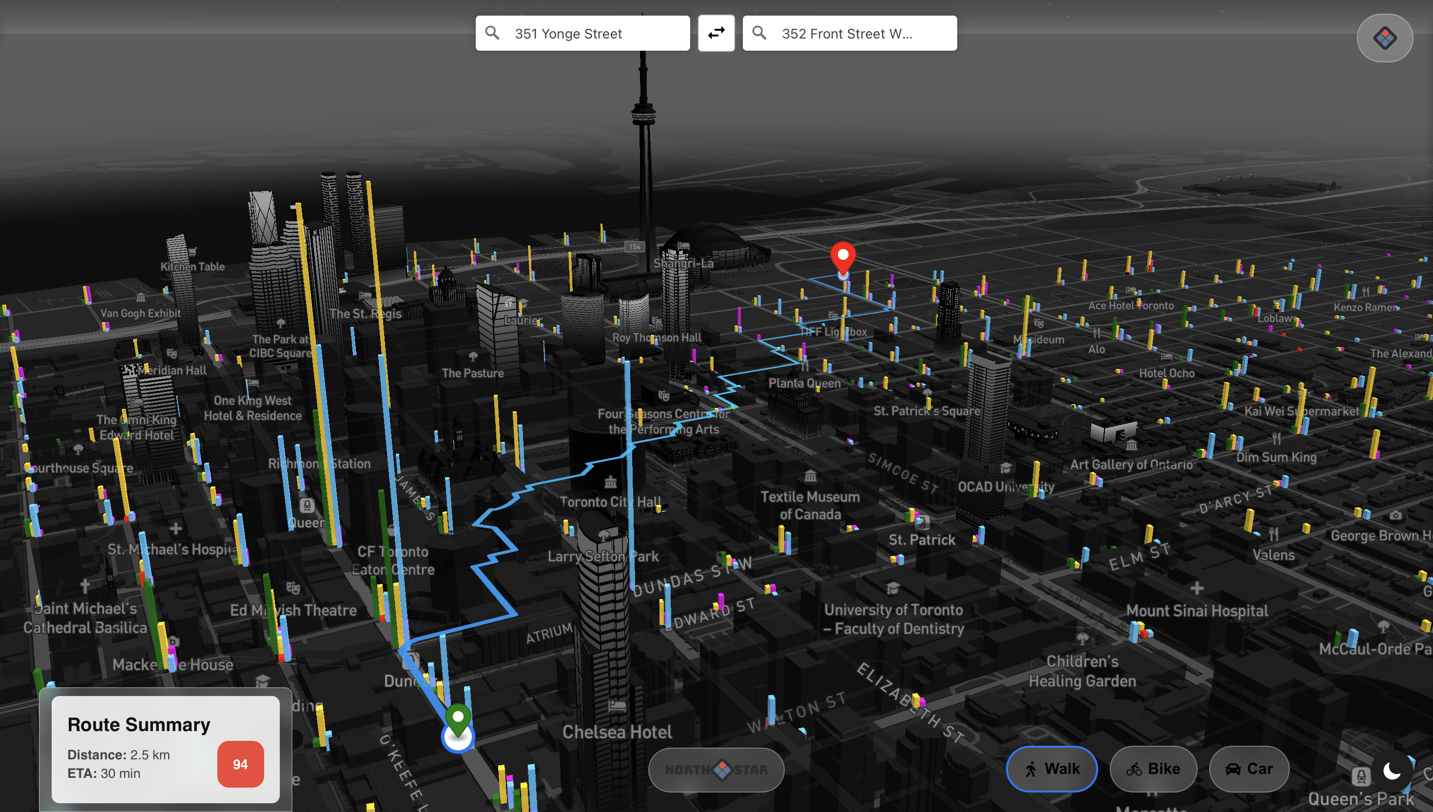
With Mapbox GL JS, we integrated our risk-scoring output into a custom web map, allowing users to view previous crimes in heatmaps with Google Maps Street View API. These safety routes are updated based on the selected travel mode (walking, biking, driving) and specific crime types that can be turned on or off by the user.
🚩Challenges we ran into and what we learned
One of the biggest challenges we faced was learning how to implement the heatmaps and the risk-scoring algorithm. Most of our team had little to no prior experience with data analysis, spatial data, or mapping tools, so we had to spend a significant amount of time learning, researching and building as we went. We learned that with time, we were able to be patient, collaborate, and teach each other new tools and concepts on the fly.
🎯Accomplishments that we're proud of
Creating a safe mapping software was a huge goal for us, to build a live navigation tool from just raw crime data. We were able to work as a team to solve a real-world problem, supporting each other through technical failures, and locked in to use this product for the better good.
🤔What's next for NorthStar
Our group plans to develop NorthStar by expanding the risk algorithm to more cities across North America and beyond. We aim to improve our model's pattern recognition, predict crime hotspots, and create a mobile version of NorthStar. We are also exploring ways to collaborate with city planners and non-profit organizations to ensure our purpose reflects safety and equality.


Log in or sign up for Devpost to join the conversation.