Devpost
Participate in our public hackathons
Devpost for Teams
Access your company's private hackathons
Grow your developer ecosystem and promote your platform
Drive innovation, collaboration, and retention within your organization
By use case
Blog
Insights into hackathon planning and participation
Customer stories
Inspiration from peers and other industry leaders
Planning guides
Best practices for planning online and in-person hackathons
Webinars & events
Upcoming events and on-demand recordings
Help desk
Common questions and support documentation
Sort by:
AI-powered monitoring system for methane plumes, with email digest.
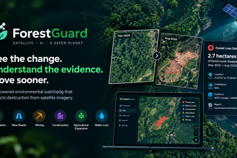
ForestGuard : An AI-powered environmental watchdog that detects environmental destruction : turn satellite data into evidence-backed environmental intelligence - identify harmful changes early!
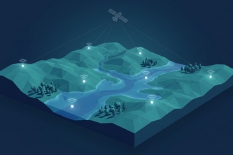
A Python GIS pipeline fusing satellite and IoT sensor data into ML predictions and cellular-automata simulations, exporting terrain and risk maps ready to visualize.
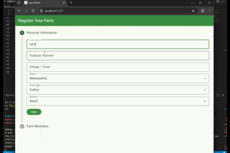
Agroshield is a smart crop insurance platform for Indian farmers
AI-powered farming platform for crop diagnosis, environmental monitoring, and market insights to boost yields and profitability.
Autonomous OSINT agent detecting oil spills faster than any human...
Bluereach AI is a full-stack climate intelligence platform that verifies carbon sequestration using satellite imagery, artificial intelligence, and blockchain technology
The Execution Co-Pilot: Closing the loop on network resilience through agentic UI navigation and policy-bounded circuit remediation.
The Strategic Translator: Bridging the gap between raw network telemetry and executive boardrooms through interleaved multimodal storytelling.
The Vision Auditor: Resolving the Topology Illusion within the Aegius Framework.
Smart Carbon Credit Verification System
Fusing Text and Terrain: An LLM-Powered Pipeline for Preparing Archaeological Datasets
TerraSense turns NASA satellite data into a 3D platform that helps farmers and regulators track vegetation health and predict land changes.
Skydive Sim brings real-world skydiving to VR with hand tracking, Ready Player Me avatars, mixed-reality LIV capture, and motion control harness — making skydiving safer, immersive, and accessible.
God's Eye automatically spots and classifies visual changes in images over time — preventing costly failures by catching what human eyes miss.
A website that tells people how climate change has personally affected them in their communities.
Your Inclusive Smart Irrigation Assistant
No More Pricey IoT Systems!
Rising temps create a vicious cycle: too hot to walk → more driving → higher temps. Our app breaks this using satellite tree detection, sun angles & building shadows for shade-optimized routing.
A search and rescue drone that doesn't waste time.
Grow, Sell, Connect!
Agentic AI middleman that verifies green farming, bundles carbon credits, negotiates with corporates & ensures instant farmer payments — bridging India’s farms to the carbon economy.
FarmOptima is an AI-driven tool that analyzes soil, water, cost, and market factors using MCDM + Genetic Particle Optimization to recommend the most profitable and sustainable crops for farmers.