-
-
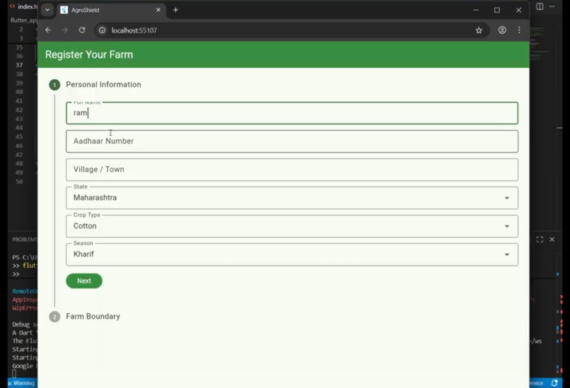
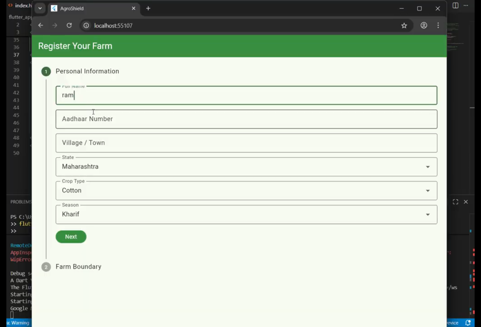
here the user enters the detail along with the coordinates
-
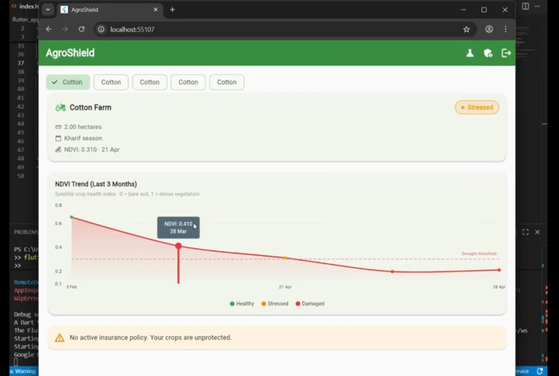
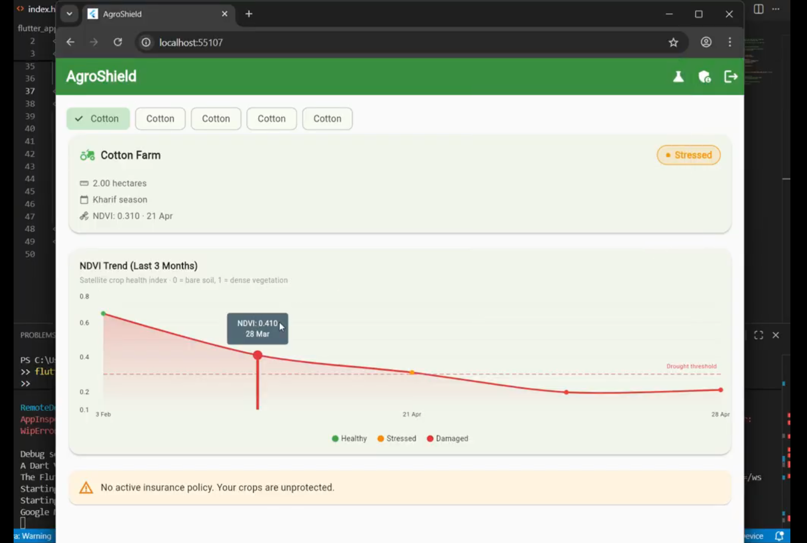
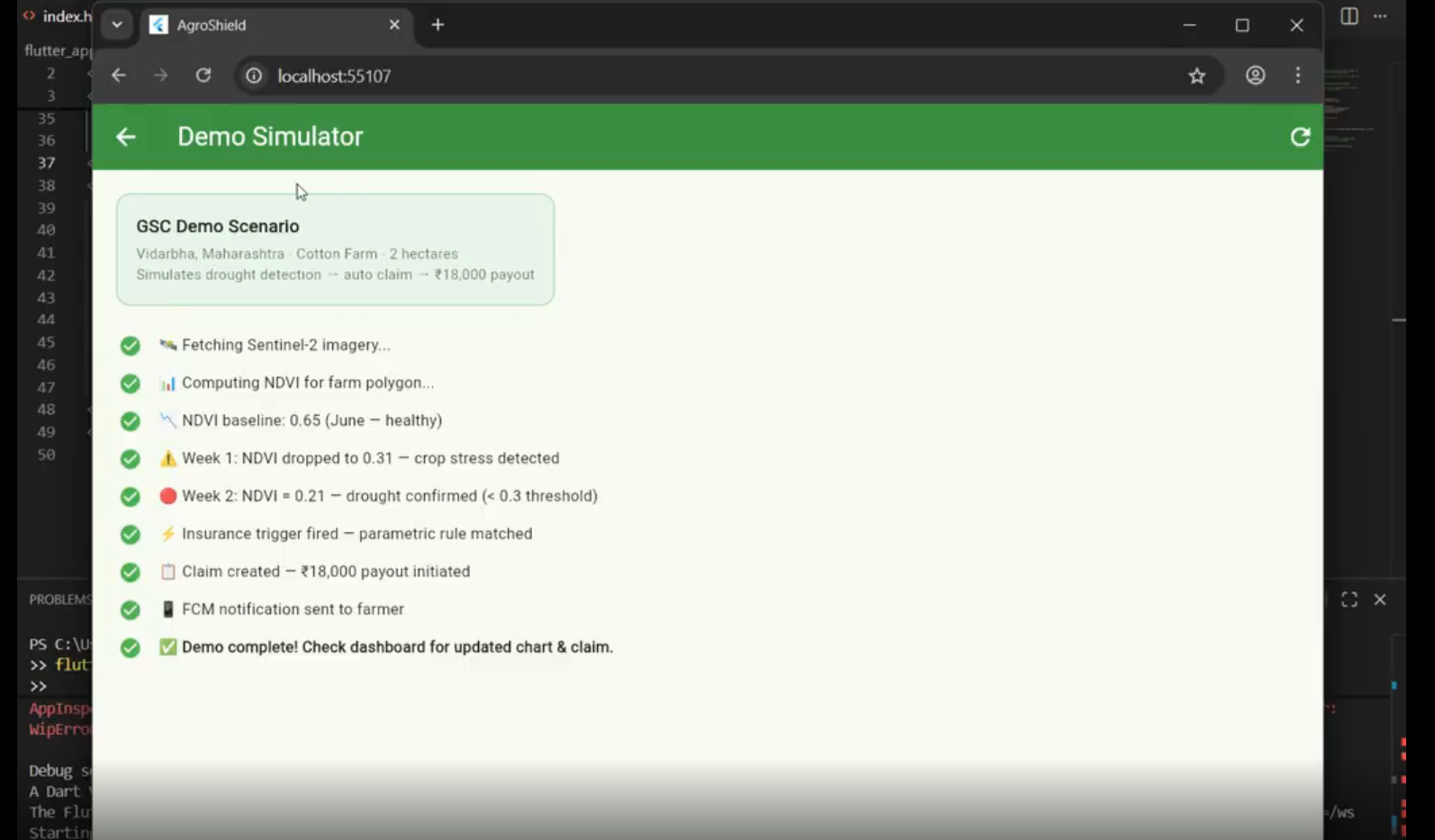
the worked out readings are shown over here
-
Inspiration
Growing up in India, we've seen firsthand how a single bad monsoon can devastate a farming family. India has 140 million smallholder farmers , yet less than 20% have crop insurance. The ones who do are trapped in a broken system — waiting 6–18 months for a human assessor to visit their field, only to have their claim rejected on technicalities.
We asked ourselves: satellites can see every farm on Earth every week — why are we still sending humans on motorcycles?
That question became AgroShield.
What it does
How we built it
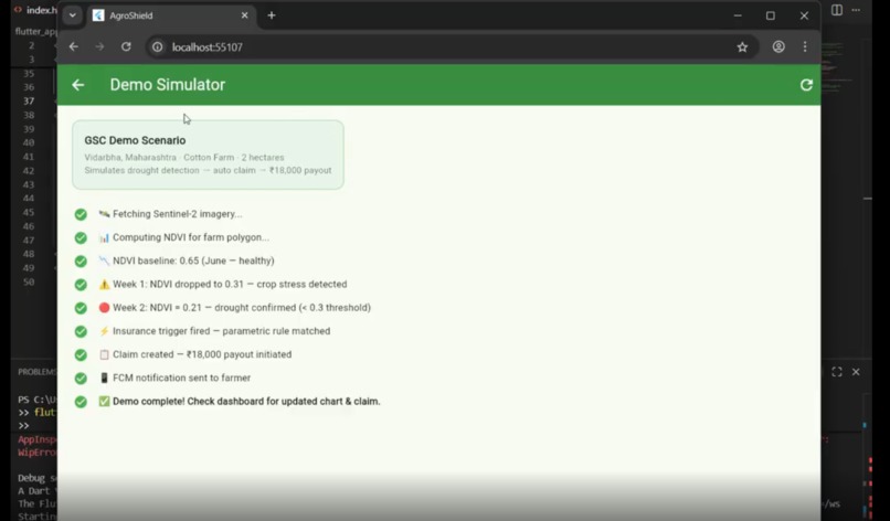
Architecture Farmer App (Flutter) ↓ Firebase Auth (Phone OTP) ↓ Firestore (farm polygon stored as GeoJSON) ↓ Cloud Scheduler → Cloud Run → Earth Engine ↓ Sentinel-2 imagery → NDVI/NDWI computation ↓ Firestore (ndvi_readings written) ↓ Cloud Function triggered → parametric rules evaluated ↓ Claim created → FCM notification → farmer paid
What we learned
We had zero satellite imagery experience before this project. Learning that crop health can be quantified with a simple formula was a revelation:
$$NDVI = \frac{NIR - Red}{NIR + Red}$$
Where:
$NDVI > 0.5$ → healthy, dense vegetation
$0.3 < NDVI < 0.5$ → stressed crop
$NDVI < 0.3$ → severe damage or bare soil
What's next for Agro-shield
UPI/Google Pay integration for instant farmer payouts
Hindi voice interface for farmers with low literacy
Offline-first Flutter app for areas with poor connectivity
Multi-peril coverage: hailstorm, unseasonal rain, temperature extremes
Expand to Southeast Asia — 600M farmers face the same problem
Built With
- dart
- firebase
- flutter
- geospsatial
- google-cloud
- google-earth
- google-maps
- machine-learning
- ndvi
- node.js
- python
- remote-sensing
- sentinel-2
- vertexai


Log in or sign up for Devpost to join the conversation.