Devpost
Participate in our public hackathons
Devpost for Teams
Access your company's private hackathons
Grow your developer ecosystem and promote your platform
Drive innovation, collaboration, and retention within your organization
By use case
Blog
Insights into hackathon planning and participation
Customer stories
Inspiration from peers and other industry leaders
Planning guides
Best practices for planning online and in-person hackathons
Webinars & events
Upcoming events and on-demand recordings
Help desk
Common questions and support documentation
Sort by:
Empowering industries with real-time data to reduce methane emissions using satellite images and machine learning to detect and predict methane concentrations at specific coordinates
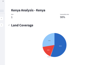
Localized Carbon Footprint Analysis: Driving Effective Environmental Policies
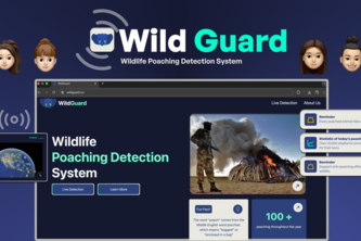
Fights poaching with satellite data and AI, ensuring a safer future for endangered animals
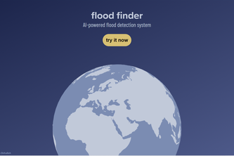
Harnesses AI to offer a system detecting flood risks and providing safety recommendations. Automatically increases location data precision, tapping into Google Earth Engine for real-time flood data.
Visualizing the Interconnected Impacts: Unlocking Sustainable Solutions through Data-Driven Insights
"Transforming cities, Empowering Communities"
AR-boretum
A project to use hurricane path forecasts and other data to assess the efficacy and accuracy of different models.
Visualizing change for a cleaner environment. Policy2Pollution is a dynamic webpage that allows you to study pollution trends through mapping pollutants and uploading data about policies.
LyondellBasell - Best Beginner Hack or Most Sustainable Because Mars does not have any GPS system, we created a ground-based positioning system in an app using Java called ROVA.
Is getting to campus difficult for you? Late for a midterm and need to rush over there? Introducing, Caliber, a bike and scooter rental app that gets you where you want to go without the hassle.
We have analyzed and visualized gas turbine data at a power site level using Python, R, and Google Earth.
Using Satellite Images taken by infrared cameras to collect data on areas of land to give information such as moisture levels, vegetation and likelihood of fire, in order to take care of land.
PlanetHer is our interactive website that connects you to information about solar system.
We trained a model to predict how the Amazon rainforest will change over time. You can interact with the map to select areas of interest and run a simulation.
Immerse yourself into a Virtual College Campus
Digitizing agri landscape
Guardians of the California. Machine learning based wildfire forecast.
Burned, or not burned, that is the question
Game which utilizes Earth Engine in order to visualize climate changing decisions
The more you snow, the smarter you grow! Using google earth engine we created a geospatial app to visualize the impact of snow melt on the ecosystem.
New routing tool for provide new green sustainable paths to people.
a tool to collect information about risks on a map-based interface
Krishi Kalyan