Devpost
Participate in our public hackathons
Devpost for Teams
Access your company's private hackathons
Grow your developer ecosystem and promote your platform
Drive innovation, collaboration, and retention within your organization
By use case
Blog
Insights into hackathon planning and participation
Customer stories
Inspiration from peers and other industry leaders
Planning guides
Best practices for planning online and in-person hackathons
Webinars & events
Upcoming events and on-demand recordings
Help desk
Common questions and support documentation
Sort by:
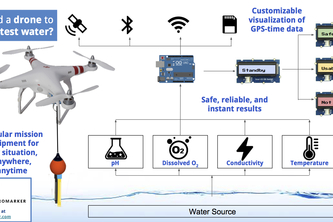
Customizable visualization of GPS-time data using modular mission equipment mounted on drones to test water
A picture-perfect place for you
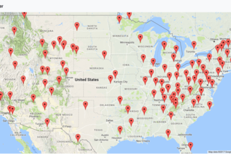
Interactive map to connect people to local grown fresh food
Media is more interconnected today than your tv and radio. What if there was a way to see these connections?
Great War Map is an interactive map of the world in 1914 that allows you to learn about countries & battles in WWI.
An application to help the needy find the food shelter that has the most amount of food to give
Watch out for floods before they happen
Unleashing the all-seeing power of satellite imagery onto autonomous drones.
Connecting agronomists across the nation through automated data logging
A social media web application that allows users to submit hazard data based on their geolocation Fast!
Central web based data service for Mercy Corps as well as other partner and donor organizations
EDC Crowd Density Meter
Short and sweet API for locating local train stations, as local as local stations get
See the journey of the food you consume!
A network of the sky - The movement of people visualized.
To keep you and your family safe
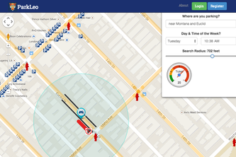
Comprehensive and intuitive parking platform that can be used on all devices to take the stress out of parking
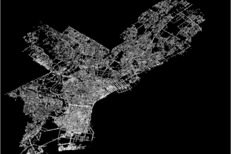
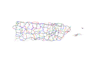
Historic contribution to data.pr.gov the major roads for the entire Island
Rapid geospatial based global extinction risk assessment
The only app you'll ever need to park your car!
The new medium for checking water sanitation.
Application that enables riders to share their improvement ideas and areas of concern regarding VTA bus stops
Street Parking signs precognition: helps avoid parking tickets before your park
Simplifying travel by combining energy efficient modes of transportation.