-
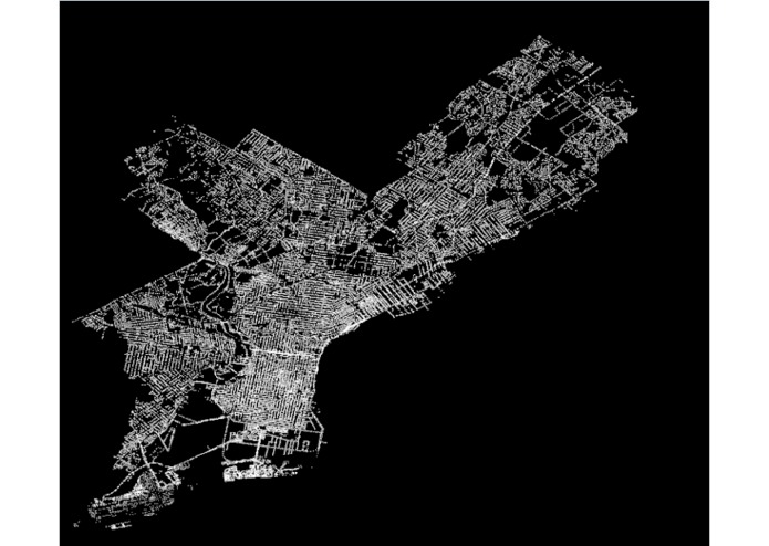
map of drains in Philadelphia

Inspiration
There were flash flood warnings in California during winter break.
What it does
Flood Watch analyzes the risk for a region to flood in advance by considering various factors including recent precipitation, presence of drains,
How we built it
We parsed large datasets of geographical data pertaining to Philadelphia using Python and Javascript, and converted this data into a visual geographical format. We roughly implemented the algorithm described in Wicht and Osinska - Skotak "Identifying urban areas prone to flash floods using GIS - preliminary results" to determine the risk of flood.
Challenges we ran into
For some factors we were unable to find sufficient data pertaining to Philadelphia, which potentially compromises the accuracy of the model for Philadelphia. It was also difficult navigating through the various file types used in representing geographical data and converting between them.
Accomplishments that we're proud of
Successfully avoiding floods at least during PennApps
What we learned
Parsing data is hard.
What's next for Flood Watch
Watching out for more floods


Log in or sign up for Devpost to join the conversation.