Devpost
Participate in our public hackathons
Devpost for Teams
Access your company's private hackathons
Grow your developer ecosystem and promote your platform
Drive innovation, collaboration, and retention within your organization
By use case
Blog
Insights into hackathon planning and participation
Customer stories
Inspiration from peers and other industry leaders
Planning guides
Best practices for planning online and in-person hackathons
Webinars & events
Upcoming events and on-demand recordings
Help desk
Common questions and support documentation
Sort by:
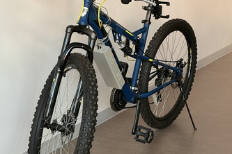
Ontario is tearing out bike lanes without data. 4sight gives cyclists eyes in the back of their head, warning drivers before a car passes too close, and turning every close call into open evidence.
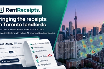
Because signing a lease shouldn't be a leap of faith
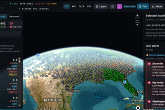
When the planet throws disasters your way, plan for it! Live weather intel for power-plant crews: stop-work alerts, 6 PM briefings, and where to send crews first. AI-ranked, data-checked.
placeholder text
Apollo turns your phone’s built-in sensors into a vital signs monitor, with no extra hardware, and helps you decide what to do next.
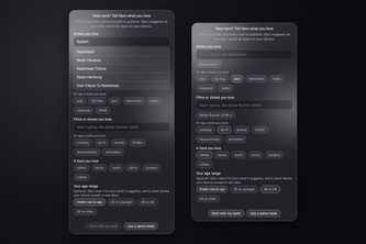
Just ask. Get picks that fit you
The only shady business you actually want to have.
FlorCast combines decision-tree ML with rainfall and storm-surge forecasts to map Florida’s flood risk, estimate property impacts, and guide AI-assisted evacuation planning.
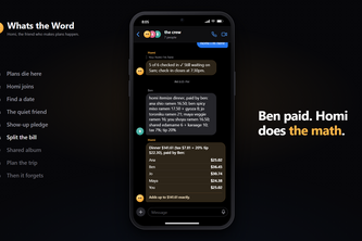
The friend in your group chat who gets everyone to dinner: finds the date, follows up privately with the quiet ones, picks the place by majority, splits the bill.
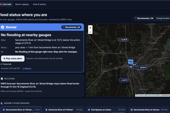
Is my street safe to drive? Street-level flood warnings backed by live NOAA and NWS data, telling every resident if their road is safe and what to do, in their own language, by text and voice.
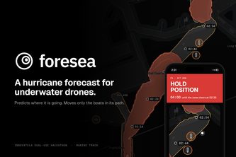
Foresea predicts where an unknown underwater drone/object is going and moves only the boats in its way, so the port never shuts down. On normal days it protects divers, whales and crews too.
Ding is designed by women, for women, to be the best safe route planner. Getting you from location A to location B
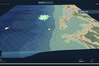
The simulation examines pollutant data from San Juan, Puerto Rico and makes predictions on how the pollutants will spread.
53% of US pregnancy-related deaths happen after birth, when many parents see a doctor once. Tidewell closes the gap: a one-minute voice check-in that spots warning signs and gets them to care sooner.
Get lost, explore more! Our maps app creates safe, unique routes to your destination, revealing hidden gems, landmarks and local hotspots. Track your footprint and discover more of your city!
AquaNexus turns real-world data into flood-risk insights, helping communities anticipate danger, identify vulnerable areas, and make smarter decisions before disaster strikes.
We Solved Traffic. A realistic simulation of downtown Toronto where reinforcement learning controls the traffic lights to reduce congestion and speed up emergency vehicles.
Second Serve uses AI to turn surplus food into nutritious meals, connecting food donors with community kitchens to feed more people and waste less.
Twenty tabs and no idea what it costs? Tripezium turns your saved TikToks into a day-by-day itinerary, costed in local and home currency, and re-plans by chat when holidays or plans change.
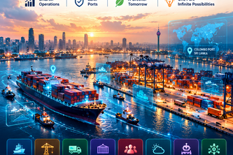
PortMind AI Colombo — Smarter Ports. Intelligent Decisions.
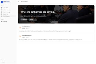
Every SOS in one trusted queue. CrisisConnect merges crisis messages from every channel into verified household cases, ranks who to call first, and tracks help until it’s delivered.
Your parent needs care? ElderCare turns Taiwan's long-term care rules and 11,722 government providers into an exact 2-minute plan: costs, deadlines, and who to call first.
A 3-in-1 project to help De Anza students plan their courses, schedule their events, and ask all questions about De Anza.
Help that understands you. VoiceFlare calls every home in a danger zone in its own language, holds the alert until four neighbours confirm it, and tells the city who needs a person.