Devpost
Participate in our public hackathons
Devpost for Teams
Access your company's private hackathons
Grow your developer ecosystem and promote your platform
Drive innovation, collaboration, and retention within your organization
By use case
Blog
Insights into hackathon planning and participation
Customer stories
Inspiration from peers and other industry leaders
Planning guides
Best practices for planning online and in-person hackathons
Webinars & events
Upcoming events and on-demand recordings
Help desk
Common questions and support documentation
Sort by:
Our project uses interactive maps and data visualization to track hurricane paths and highlight affected areas.
Our project predicts ocean currents and future trash accumulation. Using data and ocean modeling, we help cleanup efforts target key areas, raising awareness about global warming and plastic pollution
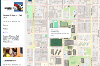
An interactive map using leaflet.js and information from BYU I-Belong.
"Smart WiFi tracking optimizes BYUI's HVAC and automates class attendance. Cut energy costs, save time, and boost efficiency. Campus management, revolutionized. Interactive map for easy use.
CivicEye: Amplifying Voices, Accelerating Action
Shows you a map of where it's most dangerous to live in the USA.
To assess who the most vulnerable people are before a disaster to ensure resources are allocated to the disabled and the elderly effectively.
The Reusability Solution for Governor’s Island
Your Trusted Guide for Seamless Transit and Safety at the 2028 Olympics
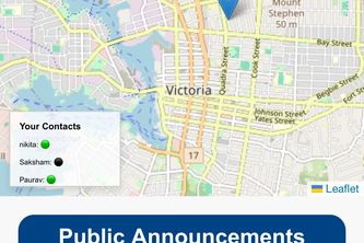
Stay connected, stay safe. A government-backed platform providing real-time location tracking, public alerts, and resource sharing to support communities during crises.
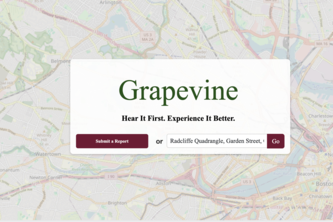
Grapevine is an online platform that uses local insight through real-time reports to help visitors hear through the grapevine as if they were locals themselves.
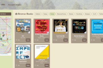
Our mission is to give used books a second life, a second chapter. We hope to inspire a culture of sustainability, where knowledge is shared and environmental impact is minimized: one book at a time.
HomeFind – Tell us what you want, we’ll find you the perfect place.
GeoFalcon is your rescue wingman! Tracks people during disasters and guides them to the nearest shelter, helping achieve a swift and precise Rescue.
Urban Survival is a cyberpunk-themed app blending AI, mood tracking, and a city map to help you recharge. Navigate urban chaos with personalized hacks for emotional balance in a high-tech dystopia.
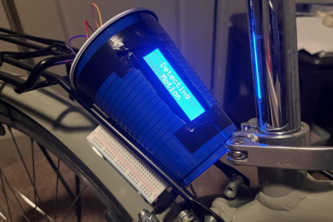
Introducing CycleGuard – the ultimate anti-theft system for bikes and scooters! Receive alerts for tampering and track your vehicle's location in real-time, ensuring peace of mind wherever you go!
Our mission is to spotlight sustainable fishing practices by encouraging people to catch non indigenous species, which helps protect the environment while providing a delicious meal!
Nourishing Communities, Serving Smiles and Ending Hunger
Connecting neighbors to share skills, learn new ones, and build a stronger community!
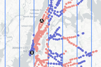
I created a fun visualization and interactive map of all the subway stops in New York City! I use them to illustrate how your sense of directions get warped when you're on the island of Manhattan.
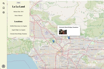
Ever wondered where your favorite movies were filmed? Introducing CineMap—a platform where cinema fans worldwide can discover and share iconic filming locations, while leaving their own stories behind
#homelessness
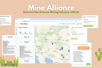
Reinventing a sustainable future for Arizona Mining Industry with AI
iSpyRev: Uniting Texas A&M traditions with a seek-and-find search for our campus' most beloved!