-
-

Logo
-
-

-
-
Inspiration
We were inspired by recent hurricanes and other disasters causing areas to be isolated. These hard-to-reach areas prevented many, especially disabled and elderly, to not get the medication they need in time. Many rescue workers also had to break into homes to find victims, some barely able to walk, unable to leave their homes, and did not have enough supplies to last. We wanted to alleviate some of the causes/effects and the main demographic that may be vulnerable to this situation.
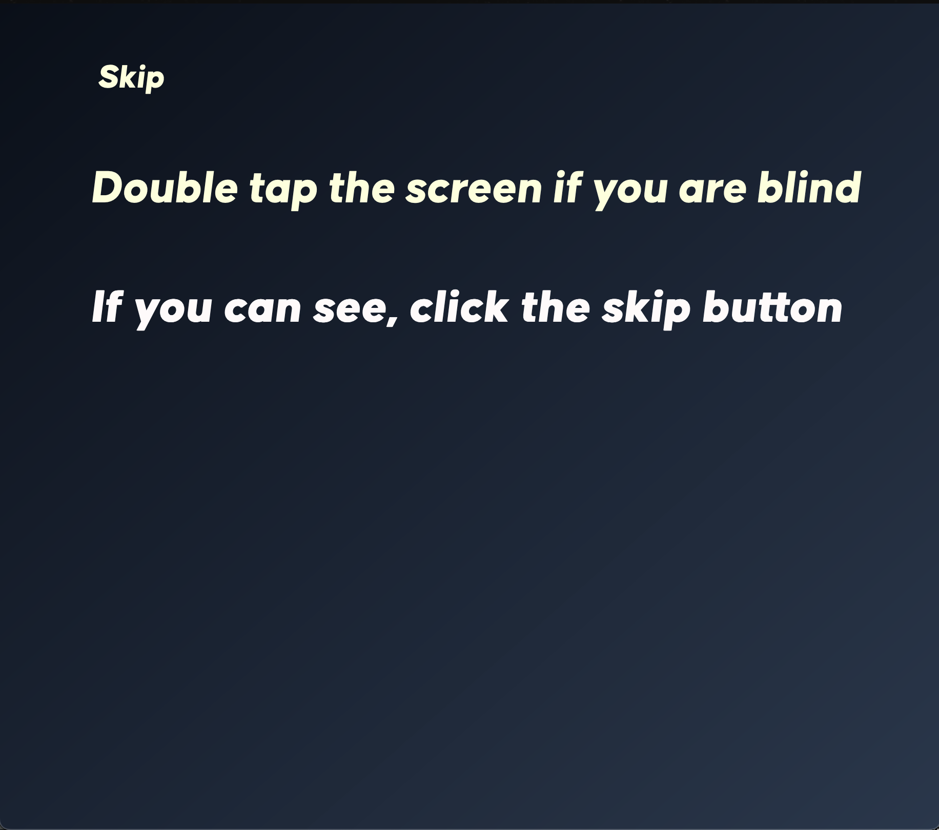
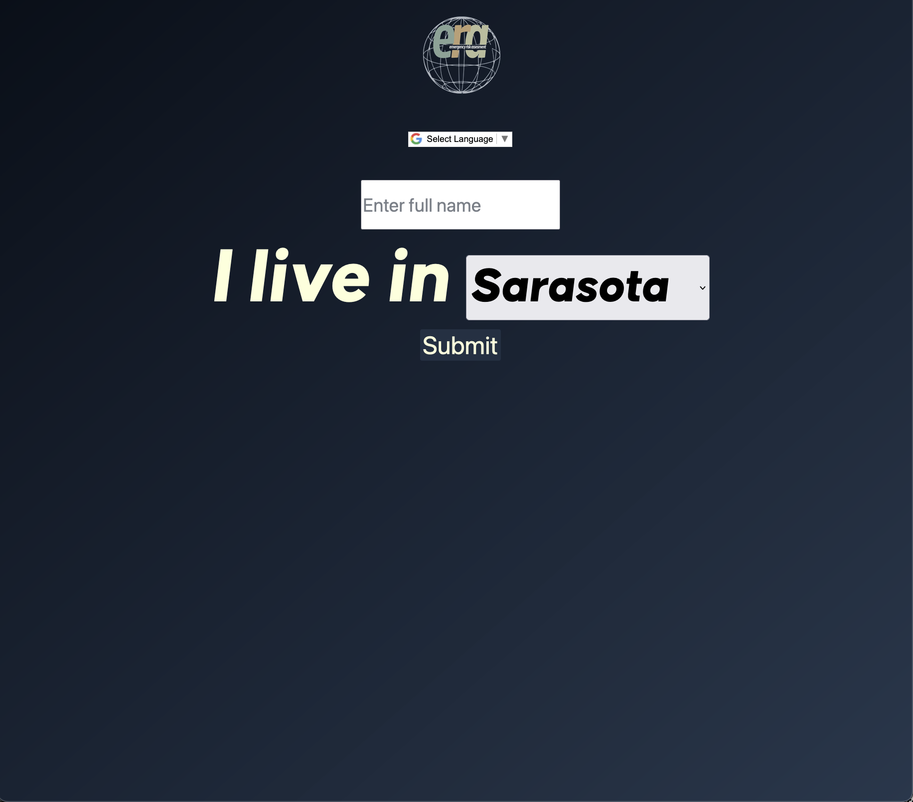
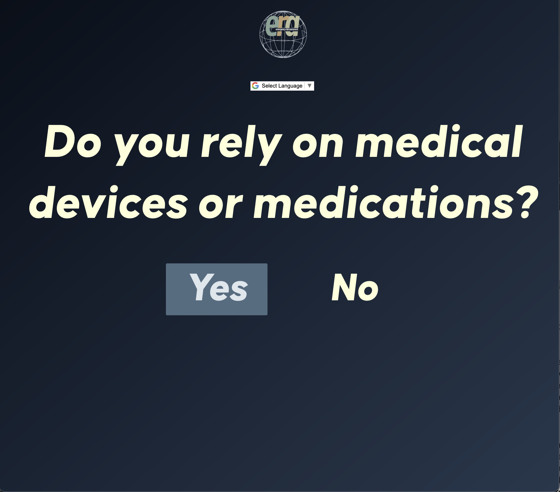
What it does
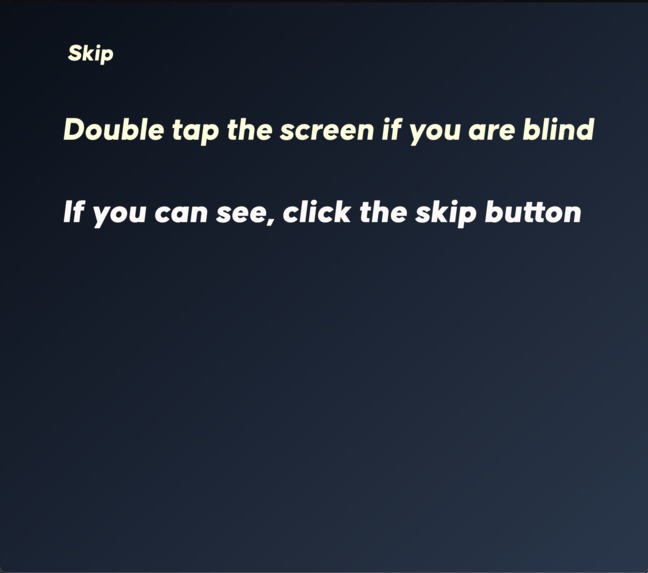
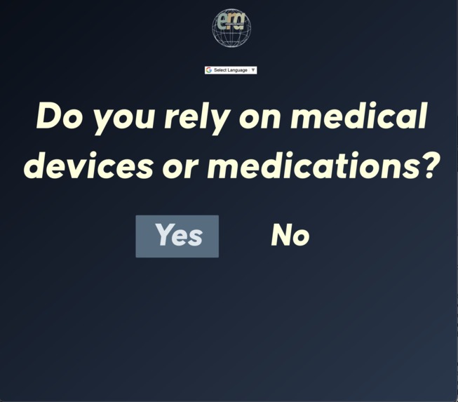
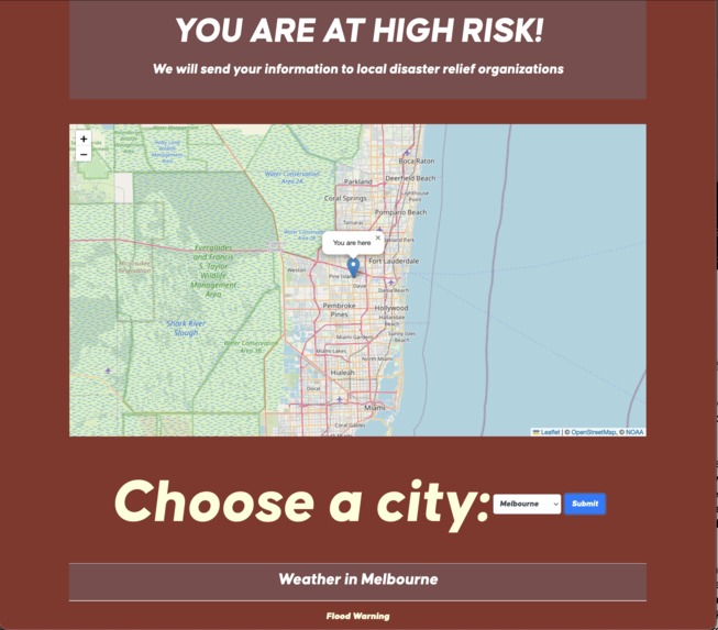
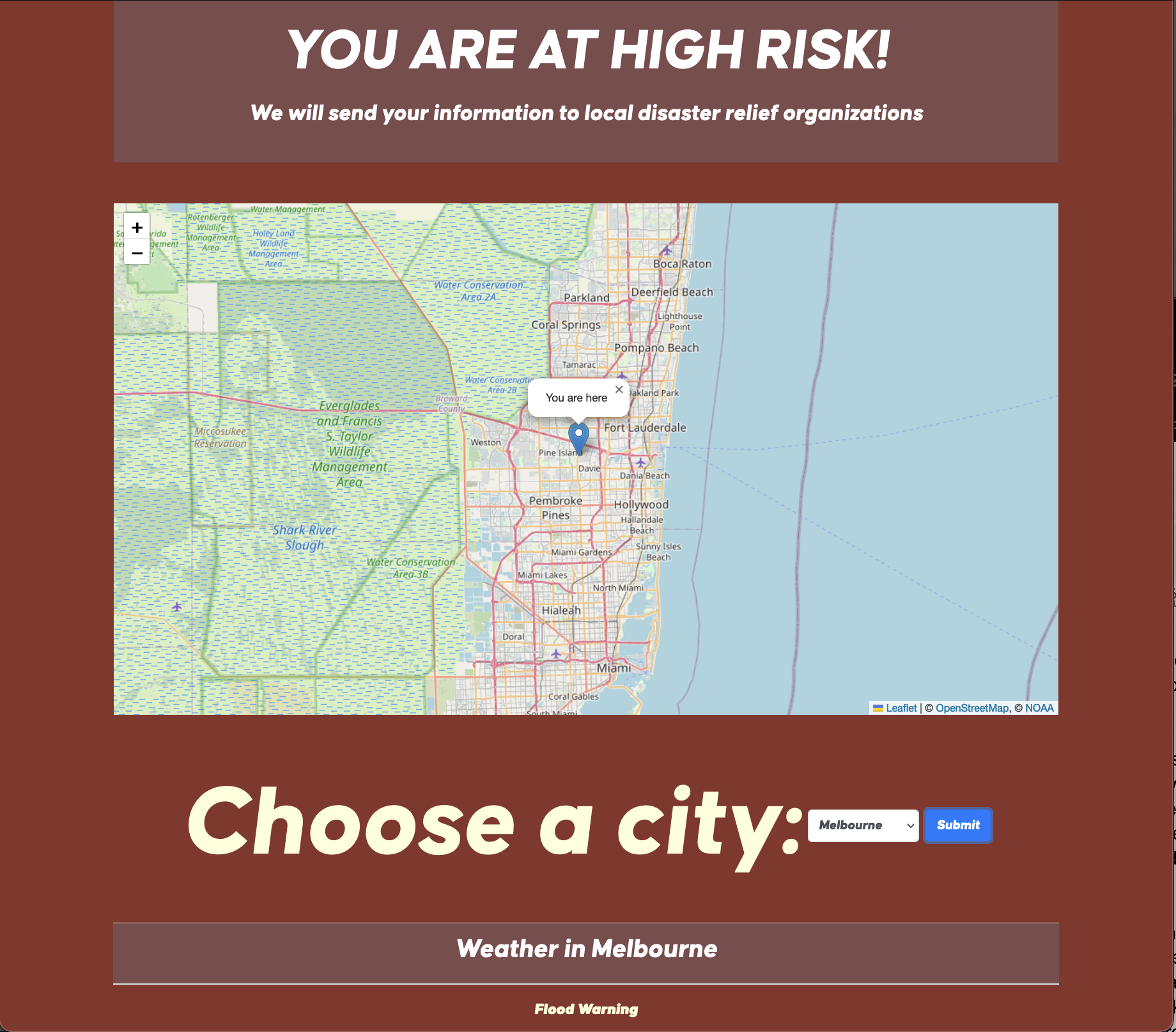
Our code issues an accessibility-friendly website for disabled and elderly (additional accessibility for low-vision and blind people) before a disaster and determines if they are high, low or medium risk. Data is shared to another website for emergency services and humanitarian aid to view and assess the next steps to preparation or/and recovery. The website also alerts users of weather warnings from the NOAA as well as show a map radar of their area.
How we built it
We used HTML, JavaScript, and CSS using VSC to share code amongst our group
Challenges we ran into
The database and the map has a lot of difficulties in the set-up as well as overlaying the map tiles and implementing sound.
Accomplishments that we're proud of
Getting the weather radar to show up on the map as well as alerts for specific areas to appear on the screen.
What we learned
We learned how to use APIs from National Weather Service and Leaflet and learned Firebase to share data between files.
What's next for Emergency Risk Assessment
We envision ERA to be a lot more accessible for all as there are still some flaws with the accessibility. Better weather warnings and hazards imaging overlay to allow more information to be relayed to users.


Log in or sign up for Devpost to join the conversation.