Devpost
Participate in our public hackathons
Devpost for Teams
Access your company's private hackathons
Grow your developer ecosystem and promote your platform
Drive innovation, collaboration, and retention within your organization
By use case
Blog
Insights into hackathon planning and participation
Customer stories
Inspiration from peers and other industry leaders
Planning guides
Best practices for planning online and in-person hackathons
Webinars & events
Upcoming events and on-demand recordings
Help desk
Common questions and support documentation
Sort by:
Solar power is the one of the cleanest forms of renewable energy. Have you ever wondered if your house should have solar panels? Try out Best Sun for a financial analysis of solar panels for you!
We aim to empower sustainability-focused transportation by incentivizing our users to choose travel options that have reduced carbon emissions.
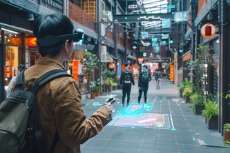
WALKR is a mixed reality navigation tool that makes city exploration accessible and intuitive. With AR-routes, WALKR helps users find their way around easily, making complex urban navigation a breeze.
SafeSteps transforms campus safety by mapping HELP phones, providing real-time features like live location sharing and SOS call. Ensuring students have the tools they need to navigate campus safely.
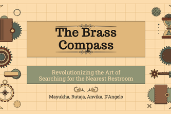
Revolutionizing the Art of Searching for the Nearest Restroom
Using advanced image recognition, we help patients and physicians screen for monkeypox. Our cutting-edge object detection models allow for further examining of possible skin conditions.
Planning group meals can be a headache with everyone's different preferences. What2Eat solves that with a single click, finding a restaurant everyone will love!
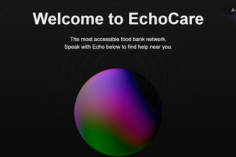
3.4 million individuals are food insecure in SF. 150,000 tonnes of food are wasted every year in SF. Echocare leverages A.I. and advanced tools to kill these 2 problems with 1 stone.
Voyago - tailored group adventures, seamlessly planned.
Your personal emergency preparedness app. Stay ahead, stay safe!
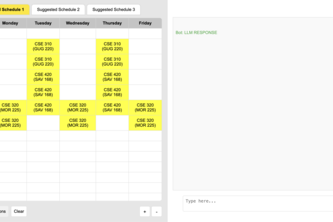
Effortless class planning recommendations
We developed a software that allows users to find any tourist related attractions in an area that they defined. It accepts parameters such as budget, time restrictions, as well as age restrictions.
TrueCritic cuts through the noise by ranking top-rated spots based on reviews and quality awards, helping users find the best with ease in a world overflowing with choices.
We introduce CrisisCompanion to unify essential resources during a hurricane, including guides on supplies, flood maps, shelters, clinics, navigation, live assistance, and general preparation.
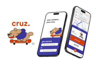
uber on campus meets tinder for friends
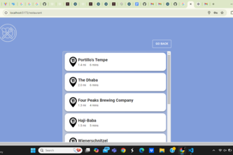
Crave It! is a webapp that helps you decide whether to cook or dine out by providing recipes based on cravings and ingredients, or finding nearby restaurants made for your taste, budget, and location
Guideway is a responsive website that keeps users informed of the status of their routes by connecting them to fellow travelers
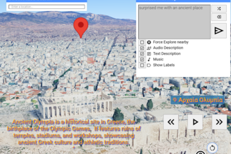
WorldInteract pushes the boundaries of multimodal interaction beyond images, audio, and text. Thanks to the power of Gemini, it transforms user input into immersive, automated journeys.
Streamline your nutrition and boost your progress. Find the food that gets you to your goals with our intuitive app.
Jean is your personal scheduling assistant. Jean makes your calls, books your appointments, and frees the day to yourself.
SafeHaven is a disaster relief app that connects you to real-time shelter availability, essential resources, and live alerts, ensuring you stay informed and safe during emergencies.
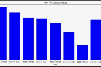
Flysight integrates multiple datasources to derive insights into growing profitability of airlines, utilizing machine learning, airport geodata, flight info, and Bloomberg projections.
FitMate connects you with local athletes based on shared interests. Find workout partners nearby and see how close they are. Discover fitness companions and train together with FitMate!
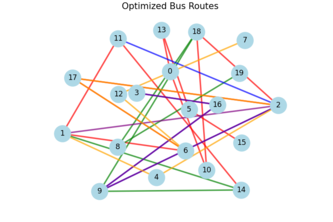
BitStop: a better way to bus. BitStop is a dynamic, democratic, and intelligent bus route generation platform that utilizes foot traffic data, enabling planners to provide the bus routes people need.