Devpost
Participate in our public hackathons
Devpost for Teams
Access your company's private hackathons
Grow your developer ecosystem and promote your platform
Drive innovation, collaboration, and retention within your organization
By use case
Blog
Insights into hackathon planning and participation
Customer stories
Inspiration from peers and other industry leaders
Planning guides
Best practices for planning online and in-person hackathons
Webinars & events
Upcoming events and on-demand recordings
Help desk
Common questions and support documentation
Sort by:
Nightwatch helps stargazers find what to look for and where to see it, with astronomy resources and a light pollution map.
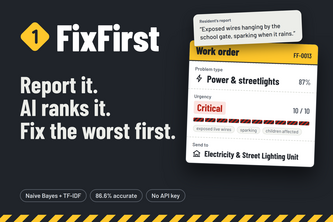
Residents pin a local problem on a map and describe it in plain words. FixFirst's AI sorts it, scores the danger, catches duplicates and ranks what to fix first.
An interactive map directory for pet services with a sitter booking platform and a multi-language AI veterinary advisor powered by Gemini 2.0 Flash, easily scalable to any city worldwide.
A crowdsourced map to find free clinics, food banks, water points, shelters, and tutoring across Delhi NCR — no login, no gatekeeping.
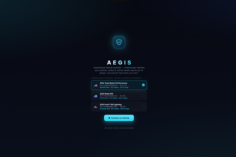
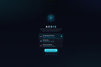
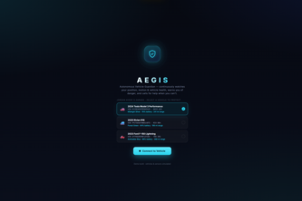
AEGIS is an in-car AI guardian for the person who can't call for help themselves. It connects to your vehicle and continuously watches your position, motion, and vehicle health.
For the person who's driving alone, elderly, or knocked unconscious, AEGIS notices, talks to them, understands if they're hurt, and gets help with a medical brief already in the responders' hands.
URSA helps you look out for the people you care about, solo or group: temporary check-in sessions with live location, voice pings, and a can't-miss SOS
Beacon — Help, made obvious. An AI that points you to free local support nearby.
A full stack atmospheric platform which is built using React, FastAPI, and YOLOv8 to turn the live climate data and proxy policy simulations into direct advocacy tools for the city youth
An AI-powered planetary intelligence platform that detects environmental threats, generates actionable solutions, and connects communities to create real-world impact.
A location-based urban legend social platform where anyone can submit, discover, and explore creepy stories tied to real world locations on an interactive map.
A real-time geopolitical strategy game where you play as the President of the United States. Make decisions on live world events, manage factions, and shape history.
Your waze for UC Davis biking - your shortest and safest path to your destination.
Real‑time arbitrage insights for data center power.
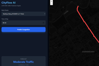
A Spatio-Temporal deep learning engine that forecasts urban traffic bottlenecks without relying on expensive live APIs
We don't guarantee success; We show what already does
Echoes turns any NYC location into a living history. Tap a spot, hear a voice from the past tell you what happened there, powered by real archives, generated live.
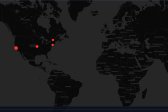
A real-time home network visibility dashboard. See where every device on your network is connecting, on a live world map, without opening a terminal.
Navigation apps optimize for speed. LumenPath uses real-time city data and a custom multi-criteria A* algorithm to optimize for pedestrian safety.
Collect. Trade. Upgrade. Compete. All with interactive digital trading cards.
AI-powered energy transparency for Atlanta, see what data centers are costing your neighborhood, take action in one click, and schedule AI workloads for a greener grid.
Community