Devpost
Participate in our public hackathons
Devpost for Teams
Access your company's private hackathons
Grow your developer ecosystem and promote your platform
Drive innovation, collaboration, and retention within your organization
By use case
Blog
Insights into hackathon planning and participation
Customer stories
Inspiration from peers and other industry leaders
Planning guides
Best practices for planning online and in-person hackathons
Webinars & events
Upcoming events and on-demand recordings
Help desk
Common questions and support documentation
Sort by:
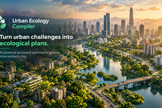
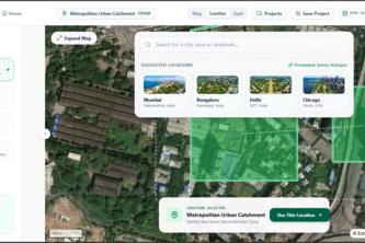
An AI-powered urban ecology compiler that transforms real-world geospatial data and city goals into optimized, visual plans for greener, cooler, more resilient cities.
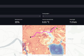
Know which streets run hotter — street-by-street heat maps from free satellite data, no sensors needed. Plus cooler bike routes.
Know what the field needs before the crop has to ask.
A forecast-ready 3D urban flood twin that turns rainfall uncertainty into neighbourhood and road-impact screening for Lahore.
Turn any real-world location into an editable Blender scene. GeoBlender autonomously builds, renders, evaluates, and refines 3D environments from map data.
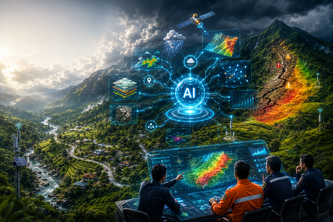
An AI-Powered Landslide Risk Intelligence & Early Warning Platform for Sri Lanka
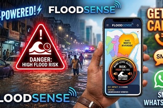
FloodSense turns IMD and CWC flood data into ward-level AI predictions and multilingual voice, SMS, and WhatsApp alerts, giving residents life-saving minutes before water reaches their streets.
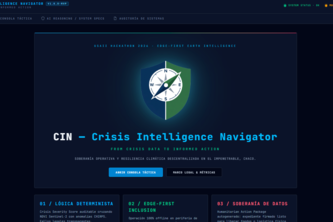
From Crisis Data to Informed Action: An AI-powered decision support system helping rural producers affected by droughts and wildfires assess risk and prioritize actions through spatial evidence
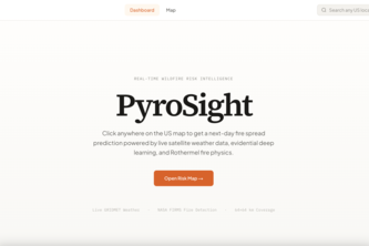
Predict tomorrow's wildfire spread today.
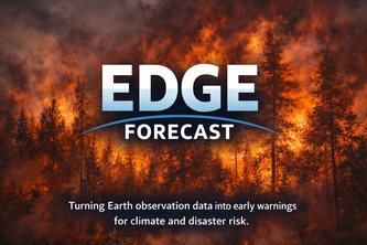
EDGE Forecast: Turning Earth observation data into early warnings for climate and disaster risk.
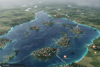
JolChobi visualizes flood forecasts & impact in Sunamganj(Bangladesh) with interactive maps. Empowering citizens & govts in Bangladesh to respond quicker, saving lives & livelihoods.
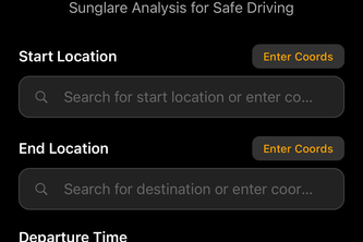
Drive safely with GlareGuard; the smart navigation assistant that alerts you to when and where sun glare could impair your vision, keeping you prepared and in control.
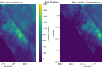
This tool allows the user to input a sea level rise, the elevation data for a specified region, and generates maps/plots of the region and how the change in sea level has altered the terrain.
A custom map was plotted, stylized and printed employing space technology.