Devpost
Participate in our public hackathons
Devpost for Teams
Access your company's private hackathons
Grow your developer ecosystem and promote your platform
Drive innovation, collaboration, and retention within your organization
By use case
Blog
Insights into hackathon planning and participation
Customer stories
Inspiration from peers and other industry leaders
Planning guides
Best practices for planning online and in-person hackathons
Webinars & events
Upcoming events and on-demand recordings
Help desk
Common questions and support documentation
Sort by:
Forecast the storm before it hits.
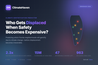
Predicting which Florida neighborhoods will gentrify due to climate change. Safe areas are becoming unaffordable, we identify at-risk communities before displacement becomes irreversible.
GooseThink is a prediction market with 5 AI bots that trade binary contracts forecasting Canadian goose migration using real NOAA weather data. Real LMSR market maker and quant finance ... with geese.
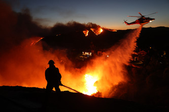
AI-powered incident commander assistant that turns real-time weather, fire spread, geospatial, and resource data into clear insights—helping firefighters act fast in the first critical minutes.
EnviroSentinel Pro brings floods, fires, heat, microplastics, EcoRoutes, and community reports into one real time map with AI-forecasts+alerts to act fast and plan resilient futures. Save the Earth!
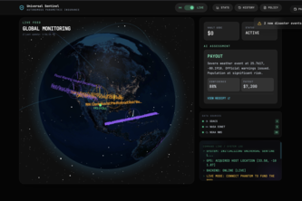
Zero-Delay Humanitarian Aid
A no-code flood prediction and alert platform helping Miami residents and city planners forecast and prevent flood damage through real-time, community-driven insights.
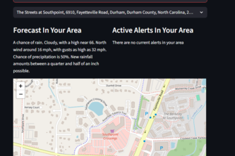
Stay safe from the intense heat in Durham, North Carolina with this app!
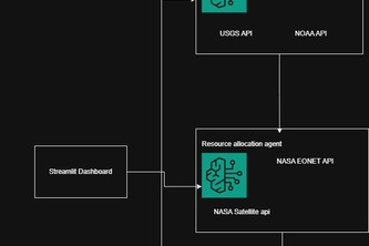
ResQ-Agents: an AI-powered natural disaster response system that monitors, analyzes, verifies, and alerts in real time with potential to save millions of lives.
Your city’s climate story—visualized for students, teachers, and changemakers by making climate change local, visual, and easy to understand.
Your city’s climate story—visualized for students, teachers, and changemakers.
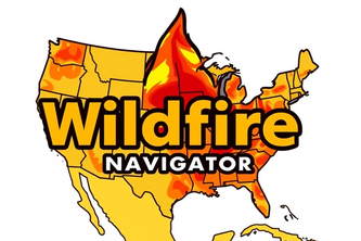
Wildfire Safety Navigator is an app showing real-time heatmaps and danger zones, guiding civilians to shelters safely, optimizing firetruck routes for faster, smarter firefighting during wildfires.
Local weather predictor at your fingertips
Ever wonder why you can or can't see the ISS? The Astro Wiz combines ISS tracking, weather, and solar data to explain visibility. We provide insights for all skywatchers-space is just a click away!
Project Quench is a wildfire app showing real-time heatmaps and danger zones, guiding civilians to shelters safely and optimizing firetruck routes for faster, smarter firefighting during wildfires.
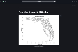
Our app is meant to help residents of hurricane impacted areas by consolidating and displaying relevant information.
Our application leverages machine learning and real-time NOAA data to forecast essential water quality metrics like oxygen levels and pH with interactive data visualizations.
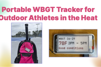
An IoT device that finds and displays the local WBGT forecast. It allows outdoor athletes to be aware of the environmental conditions for their activities.
Drones on the battlefield can't rely on GPS signal. We've created an alternative navigation method that uses LiDAR altitude readings to match a drone's flight path with a saved topographic map.
A virtual reality simulation that allows users to experience the impact of climate change on ecosystems and wildlife can be a powerful tool for raising awareness about environmental issues.
gridMODEL 2.0 presents striking stimulations of anomalies in surface temperature in a user-friendly way that can provide valuable insights to the everyday person!