-
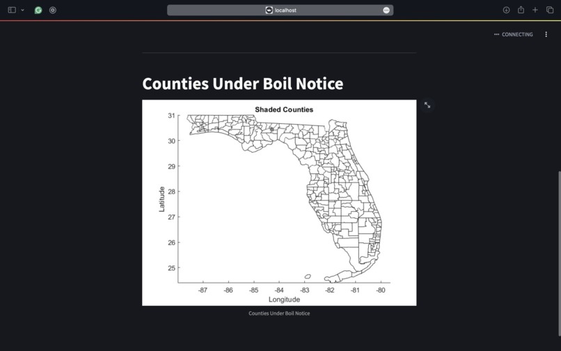
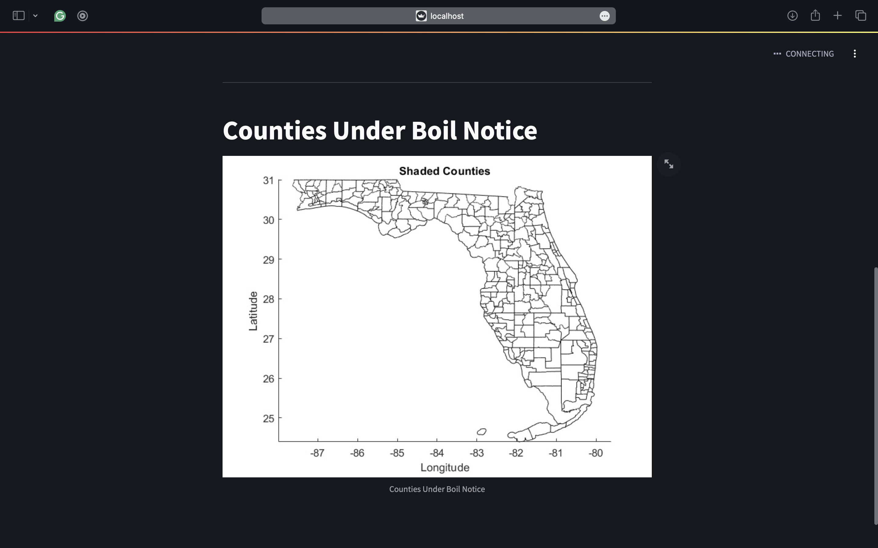
Screenshot of the Hurricane App displaying the counties under boil notice
-
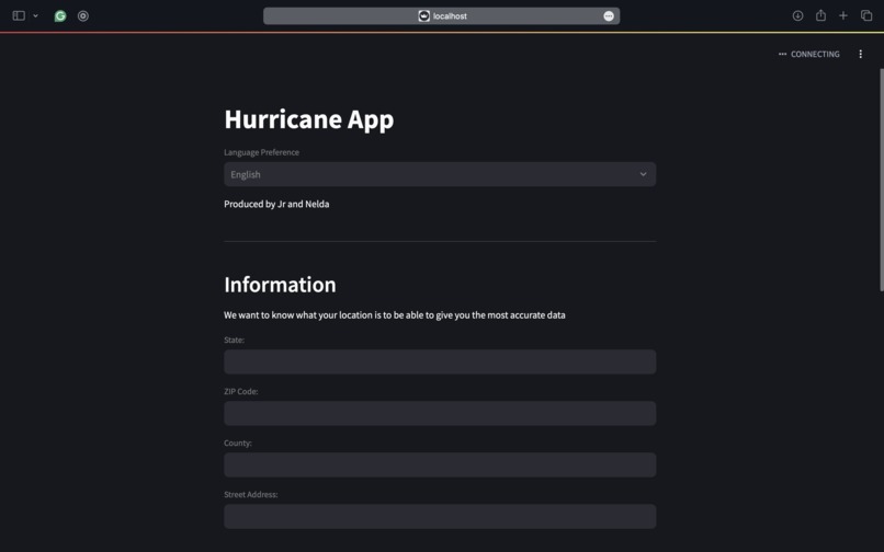
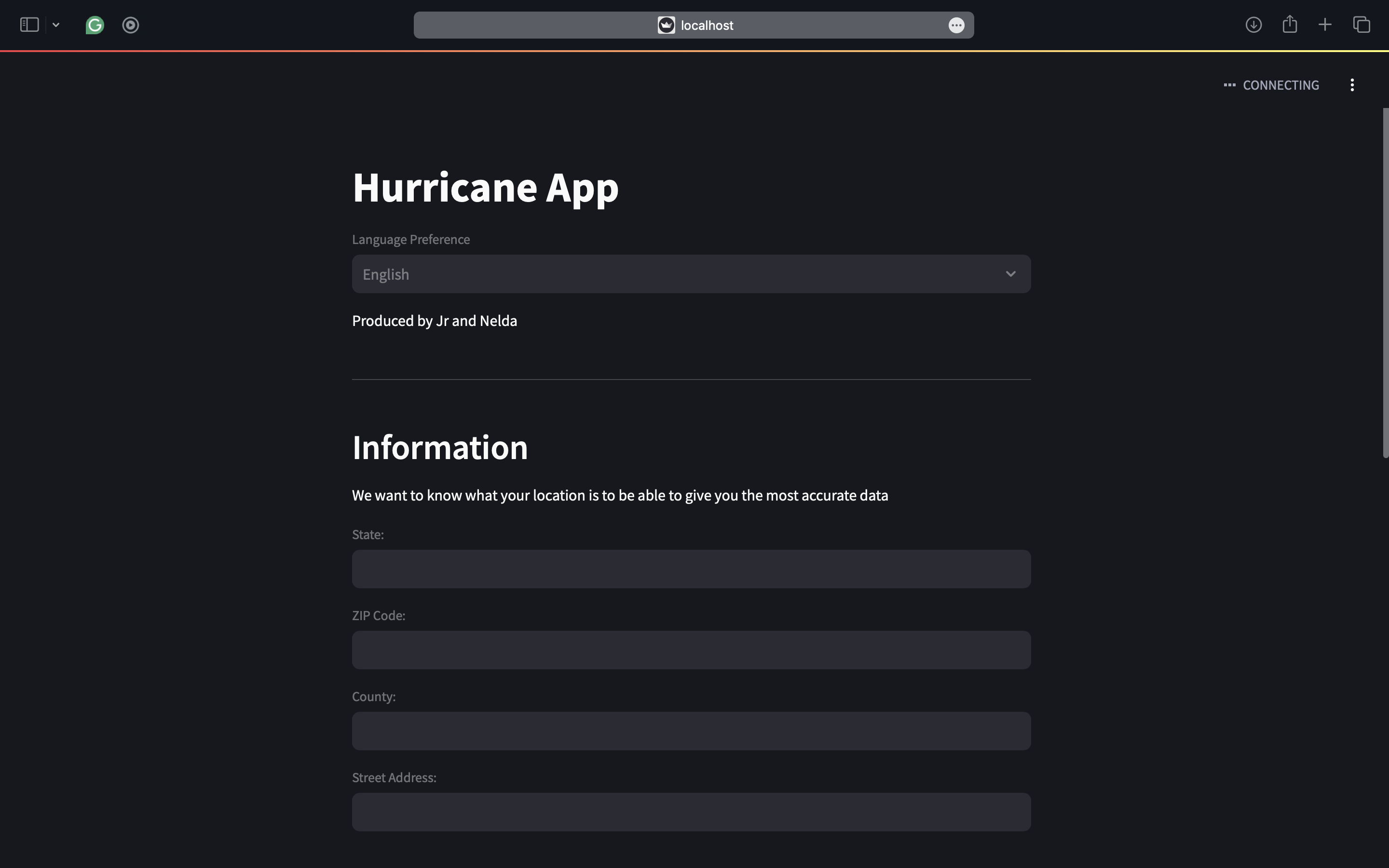
Screenshot of the Hurricane App user input of their location
Inspiration
We were motivated by the current hurricane/tropical storm season that has devasted coastal regions. We wanted to find a way to mitigate some humanitarian issues that residents of impacted areas may face.
What it does
Our app takes the user's address and tells them if they live in an area impacted by water contamination or are at risk of flooding.
How we built it
We used streamlet for the app's UI component. We used MATLAB to download and display all the county boundaries in Florida and cross-reference the counties under a water boil notice.
Challenges we ran into
Neither team member has extensive experience with Python, so we had to rely on AI to help break down the steps of implementing the program and on available documentation to use proper syntax. Additionally, given our limited experience, we were unable to successfully integrate the MATLAB component with streamlet. We also limited the implementation to just the state of Florida.
Accomplishments that we're proud of
We were proud to implement a multilingual option to display the user input form, making it accessible to a wider demographic. We're also proud to have learned the fantastic low-code functions in Matlab and the incredible versatility of Streamlit.
What we learned
We learned about the mapping toolbox in MATLAB, and we learned a lot of new Python syntax.
What's next for Streamlit Hurricane App
We are implementing data validation for the user's input of their location. We also hope to get Openweather Api to display the user's current weather and any national weather alerts for their location.

Log in or sign up for Devpost to join the conversation.