-
-
Logo of FLOODGUARD_Miami
-
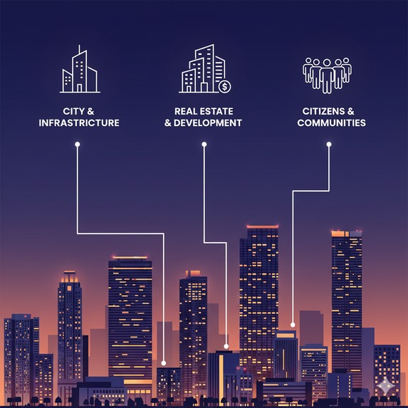
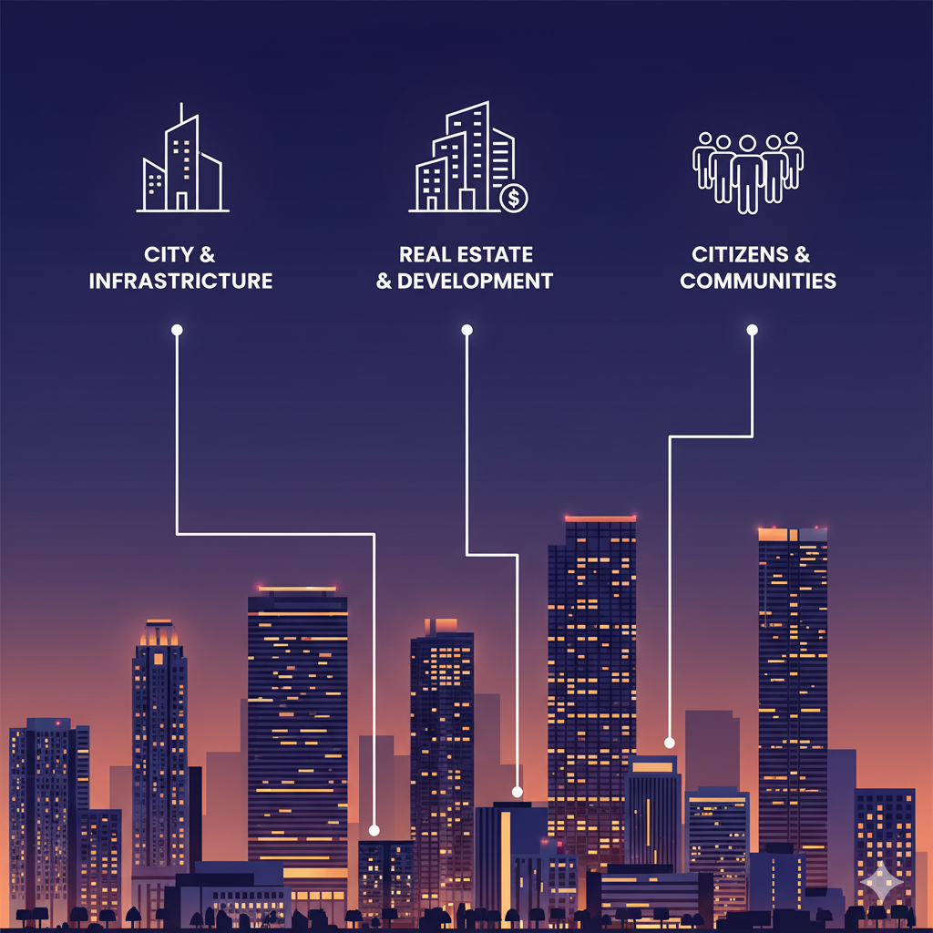
For planners
-
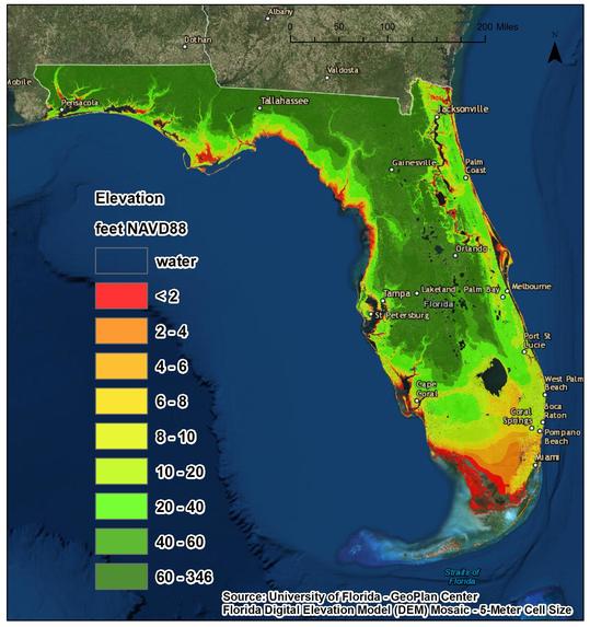
FL_topography

🌊 Inspiration
Miami is experiencing more frequent flooding — from heavy rainfall, king tides, and rising sea levels. As a civil engineer and researcher at Florida International University (FIU), I’ve seen how these events disrupt daily life, damage homes, and threaten infrastructure. Existing FEMA and NOAA maps are static and reactive; they don’t provide real-time insights or neighborhood-level predictions. That’s why I created FloodGuard Miami — a no-code, community-powered platform that helps residents and planners predict, prepare, and protect against flooding.
Its motto is Predict. Prepare. Protect Miami from the Next Flood.
💡 What it does
FloodGuard Miami is a predictive flood risk platform that visualizes and forecasts flooding up to 48 hours in advance. It combines:
Open environmental data (NOAA, USGS, local tide sensors)
AI-assisted analysis for rainfall and tide patterns
A no-code dashboard that displays real-time risk zones across Miami neighborhoods
Optional user reports (photos or observations) to crowdsource flood verification
The goal is to provide accessible flood awareness tools for residents, city planners, and emergency responders.
🛠️ How we built it
We built FloodGuard Miami entirely using no-code and open data tools:
Data Integration: NOAA & USGS data streams via Google Sheets + Make (Integromat) automation
Visualization: Figma & Canva prototypes for the dashboard interface
Mapping: Google Maps API mockups for risk visualization
Presentation: Canva for the pitch deck and Loom for the demo video This structure allowed fast iteration and clarity of concept without heavy coding.
⚙️ Challenges we ran into
Aggregating real-time data from multiple sources and aligning formats
Visualizing complex flood data in a simple way for public users
Managing data latency for tide and rainfall feeds
Balancing accuracy with speed in a tight 1-day hackathon timeframe
🏆 Accomplishments that we're proud of
Designed a complete predictive flood model prototype in under 48 hours
Created a realistic dashboard mockup tailored for Miami neighborhoods
Built strong partnerships with local academic and resilience networks (FIU and Miami-Dade)
Developed a scalable model that could extend beyond Miami to other coastal cities
📚 What we learned
No-code platforms are powerful for rapid innovation in climate resilience.
Data storytelling and visualization can be as impactful as raw analytics.
Collaboration between researchers, citizens, and local agencies is key to creating useful flood solutions.
The gap between climate data and local awareness can be bridged with accessible tech.
🚀 What's next for FloodGuard Miami
Launch a pilot program with FIU and the Miami-Dade Office of Resilience in 2026
Add AI-based predictive modeling for 72-hour flood forecasts
Develop a mobile alert system for residents and small businesses
Expand the platform to other flood-prone regions across South Florida
Partner with insurers and city planners to integrate FloodGuard data into urban resilience strategies
Built With
- apis-&-open-data:-noaa
- git/github
- local-iot-sensor-feeds
- noaa-climate-data-online
- openweather-api;-platforms-&-tools:-jupyter-notebook
- usgs
- usgs-seamless-datasets
- vs-code


Log in or sign up for Devpost to join the conversation.