Devpost
Participate in our public hackathons
Devpost for Teams
Access your company's private hackathons
Grow your developer ecosystem and promote your platform
Drive innovation, collaboration, and retention within your organization
By use case
Blog
Insights into hackathon planning and participation
Customer stories
Inspiration from peers and other industry leaders
Planning guides
Best practices for planning online and in-person hackathons
Webinars & events
Upcoming events and on-demand recordings
Help desk
Common questions and support documentation
Sort by:
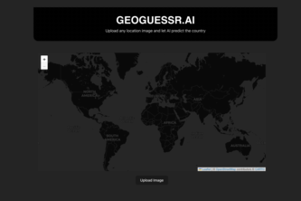
Upload any picture and geo locate the country it was taken in.
FloraTheExplorer turns the world into your very own botanical playground! Through the Harvard University Herbaria Libraries database, students and teachers can learn and discover flora worldwide.
Cool people care about coastal vegetation's biodiversity and health.
Want to learn more about different plants? Our interactive website allow you to become a botanist. Capture plants, catalog them, and learn fun facts all on one website.
Excavate Smarter, Discover More.
BangMaps is an AI agent for property risk analysis of Bangalore houses
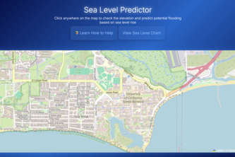
Helping predict the effects of rapid sea level rise on ocean housing.
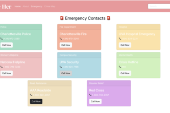
SecureHer helps people navigate cities with confidence by providing real-time crime data and emergency resources. Out goal is to empower communities with data-driven insights for safer decision-making
In today’s fast-paced world, we consume endless information—but how much do we actually retain? Memoir organizes your knowledge intelligently, making it easy to recall and use when it matters most.
Pollinators for a greener future!
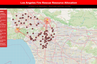
A full-built system that aims to optimize resource allocation during a fire in Los Angeles.
LA Relief: Rapid Support and Resources for Los Angeles Wildfire Recovery.
The ultimate (Australian) restroom finder.
Need to do business and don't know where? We'll point you there!
SkyNav: guiding your flight path with real-time weather!
A global app to see what's going down around campus.
"MapFit is an enhanced version of Mapty, letting you log and delete workouts on an interactive map. Track your runs and rides effortlessly with auto-calculations and local storage. Stay fit smarter!"
Jet. Quest. Conquer.
Guardian AIngel is an AI-powered safety app that detects danger and sends help automatically—making every second count.
Secure, real-time protest coordination via encrypted mesh and AI insights
The Real-Playing Game intends to get players outdoors, moving, and discovering by incentivizing them to take the path less traveled — literally.
Smart Mobility for Safer TravelCleaner CitiesSmarter CommutesEfficient RoutesSustainable MobilityEnhancing urban transport by making it safer, cleaner, and more comfortable for everyone.
Connecting Helping Hands
ElectroMap – Smart Power Monitoring & AI-driven Load Balancing for a Sustainable Future.