Devpost
Participate in our public hackathons
Devpost for Teams
Access your company's private hackathons
Grow your developer ecosystem and promote your platform
Drive innovation, collaboration, and retention within your organization
By use case
Blog
Insights into hackathon planning and participation
Customer stories
Inspiration from peers and other industry leaders
Planning guides
Best practices for planning online and in-person hackathons
Webinars & events
Upcoming events and on-demand recordings
Help desk
Common questions and support documentation
Sort by:
Unforgettable, Never forget your essentials again!
Sure you can find a map that will find you the shortest way to get some place, but how about the safest way? We sourced publicly available Tucson crime data to for flexibility in choosing routes.
No more guessing if a bus is full! Our AI-powered app tracks real-time bus occupancy, providing live updates to users and drivers. Smarter transit, reduced wait times, and better commutes!
Upload receipts to track spending and compete with friends or the community. Earn rewards by finding the best deals, saving the most, and participating in receipt-based saving challenges.
Whether you use a wheelchair, a prosthetic, have visual impairments, or prefer to avoid crowded spaces, we prioritize accessibility for you — because every disability is unique.
Maps, empowering everyone with freedom of movement and impact
Kotch is a smart parking assistant that uses computer vision, AI predictions, and real-time parking capacity updates to help drivers quickly find or reserve a parking spot.
**CampusDash** makes campus food more accessible, convenient, and affordable—whether you're too busy to grab a meal or looking for a quick side hustle! 🚀
An agentic AI app that uses OpenStreetMap data to answer queries and generate insights into geographic street networks.
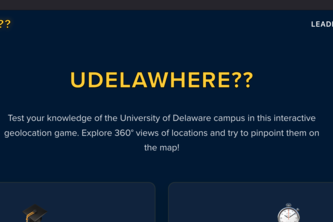
An immersive, interactive campus exploration game that helps University of Delaware students, especially freshmen, discover and learn about campus locations through engaging 360° panoramas.
Custom map directions generated by AI which is specified from user criteria.
Making navigation accessible for everyone
A platform for users to discretely notify partners about possible STD exposure and connecting users with nearby testing centers through SMS notifications, encouraging safe and informed choices.
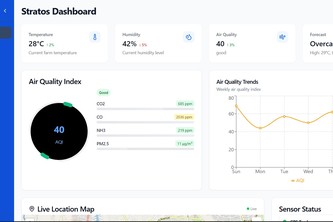
Stratos provides real-time environmental monitoring with smart IoT sensors, helping farmers, industries, and governments be sustainable, ensure compliance, and drive data-driven decisions for Rwanda.
A small virtual assistant that provides a wide range of useful accessibility features, specifically information about the weather, and we intended to add speech-to-text and a screen reader.
Cool people care about coastal vegetation's biodiversity and health.
Imagine a tool that reveals your store’s visibility with clarity. Voir analyzes customer interactions, trends, and competitors to boost impact. See beyond numbers and maximize your store’s potential!
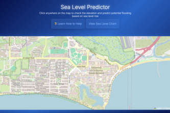
Helping predict the effects of rapid sea level rise on ocean housing.
Lost everything? Need to rebuild? Need paperwork for assistance forms? Create Tapestry Credentials using Forensic AI from your digital trails to reconstruct your life and get the support you need.
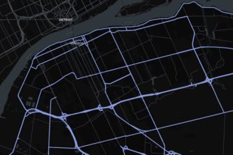
Ever found yourself stuck on the 401? I have! On my way to see Billie Eilish. Jamming to music in my friend’s dad’s car, and mindlessly following Google Maps to a standstill. Well not anymore!
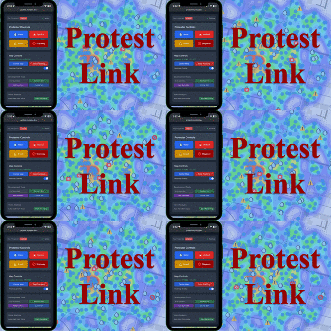
Secure, real-time protest coordination via encrypted mesh and AI insights
Spot Hazards, Save Lives: Just lmk
This website helps young adults who have just gained independence and international students who are new to the country or city, through things like food guides, finances and social spaces.
Mobilyfe merges calendars into one and suggests locations based on user preferences. It provides descriptions, ratings, and top menu items for each searched spot, making planning easier.