Devpost
Participate in our public hackathons
Devpost for Teams
Access your company's private hackathons
Grow your developer ecosystem and promote your platform
Drive innovation, collaboration, and retention within your organization
By use case
Blog
Insights into hackathon planning and participation
Customer stories
Inspiration from peers and other industry leaders
Planning guides
Best practices for planning online and in-person hackathons
Webinars & events
Upcoming events and on-demand recordings
Help desk
Common questions and support documentation
Sort by:
AI-powered detection to track stray dogs and create safer, smarter communities.
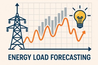
Smarter forecasts. Greener buildings. Reduced fossil reliance.
TSFM-powered, few-shot building load forecasts with calibrated anomaly triage and ₹/CO₂ impact scores—optimized for Indian climate, tariffs, and calendars.
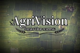
AgriVision maps smallholder crops using Sentinel-2 & ML, enabling smarter planning, disaster response, and food security for millions of farmers in fragmented Indian fields.
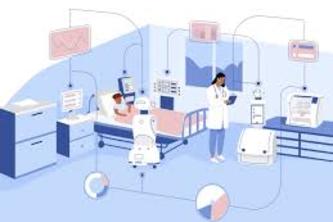
predicts patient outcomes 📊, finds similar past cases 🧬, generates AI-driven recommendations 💡, and provides hospital-wide insights 📊 for smarter, faster healthcare decisions.
AI-powered system using Time Series Foundation Models (TSFMs) for forecasting and anomaly detection in building energy consumption.
Embracing Touchless Technology
Evolving smarter traffic solutions, one generation at a time.
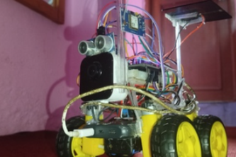
NATERIDA — The AI-powered exploration robot that thinks, adapts, and protects while gathering smart data across farms, forests, space, and disaster zones — no risks, just intelligence.
BloomIQ
EcoNet: Turning Waste into Worth, Dignity into Pay.
Lets-build😁
Forecast Today, Decarbonize Tomorrow.
Trained ML model
A Machine Learning Model predicts your anxiety from contextual and historical data, then delivers personalized, actionable tips in real time—private support to manage stress before it escalates.
Cultivating smarter soil for a greener tomorrow.
In this Project, i used computer vision on parking lot images to track store traffic and forecast revenue—turning cars into real-time financial insights for businesses, investors, and planners.
Field-level crop identification in Northern India using multi-source satellite data and machine learning to support accurate agricultural monitoring and decision-making.
AI based crop identification for Indian farms
"AI-powered satellite crop maps for India’s small farms." "Bringing space-tech to the fields: real-time crop identification for food security." "From sky to soil"