Devpost
Participate in our public hackathons
Devpost for Teams
Access your company's private hackathons
Grow your developer ecosystem and promote your platform
Drive innovation, collaboration, and retention within your organization
By use case
Blog
Insights into hackathon planning and participation
Customer stories
Inspiration from peers and other industry leaders
Planning guides
Best practices for planning online and in-person hackathons
Webinars & events
Upcoming events and on-demand recordings
Help desk
Common questions and support documentation
Sort by:
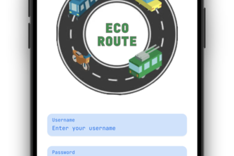
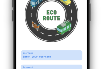
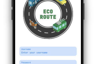
EcoRoute is a navigation app that prioritizes the environment and takes into account transport modes (cars, bikes, public transit, rideshare) to recommend the vehicle with the least carbon emissions.
Zoning code is the wall between homeowners & what they can build. MKE.dev breaks it with 7 Gemini 3 models — 22-tool agent + zoning-constrained Pro Image generation + 5 RAG stores over 42 city docs.
Tidalense makes the invisible safety of water visible, instant, and actionable! It’s your global Tidal Sense for the world around you, and a personal Tidal Lens for the water right in front of you.
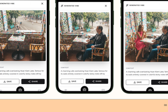
From ‘Where should we go?’ to ‘This is us there’: SQUADVIBE previews your squad, outfits and real location
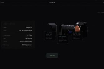
a playground for photographers to visualize their shots.
QWERMaps provides LGBTQ+ communities throughout the nation an interactive way to educate and inform key moments from the past and present. The importance is to educate generations to come.
Empowering communities to fix their cities faster through smart voice reporting and live updates.
City Planning Made Easy
Analyzes inputted ILI data, cleans it, and presents it in a clean, graphical user interface
EcoRoute is a navigation app that prioritizes the environment and takes into account transport modes (cars, bikes, public transit, rideshare) to recommend the vehicle with the least carbon emissions
TML, where Digital ID Powers Public Trust.
AI-Powered Civic Transparency Using Elasticsearch Agent Builder
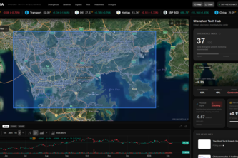
Ground truth intelligence powered by Google Earth Engine (VIIRS satellite imagery) and Gemini (news sentiment). See the divergence between physical reality and market narrative before markets react.
Ecolens-AI is perfectly aligned with environmental impact
Location-aware environmental intelligence app hat tells users air quality, pollution and Heat risk
Verdant gives Canadian city agencies an roadmap for climate resilience. We turn raw urban data into friendly AI-integrated maps, helping B2B partners plan green spaces that lower the climate impact.
Your AI companion for a more sustainable future. Track habits, learn through play, and visualize your real-world impact.
Silver Lining — Turning community care into a safety net when it matters most.
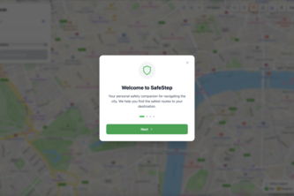
Transform raw safety data into actionable routes. See which paths protect you most, powered by real crime statistics, verified reviews, and predictive mapping.
Small businesses struggle to attract nearby foot traffic. Cities struggle to motivate people to walk, explore, and engage locally. Introducing Wandr, a game that turns city exploration into rewards.
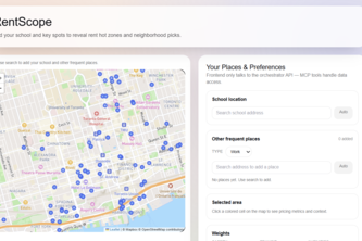
RentScope helps students pick neighbourhoods by mapping rent, commute, safety signals, and amenities into a heatmap with ranked, explainable recommendations.
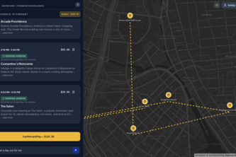
You know that feeling when you wanna watch a movie, but have no clue what to watch, so after 40 mins of searching, you're tired, bored, and pissed off? Now replace movies with traveling. We fix that!
Nomadic dating and community app focused on the journeys people take based on their crossed paths. With a focus suitability of nomadic styles, this is the app I want as a vanlifer myself.