Devpost
Participate in our public hackathons
Devpost for Teams
Access your company's private hackathons
Grow your developer ecosystem and promote your platform
Drive innovation, collaboration, and retention within your organization
By use case
Blog
Insights into hackathon planning and participation
Customer stories
Inspiration from peers and other industry leaders
Planning guides
Best practices for planning online and in-person hackathons
Webinars & events
Upcoming events and on-demand recordings
Help desk
Common questions and support documentation
Sort by:
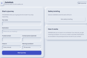
SafeWalk is a personal safety app that helps users travel safely with location sharing and emergency alerts.
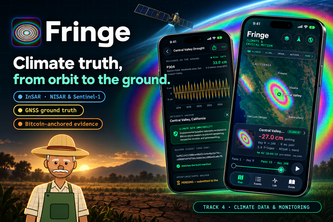
Fringe decodes satellite radar (InSAR) and GPS to track drought aquifer collapse and coastal sinking, anchoring verifiable climate geodesy to Bitcoin block headers.
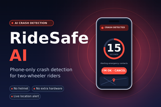
Phone-only crash detection for two-wheeler riders. Detects a crash using motion sensors, starts a 15-second countdown, and sends live location to emergency contacts. No helmet or extra hardware needed
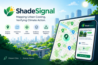
ShadeSignal: Mapping Urban Cooling, Verifying Climate Action.
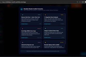
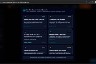
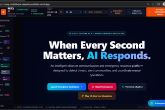
RESQ AI uses AI, real-time alerts, and smart evacuation planning to improve disaster response, coordinate emergency resources, and help save lives.
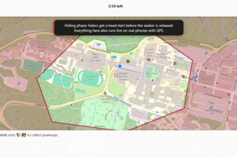
Automated manhunt throughout the sfu campus with closing borders and powerups.
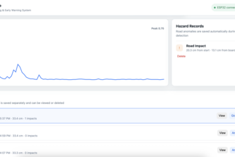
An ESP32-based road hazard detection and early-warning system that maps potholes, stores route data in SpacetimeDB, and uses Claude AI to assess route risk.
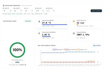
AEGIS: Smart monitoring for safer vaccine delivery — tracking temperature, light, shock, pressure, and location in real time to protect every dose from storage to destination.
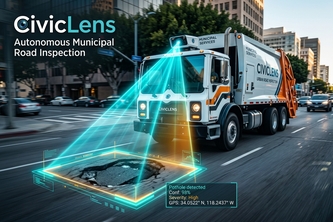
Every garbage truck is a pothole inspector
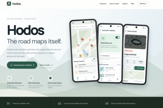
Hodos turns every phone travelling your street into a road-condition sensor. Drive once and it maps the potholes, speed bumps and rough patches. Nobody files a report.
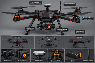
AI rescue drones detect victims using thermal imaging and GPS, coordinate ambulance dispatch, and connect patients with suitable hospitals for faster emergency response.
MPLADS Sentinel uses AI to detect unusual costs, delays, and irregularities,trackconstruction materials and bills, and support offline reporting and satelliteassisted verificationwith
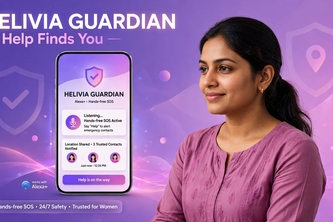
Alexa+ hands-free women's safety - Say "Alexa, emergency" for 10m SOS video proof, auto-call & GPS alert
Never Miss What Matters
Aero1Track3D turns a single drone flight into an interactive, georeferenced 3D model you can measure and question in plain language, with a built-in “Trust 3D” score that shows how believe the result.
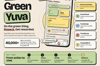
Empowering Youth. Decarbonizing Campuses. One Action at a Time.
"Ride smart,stay safe"
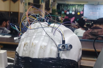
An accessibility-first community-driven navigation app that shows hazards such as potholes, missing ramp, etc. and tells users when to turn through vibration and sound.
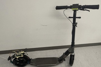
Turn any kick scooter into a street sensor: map potholes, bad air and litter with every ride, verified by the community to help make city official's lives much easier.
SafeMeter: A smart speedometer using sensor fusion to detect vehicle crashes and dispatch instant location alerts in the Golden Hour.
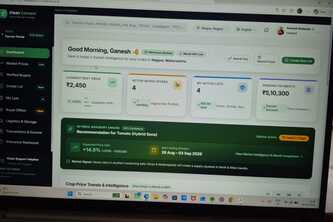
It helps to farmer to find a specific mandi near by the farmer location