Inspiration
AmIInSheffield, Google Earth, GPS
What it does
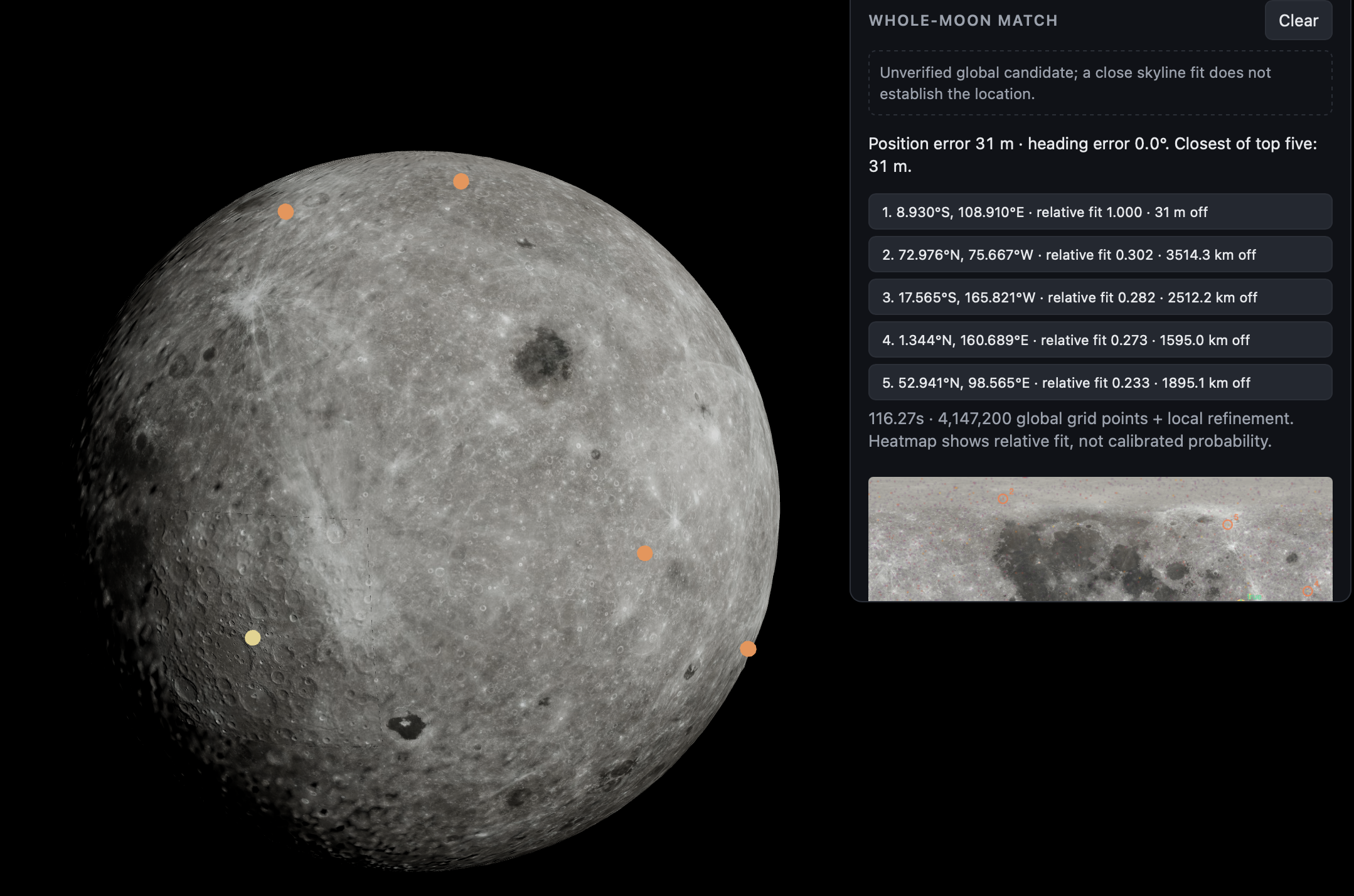
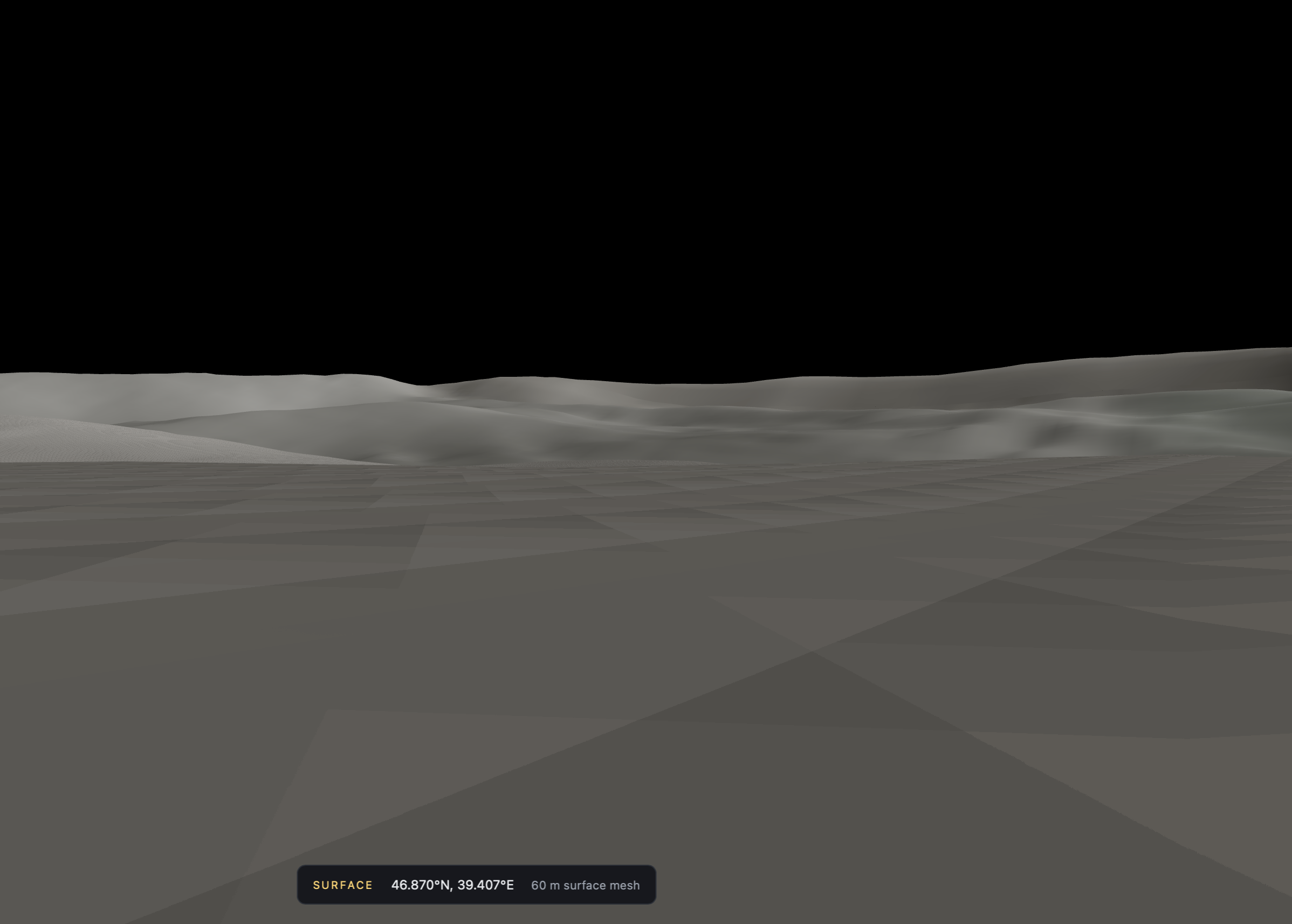
Finds your location on the moon based on a simulated photo from the surface. Creates a route between 2 points on the moon avoiding shadows and steep terrain.
How we built it
Claude, ChatGPT, Copilot, Gemini Uses real nasa data, 59m accuracy laser scans, Python and React
Challenges we ran into
Very large file size for the data meant it took a while to download and process.
Accomplishments that we're proud of
Accuracy of location down to >20m in some locations Ability to navigate between 2 points (one known, one unknown) whilst avoiding craters and steep slopes
What we learned
Rendering the moon is expensive The sooner we can get GPS on the moon the better
What's next for Lunar-tic
Expand to Mars (and other planets in the solar system) Adapt to earth for explorers with no access to GPS or maps


