Devpost
Participate in our public hackathons
Devpost for Teams
Access your company's private hackathons
Grow your developer ecosystem and promote your platform
Drive innovation, collaboration, and retention within your organization
By use case
Blog
Insights into hackathon planning and participation
Customer stories
Inspiration from peers and other industry leaders
Planning guides
Best practices for planning online and in-person hackathons
Webinars & events
Upcoming events and on-demand recordings
Help desk
Common questions and support documentation
Sort by:
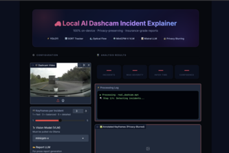
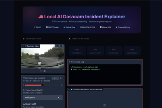
Offline AI that detects dashcam collisions with YOLO, narrates scenes via local VLMs, blurs faces/plates for privacy, and exports insurance-ready PDF reports — no cloud needed.
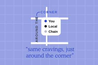
Same cravings, just around the corner!
It's just another day; things go by like normal until you injure yourself. The doctor says you've got 6 weeks until you recover, but what if we can speed that up-introducing ready-to-play.
Tired of missing out on free food and merch as a broke college student? Yes. That's what we thought. So we decided to take things into our own hands. Behold, our app: ZOTPOP.
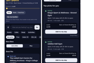
Find study spots that actually fit your needs: free Wi-Fi, outlets, study vibes. Discover new spots, track study hours with friends, and get tailored suggestions for your study needs!
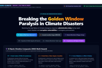
Autonomous AI C2 & Polygon Notary for UN-EW4All: detecting remote blind thermal anomalies beyond official registries and reconciling orbital telemetry for anticipatory early action.
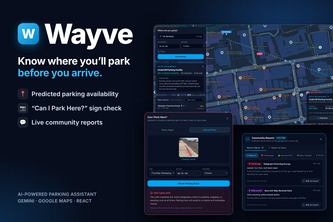
Wayve is an AI-powered parking assistant that predicts parking availability, finds personalized spots, analyzes parking restrictions through image recognition, and improves accuracy with user reports.
placeholder text
When a night out becomes a crisis and you can't ask for help, YTC notices. Our proprietary classifier model (98.24% Acc) alerts friends, and a semantic vector-RAG voice agent briefs responders.
Ding is designed by women, for women, to be the best safe route planner. Getting you from location A to location B
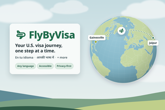
FlyByVisa is an accessible, multilingual, privacy-first planner that takes users through the visa process one step at a time. Whether you are traveling for work or pleasure, FlyByVisa maps it out.
A map that gives you the best experience on a walk / run, in a time decided by you.
Ordis shows what's being built on your street: AI agents read Toronto's development applications and Blender builds them in 3D, with sun loss, rental impacts and who to contact.
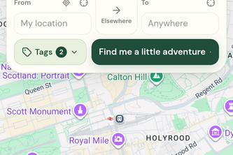
Less scrolling. More adventures. More SideQuests.
Discover nearby restaurants, find affordable food deals, and help reduce food waste with a smart restaurant map connecting customers and merchants.
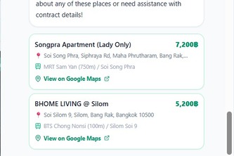
Bangkok accommodation finder & lease compliance auditor powered by Google Gemini 3.5 Flash across all 50 districts.
Where events and livelihoods meet
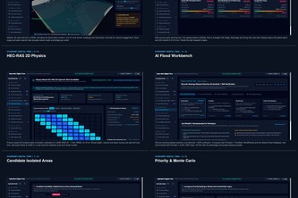
An AI-powered platform that detects floods using satellite imagery, forecasts risks, maps affected communities, and visualizes real-world flood impacts through interactive 3D maps and early warnings.
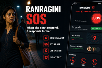
RANRAGINI SOS: When the warrior can’t fight, her phone does. Shake it, a siren sounds, and if she can’t respond, her live location reaches her trusted contacts.
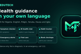
MEDUTECH helps you check your symptoms, find possible causes, cure, ask health questions with different local languages support. MEDUTECH is an AI powered health guide with emergency warning built in.
Fly like the flash
Group chats are often messy, especially around planning. Questline takes our messy messages and turns them into a main quest, with side quests on the way for what the chat mentioned.
A talking help station that finds free city resources in Houston: pick a language, ask out loud, and hear the nearest free food, shelter or clinic that’s open now.