-
-
-
To Protect the peoples for Flood
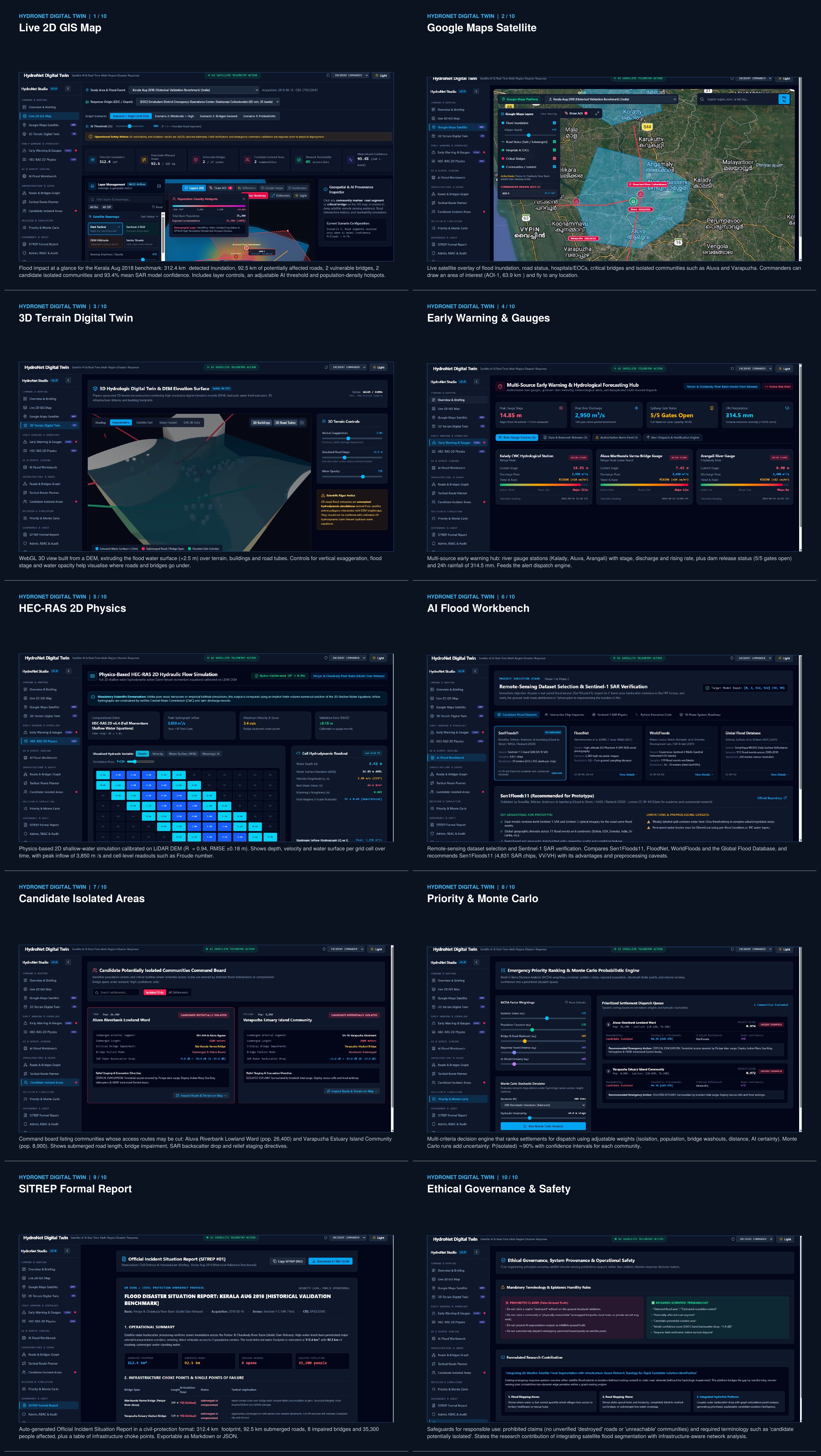
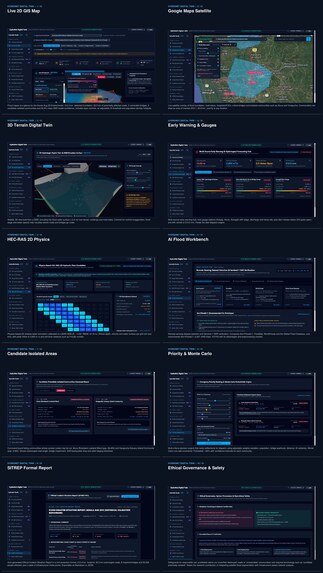
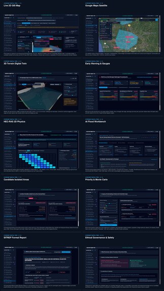
Inspiration Floods can cause devastating damage to communities, homes, roads, bridges, and essential services. One of the biggest challenges during a flood is identifying affected areas quickly and understanding which communities may become isolated. We were inspired to build HydroNet, an AI-powered platform that combines satellite imagery, real-world maps, and 3D flood visualization to help people understand flood risks and support faster emergency response. Our vision is to create a system that can monitor different regions, detect potential flooding, assess its impact on society, and provide useful information for disaster management. What We Built HydroNet is designed as an integrated flood monitoring and impact assessment platform featuring:
- AI-powered flood detection: Uses satellite imagery, including Sentinel-1 SAR and Sentinel-2 optical data, to identify potential flood-affected areas.
- Real-world map integration: Uses Google Maps to explore locations, roads, rivers, and surrounding infrastructure.
- 3D digital twin: Uses CesiumJS to visualize real terrain and geographic features in an interactive 3D environment.
- Flood simulation: Integrates HEC-RAS 2D simulation outputs to visualize water depth, flow velocity, and changing inundation over time when suitable hydraulic data is available.
- Infrastructure impact analysis: Identifies potentially affected roads, bridges, buildings, and critical facilities.
- Community connectivity analysis: Helps identify potentially isolated communities and assess alternative routes for emergency services.
- Risk monitoring and alerts: Aims to communicate flood risks using satellite observations, weather information, river data, and available official warnings. How We Built It We designed HydroNet around a modular architecture that combines artificial intelligence, geospatial processing, hydraulic modelling, and interactive visualization. Satellite imagery provides the foundation for flood detection. Geospatial tools process terrain, flood boundaries, and infrastructure data. AI models help identify possible inundation, while HEC-RAS 2D can generate physics-based flood simulation results for study areas with suitable terrain and hydraulic inputs. CesiumJS then visualizes available geographic and simulation data in 3D, while Google Maps provides a familiar interface for exploring affected locations. Our planned technology stack includes React and TypeScript for the frontend, Python and FastAPI for backend services, PostgreSQL with PostGIS for spatial data, PyTorch for AI-based flood segmentation, and GDAL, Rasterio, GeoPandas, and Shapely for geospatial processing. Challenges We Faced One major challenge is obtaining reliable and up-to-date satellite imagery, terrain data, rainfall measurements, and river-flow information from different sources. Another is distinguishing actual floodwater from permanent water bodies and other features in satellite images. We also recognized that detecting a flood and predicting how water will move are different problems. AI can help detect inundation, but realistic water-depth and flow predictions require appropriate hydraulic modelling, terrain information, and boundary conditions. Integrating these outputs with real-world maps while maintaining consistent coordinates and trustworthy results is another important challenge. What We Learned Through HydroNet, we explored how AI, satellite remote sensing, GIS, hydraulic modelling, and 3D visualization can work together to address a real-world disaster management problem. We learned the importance of validating model outputs against observed flood extents, communicating uncertainty, and distinguishing detected events from predicted risks. We also learned that an effective disaster management system needs more than a visually impressive map: it needs reliable data, transparent analysis, and actionable information. Future Scope Our goal is to expand HydroNet into a multi-region flood monitoring platform capable of processing newly available satellite observations, incorporating weather forecasts and river measurements, estimating potential societal impacts, and supporting early-warning workflows. We aim to validate the system against documented historical flood events before relying on it for operational forecasting. HydroNet's mission is simple: turn complex flood data into clear, actionable insights that help communities prepare for floods and respond more effectively.
Built With
- artificial
- cesiumjs
- fastapi
- gis
- google-maps
- hec-ras
- postgis
- postgresql
- python
- pytorch
- react
- sentinel-1
- sentinel-2
- typescript
- u-net

Log in or sign up for Devpost to join the conversation.