Devpost
Participate in our public hackathons
Devpost for Teams
Access your company's private hackathons
Grow your developer ecosystem and promote your platform
Drive innovation, collaboration, and retention within your organization
By use case
Blog
Insights into hackathon planning and participation
Customer stories
Inspiration from peers and other industry leaders
Planning guides
Best practices for planning online and in-person hackathons
Webinars & events
Upcoming events and on-demand recordings
Help desk
Common questions and support documentation
Sort by:
Food on campus, rated by students, for students, with Google Gemini Integration.
The journey planner which makes a map into a canvas, adding a fun spin on hiking, jogging, and beyond.
We're MapleLine, a map-based platform that helps people local fashion near them. Instead of defaulting to fast fashion, users can explore real options that match their values and budget in one place !
Navigate cities with safety in mind
BusinessRadar: AI scans Tashkent via OpenStreetMap & BigData to find 100% profit spots 🎯 Real-time stats on rivals & traffic 📊 Stop guessing, use AI to dominate the city! 🚀💸
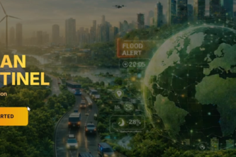
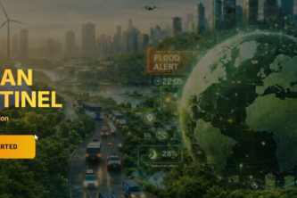
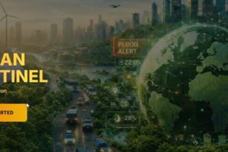
Urban Sentinel — An AI-powered digital guardian for sustainable, safer cities.
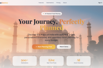
An AI-powered travel planner that gives real costs, honest local insights, and a perfect trip—based on your budget
Urban Sentinel - An AI-powered digital guardian for sustainable, safer cities.
“Urban Sentinel: Real-time intelligence for resilient cities.”
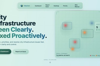
City Care — Issues Detected. Solutions Delivered.
“AI-Powered Decisions for Living Cities.”, "The National Control Room for Urban Intelligence", “Urban Intelligence. Activated.”
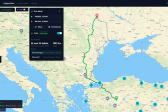
RescueRoute AI helps emergency responders find safer routes during disasters by factoring in road risk, flooding, and uncertainty, going beyond traditional navigation to save time and lives.
Tracko is a real-time college bus tracking web app that lets students see live bus locations, ETAs, and routes, while admins manage buses and drivers using secure GPS and QR-based tracking.
BilGiz delivers the right information at the right time.
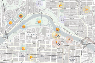
Vibe Check your city, discover spaces that match your energy.
Know what to do,. Know where to go
FogBound is a mobile map where the city starts hidden. As you move around, fog clears to show where you’ve been, and nearby landmarks only reveal themselves once you explore the area around them.
Community Compass connects people in need with local resources, food banks, mental health support, plasma centers, and social spaces, all in one map-based app. Find help near you, instantly.
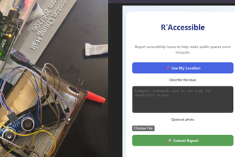
R'Accessible is a mobile-friendly web application to report accessibility issues in public spaces. R'Cane is a smart mobility aid designed to enhance spatial awareness for those visually impaired.
Emergency Resource Locator helps users quickly find nearby hospitals, shelters, pharmacies, and emergency services during crises, showing distance, hours, and availability on an interactive map.
OffTrails is an off-trail path finding program that combines USGS elevation, vegetation, and water data via an AI-optimized algorithm to maximizes safety, efficiency, and speed in wilderness travel.
VRNV is the AI nervous system for urban energy.
CivicLens transforms civic complaints into transparent, trackable public action through a unified digital governance platform.
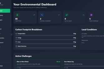
"Learn, act, and track your impact, all by using AI"