-

Pothole-Watch transforms road maintenance from reactive to data-driven using AI.
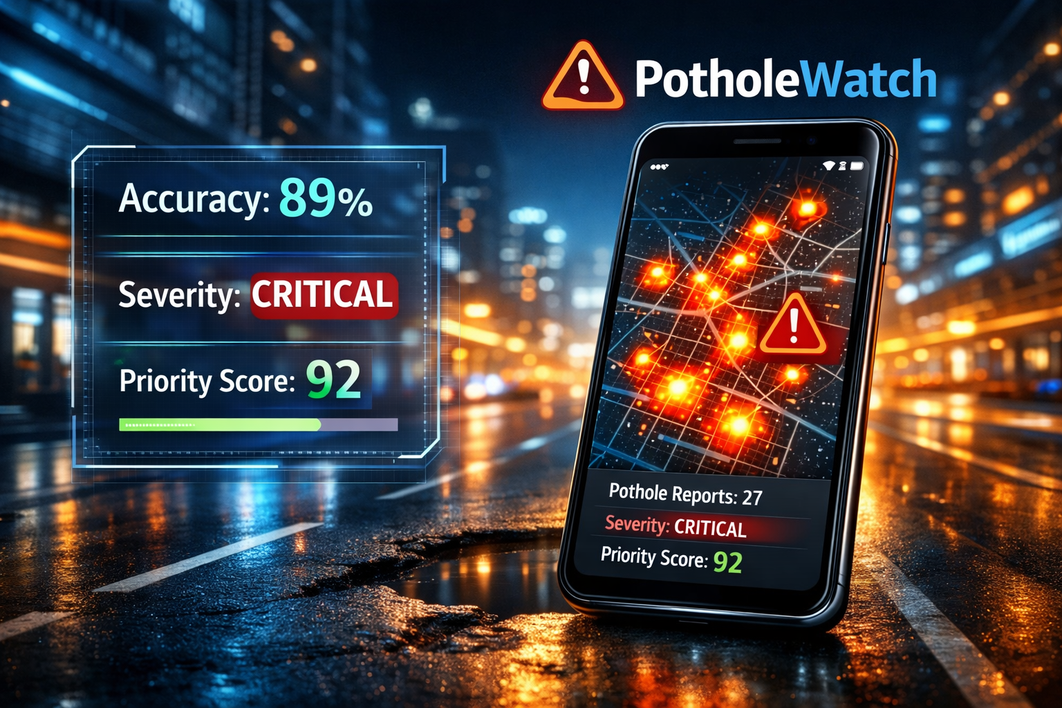
It was during a particularly rainy week in 2025 that the idea for Pothole-Watch was born. We noticed that while India faces an annual damage cost of ₹25,000 Cr due to poor road conditions, the average time to report a single pothole was a staggering 6 minutes—and that's if a citizen even bothered to navigate the complex manual forms at all. We saw a gap where 90% of potholes were going unreported because authorities had no centralized map or priority data to act on. Driven by SDG 11: Sustainable Cities and Communities, our team set out to build a solution that turned every smartphone into a tool for urban safety. We developed an AI-powered pipeline using MobileNetV2 and scikit-learn to ensure that a 6-minute headache became a 30-second snap. Our Development Journey The Problem We Tackled: We realized roads were failing because manual reporting was too slow and authorities lacked a way to prioritize repairs, leading to delays of up to 90 days. The Technical Breakthrough: We engineered a system where a single photo is compressed to 224 x 224 px and run through a severity classifier and size estimator. This allows us to predict depth and area with high accuracy (±2.1 cm for depth).The Triage System: We created a Priority Score (0–100) formula that combines severity, area, and depth so city authorities can finally fix the worst roads first. Community Impact: To keep people engaged, we integrated a gamification system where "Spotters" and "Rangers" earn XP for every report filed, turning civic duty into a shared mission. Today, our app provides a live heatmap for authorities to see road density issues at a glance, ensuring that every pothole reported is a step toward a safer, more sustainable city.
Built With
- 1.3.2
- 1.9
- 3.0.0
- 3.9+
- api
- browser
- css3
- dataset
- es6+
- flask
- github
- gps
- heatmap.js
- html5
- javascript
- joblib
- kaggle
- leaflet.js
- mobilenetv2
- numpy
- opencv
- openstreetmap
- osm
- pillow
- pothole
- potholewatch
- python
- scikit-learn
- vs

Log in or sign up for Devpost to join the conversation.