Devpost
Participate in our public hackathons
Devpost for Teams
Access your company's private hackathons
Grow your developer ecosystem and promote your platform
Drive innovation, collaboration, and retention within your organization
By use case
Blog
Insights into hackathon planning and participation
Customer stories
Inspiration from peers and other industry leaders
Planning guides
Best practices for planning online and in-person hackathons
Webinars & events
Upcoming events and on-demand recordings
Help desk
Common questions and support documentation
Sort by:
Plan optimized multi-stop routes to save time, gas, and boost efficiency. Perfect for travelers, delivery drivers, and solving real-world Traveling Salesman Problems using Google Maps integration.
We aim to hit two birds with one stone - to provide homeless people with the ability to take care of their hygiene, and to reduce the wastage of toiletries at hotels.
PathSafe, a revolutionary mobile experience that values your safety above all. It will avoid danger zones by rerouting you based on real-time alerts and public crime data.
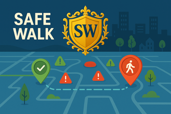
Worried about walking alone at night? Traditional maps ignore safety. SafeWalk shows real-time crime data to guide you on the safest route home—because getting there safe matters most.
By 2080, staying green needs guidance, gives you money and most importantly have fun!!!!
Sistema de apoyo para la detección y atención de emergencias propias del 911 con la integración de Tecnologías como Inteligencia Artificial, servicios en la nube y procesamiento de datos.
"Refuel. Relax. We’re on the way."
A mapping app that prioritizes carbon emission over the speed of trip.
Trailblazer is Strava for travel, an AI-powered scavenger hunt that turns trips into adventures. Discover hidden gems, complete challenges, track journeys, and capture memories along the way!
Imagine being able to instantly plan a high speed rail route between two locations with instant insight into projections.
Trace is a running app that lets you control your own path. Draw a route on a map and generate a walkable path with real streets. Run your creation, save your art, and explore in a whole new way!
Making navigation accessible for everyone
Personal safety is always a top priority, and with RoutesITrust, you can become more aware of crime in your area and choose the safest option for your next walk, run, or hike.
Have you ever wanted to run a marathon? It all starts with a step, and comes with habit. Our app is a gamified approach to running - easing the difficulty in taking that initial step and committing.
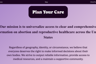
Our mission is to universalize access to clear and comprehensive information on abortion and reproductive healthcare across the United States.
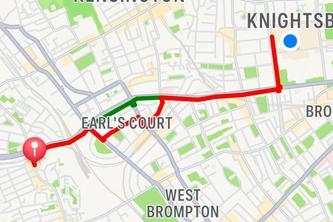
Whilst living in London, we have all felt unsafe at some point. SafeRoute is the first crime-data driven pathfinder to combat this by mitigating against danger.
Seeing the unseen. An app that will help people with visual disabilities to be guided in their environment.
Have you ever been frustrated by Maps failing to correctly estimate your transit time? Do you often reach destination much before the proposed time? Rest assured, GMOS is a Google Maps adapted to you.
Finding Free Spaces, Effortlessly
Connecting trained responders with emergency situations in real-time
Yes
In this solo project I'm focusing on mental health and its awareness.
SafeRoute is a web application that transforms urban navigation by prioritizing personal safety through advanced geospatial technology and Google Maps Platform Photorealistic 3D Maps.
Being able to explore a destination even before flights are booked, just got REAL! with Google's Photorealistic 3D maps. Fly into your destination and explore at your leisure, with stunning visuals!