Devpost
Participate in our public hackathons
Devpost for Teams
Access your company's private hackathons
Grow your developer ecosystem and promote your platform
Drive innovation, collaboration, and retention within your organization
By use case
Blog
Insights into hackathon planning and participation
Customer stories
Inspiration from peers and other industry leaders
Planning guides
Best practices for planning online and in-person hackathons
Webinars & events
Upcoming events and on-demand recordings
Help desk
Common questions and support documentation
Sort by:
VECTOR turns chaos into action: AI analyzes disaster images, cross-verifies 11+ data sources, and gives rescue commanders real-time intelligence to save lives when every minute counts."
HeatShield AI predicts neighborhood-level heat risk, estimates potential ER pressure, simulates intervention impact, and generates a city response playbook.
Report road infrastructure issue
Explore the world without leaving your screen.
AI-powered predictive maintenance and autonomous load-balancing for the EV grid.
An AI-powered waste collection optimization platform that combines intelligent route planning, real-time geo verified monitoring, and scalable hybrid infrastructure in urban sanitation management
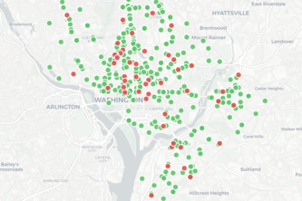
EquityMap is an AI geospatial tool helping D.C. residents find food and healthcare. It combats "Benefit Deserts" caused by 2026 SNAP requirements by simplifying access to vital resources.
1 in 5 face 'sensory minefields' that force social exclusion. Sensus Revelio uses Arduino and Google APIs to dismantle these barriers, ensuring neuro-inclusive, equitable access for every mind.
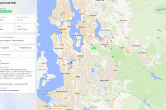
StreamMaps is a map based web app that estimates how much upstream habitat each river/stream barrier blocks.
Zonary unlocks institutional-grade planning intelligence for SMEs, helping them identify residential growth areas before prices move.
EV charger maintenance software to reduce downtime to 0 and reach 100% uptime through proactively fixing charging bays showing signs of problems.
An interactive location-based web app that showcases light pollution over time, displays levels globally with optimal stargazing spots, and explores the impacts of artificial light on the environment.
ALAVIA AI: your voice-powered health partner turning everyday symptoms into early prevention.
Every hydrology dataset. One map. Full analysis.
Arrive on time, every time
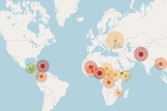
A geo-analytics platform that reveals where food insecurity is driving health system strain and misaligned funding, enabling better healthcare responses.
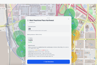
Lot360 maps nearby parking spots, surface lots, garages, and street parking, while estimating safety risks in a heatmap display to access parking with convenience and safety using CV and ML models.
PreventIQ: The Continuous Data-driven Health Intelligence Platform
BusinessRadar: AI scans Tashkent via OpenStreetMap & BigData to find 100% profit spots 🎯 Real-time stats on rivals & traffic 📊 Stop guessing, use AI to dominate the city! 🚀💸