Devpost
Participate in our public hackathons
Devpost for Teams
Access your company's private hackathons
Grow your developer ecosystem and promote your platform
Drive innovation, collaboration, and retention within your organization
By use case
Blog
Insights into hackathon planning and participation
Customer stories
Inspiration from peers and other industry leaders
Planning guides
Best practices for planning online and in-person hackathons
Webinars & events
Upcoming events and on-demand recordings
Help desk
Common questions and support documentation
Sort by:
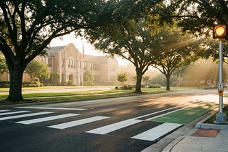
Audit school-zone walk and bike routes using OpenStreetMap, TxDOT traffic and crash records, and High-Injury Network tiers in English and Spanish.
Moving to a city you’ve never seen? Common Ground uses local data on safety, nightlife, transport and more to find your ideal neighbourhood—then connects you to real rentals on Zillow and beyond.
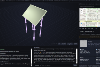
Pick a place on a map: AI agents pull live public data (terrain, OSM buildings, solar, wind, snow) and design real FreeCAD parts built for that exact spot.
AI maps flood damage and cut-off villages from free satellite data; anyone can re-run it to verify, and a smart contract pays relief only once the report is confirmed on-chain.
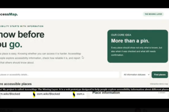
A web prototype that helps people explore accessibility information about places, identify details that need verification, and report possible barriers.
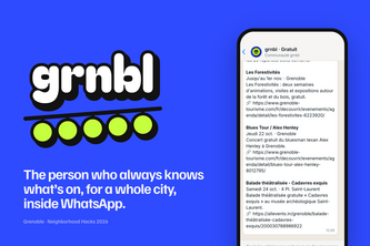
The friend who always knows what's on in Grenoble, in WhatsApp: free outings, shows and the cheapest fuel from 40+ local sources, posted while you can still book.
Before you sign the lease: a design brief for your café's crowd, where every song, colour and place is a real Qloo result you can check.
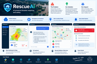
RescueAI: Predicting risks, guiding communities, and empowering faster, smarter decisions during disasters through AI.
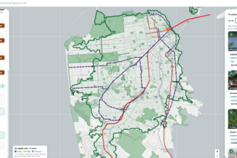
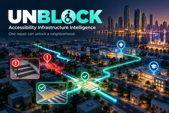
One missing curb ramp can isolate an entire neighborhood. UNBLOCK simulates accessibility barriers and ranks infrastructure repairs by how much access they restore to essential services.
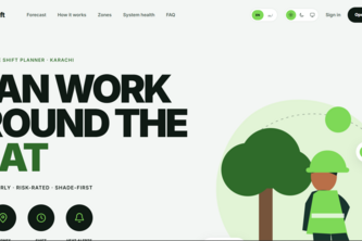
SaayaShift tells outdoor crews in Karachi the coolest time of day to work, using a real hourly heat forecast.
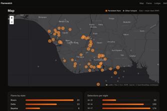
Niger Delta gas flares, seen from space every night by NASA satellites, mapped and recorded write-once on Solana so nobody can quietly edit the record.
Name an artist. GhostQ reads their crowd with Qloo and writes an original song for it, with a Qloo receipt on every line. Then it sings it.
An Alexa+ mobility copilot that helps drivers find real parking, nearby services and road alerts through natural conversation.
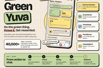
Empowering Youth. Decarbonizing Campuses. One Action at a Time.
Plans an independent restaurant's week from what's happening around it, on NVIDIA Nemotron via Nebius Token Factory, and code checks every claim against the sentence it cites.
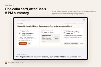
Bee hears what the people you love care about. Thoughtful keeps it and gives it back at the right moment, and never interrupts a conversation.
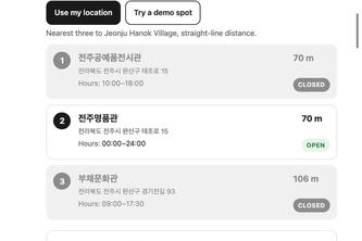
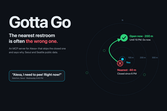
The three nearest public toilets in Korea, and which ones are closed right now. Drag the clock to 10 pm and two of the three go grey.
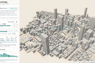
A walking route with less direct sun, from real building and tree shadows computed in your browser from OpenStreetMap and the sun's position.
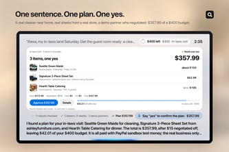
Give Alexa a budget, not a to-do list. An Alexa+ add-on that plans household errands with real products and local businesses, and places payment holds only inside the rules you set.
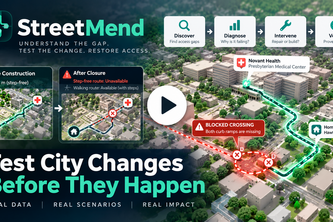
StreetMend tests proposed city changes, detects broken journeys to essential services, and verifies whether network repairs or new facilities would restore access.
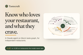
Type a restaurant. An agent reads who loves it on Qloo's taste graph and returns next week's 3 dishes, an event and a supplier order, with every cited Qloo name and score checked.
Ask Alexa for a restroom and it skips the one that's closed, has no accessible stall or no changing table, tells you why, and says so when the record can't confirm.
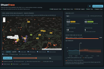
Finds the farm fires satellites miss, traces whose smoke is reaching each city on live wind, and drafts the alert for the district officer who can act.
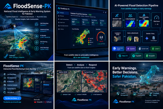
Satellite radar AI that maps floods through monsoon clouds, benchmarks them against 2010, and turns live river data into evacuation alerts with the nearest safe zone.