-
-
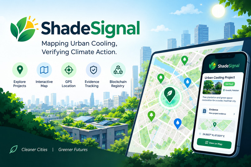
Shade signal Thumnail
-
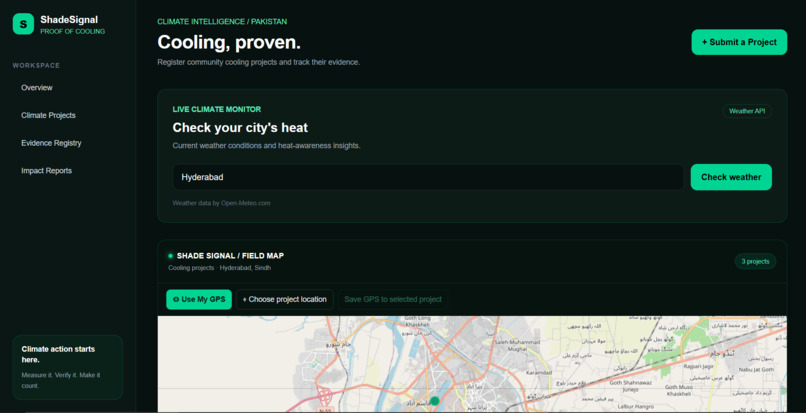
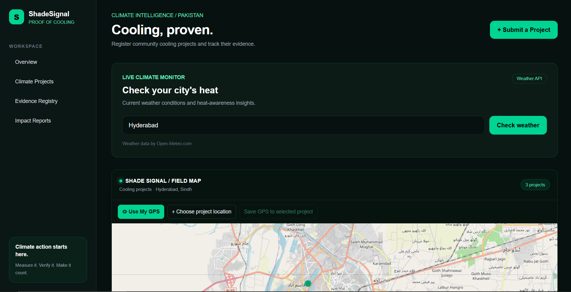
Shade signal Dashboard
-
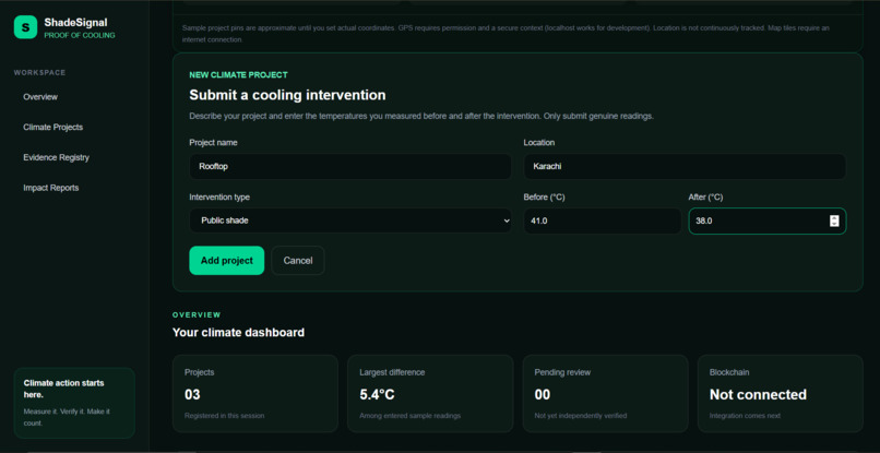
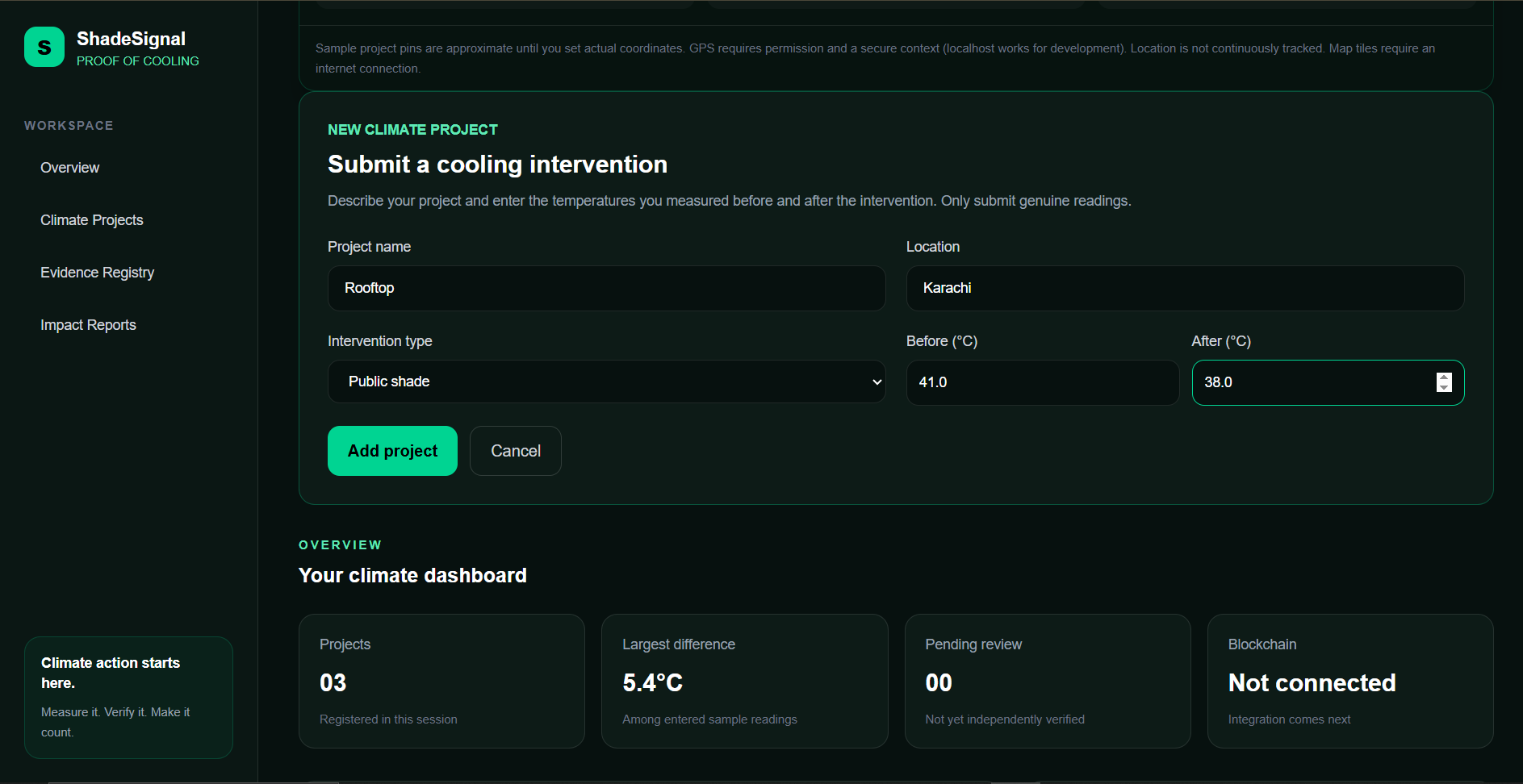
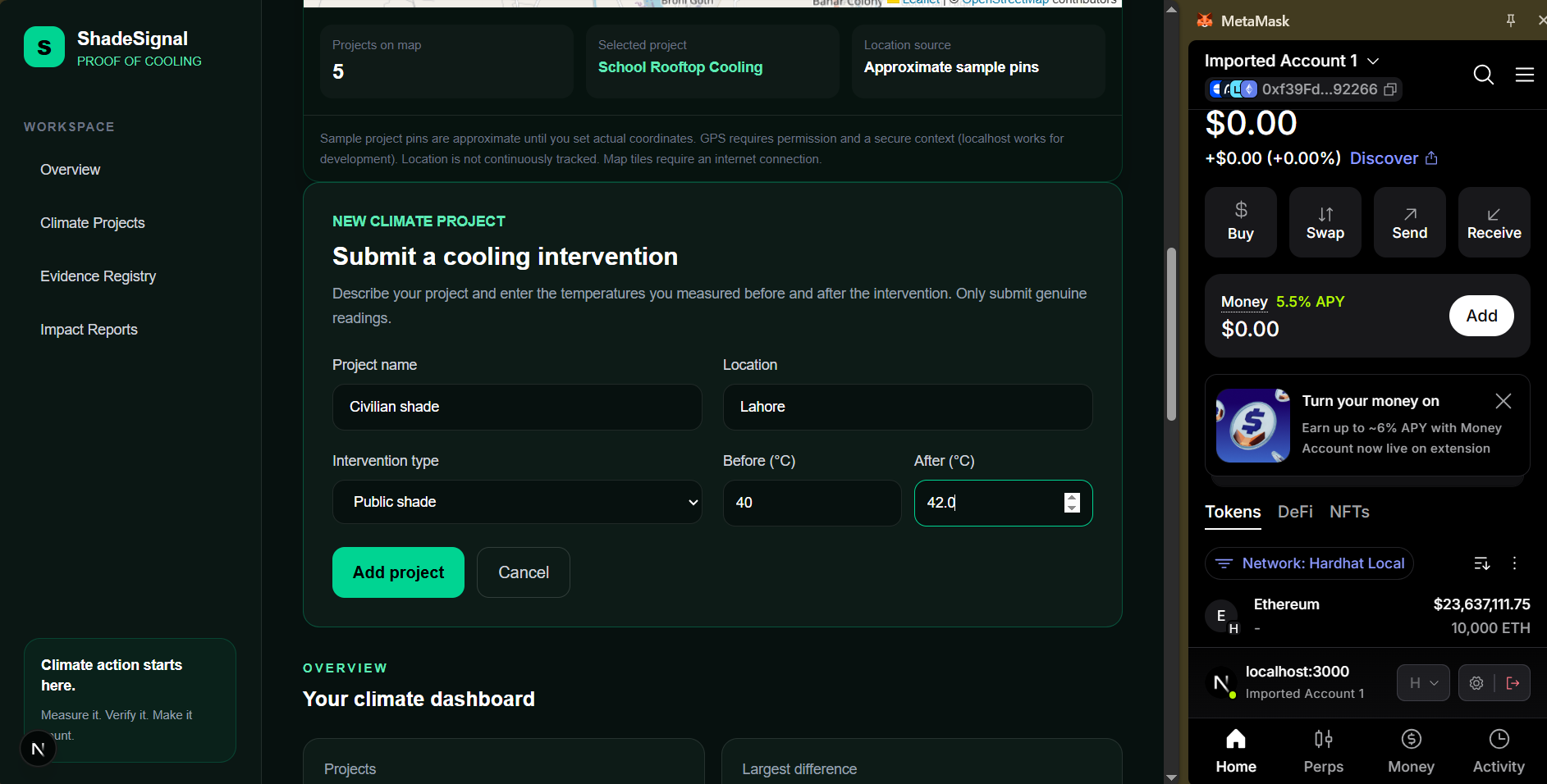
adding project
-
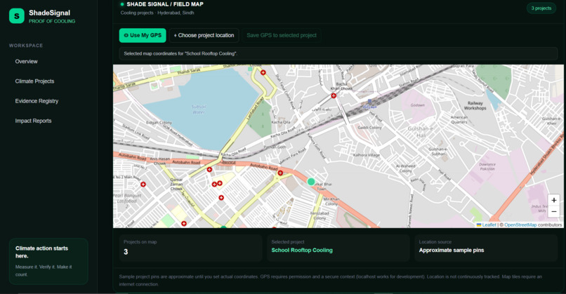
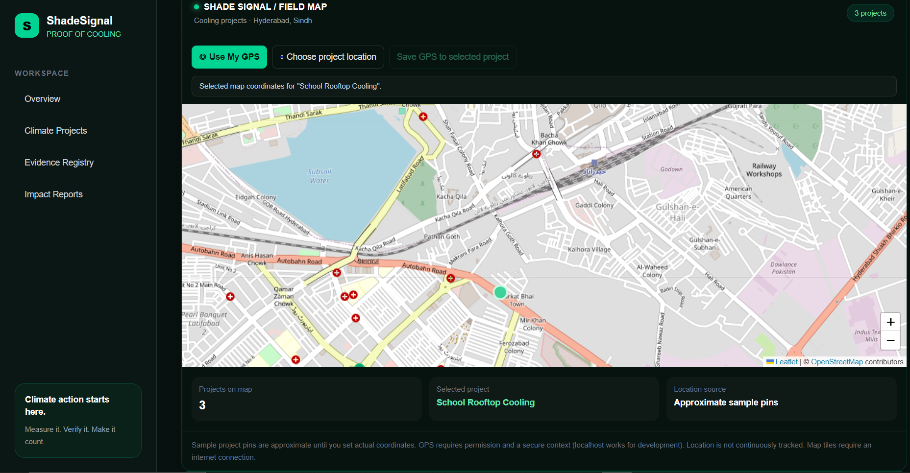
Shade signal map
-
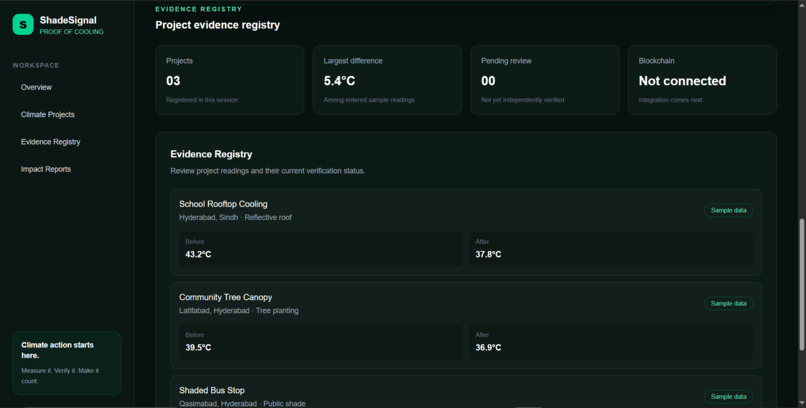
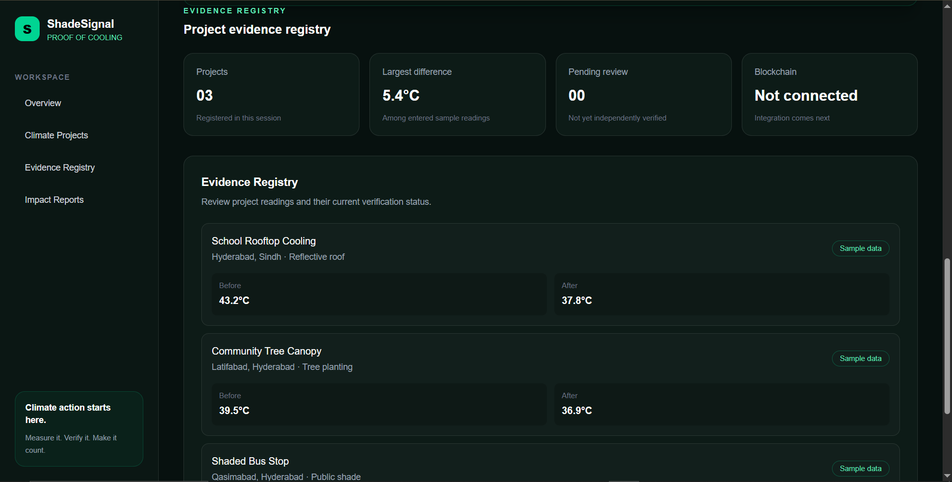
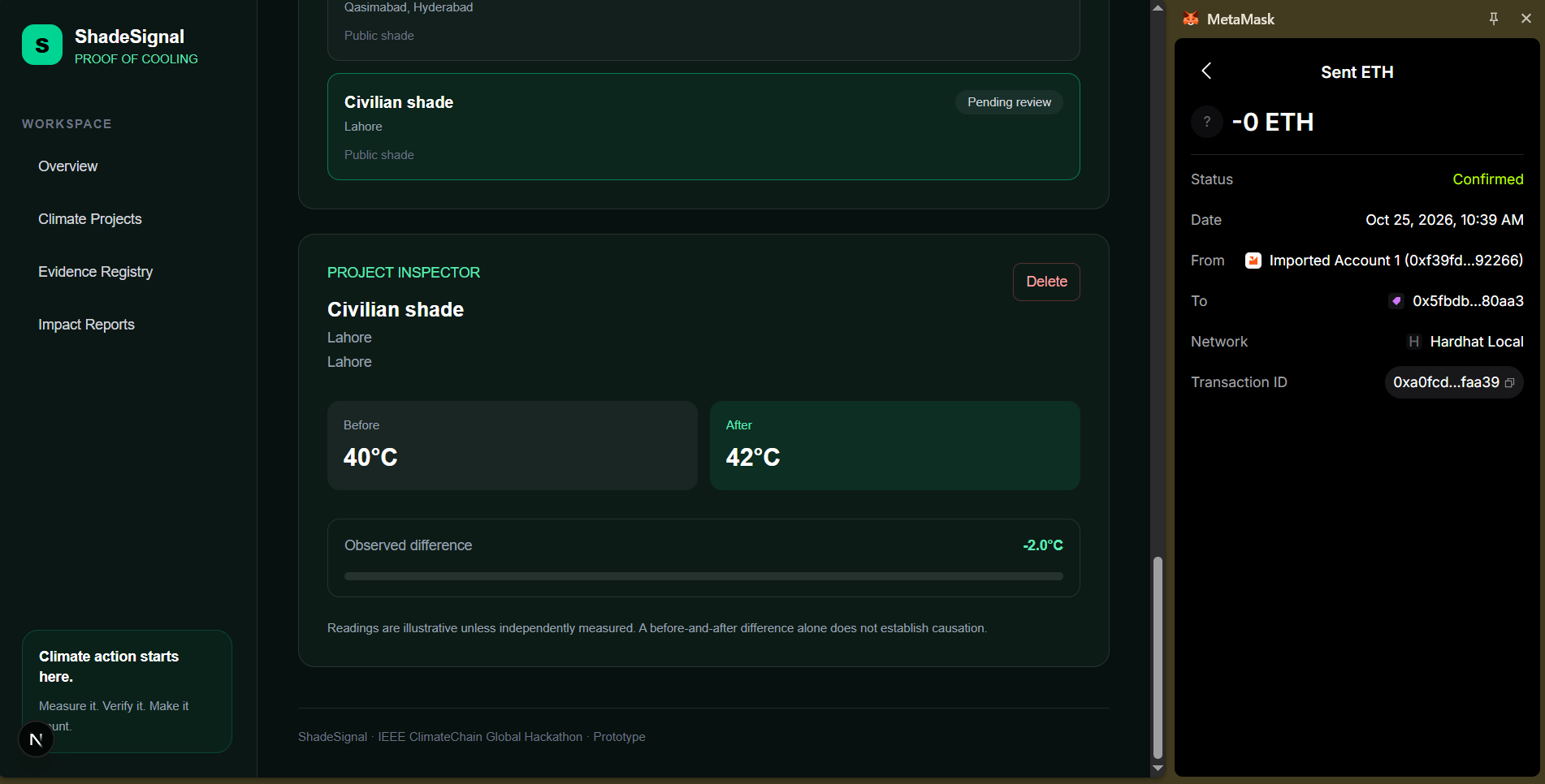
projects detail
-
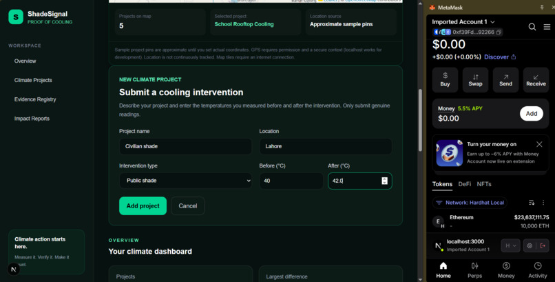
demostration of block chain 1
-
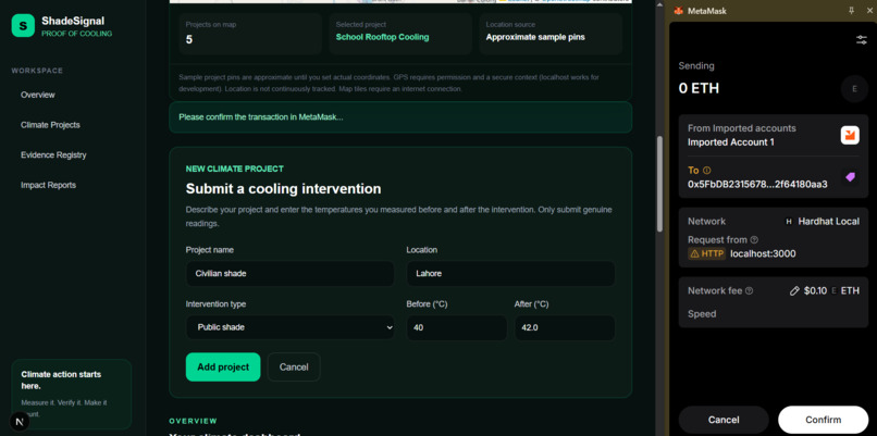
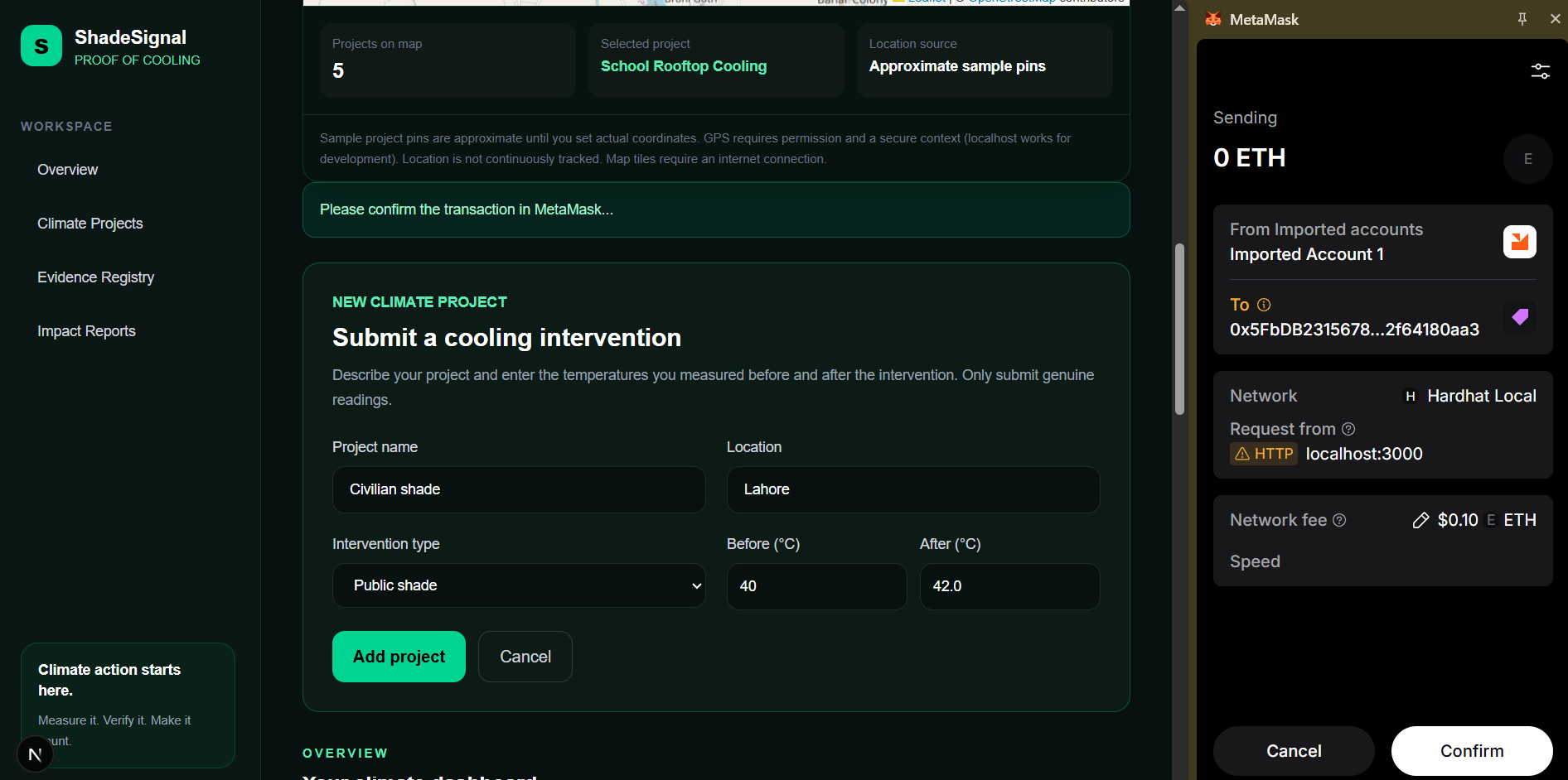
demostration of block chain 2
-
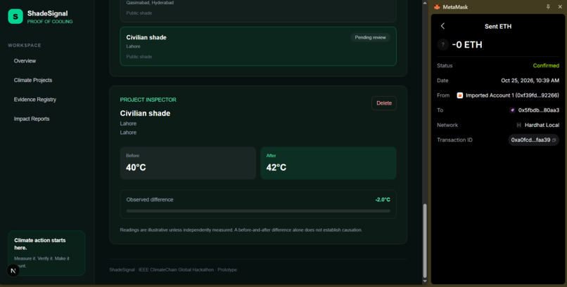
block chain conformation
-
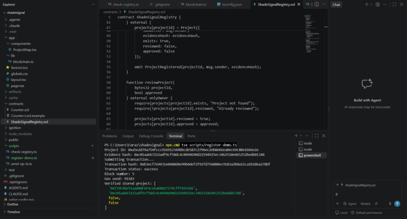
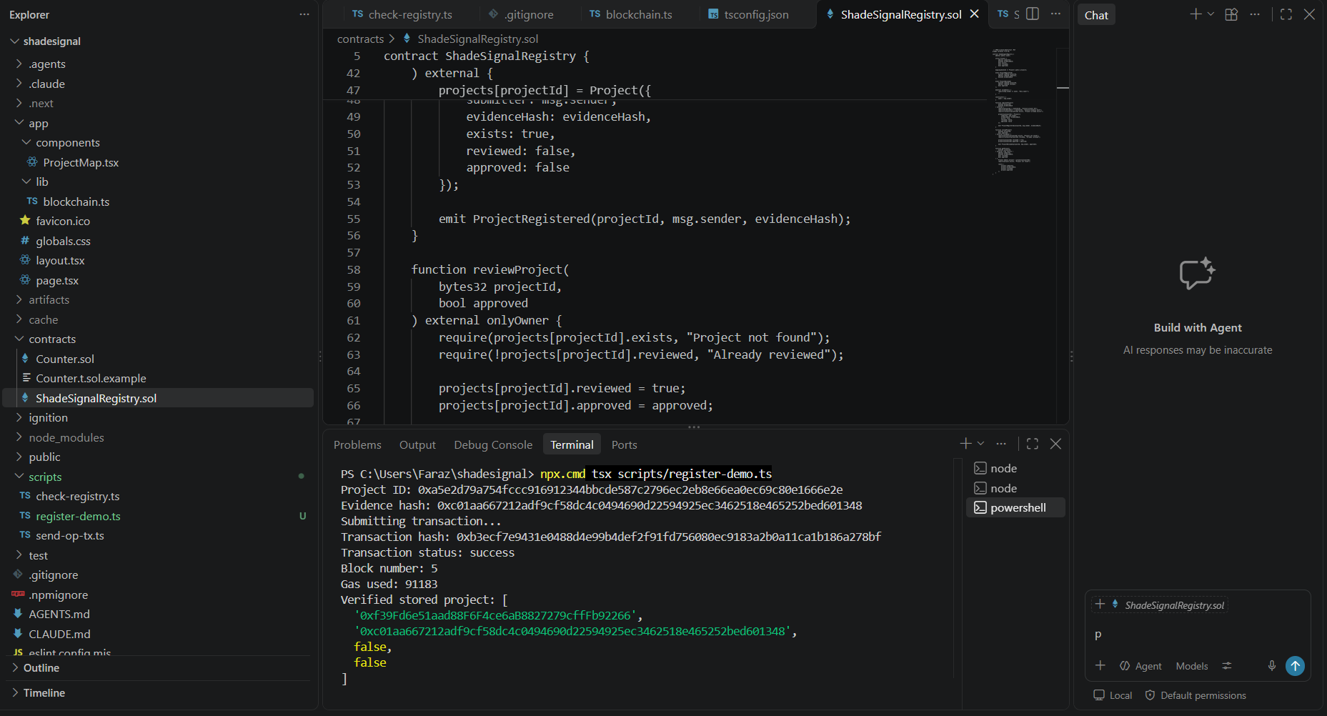
Contract demo
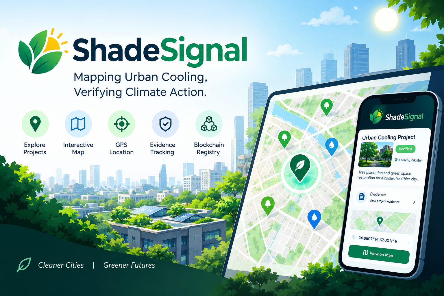
ShadeSignal — Mapping Urban Cooling, Verifying Climate Action
Inspiration
Extreme heat is becoming a serious challenge for cities, especially in communities where shade and green spaces are limited. We wanted to explore how technology could help communities identify urban cooling initiatives, map their locations, and make climate-action evidence easier to organize and review.
That idea inspired ShadeSignal: a platform designed to connect local climate projects with location-based information and a more transparent evidence-tracking process.
What It Does
ShadeSignal provides a climate-project dashboard where users can explore cooling initiatives, view their locations on an interactive map, and use GPS to identify geographic coordinates. The platform also includes project information and evidence-tracking features intended to support the review of climate-action efforts.
Our goal is to make urban cooling projects easier to visualize and their supporting information easier to track.
How We Built It
We built ShadeSignal using Next.js, React, TypeScript, and Tailwind CSS for the web interface. We integrated an interactive map using Leaflet and OpenStreetMap, along with browser-based GPS functionality for location selection.
We also worked with Solidity smart contracts and Hardhat to explore blockchain-based evidence registration. The project helped us bring together web development, mapping, and blockchain concepts in one application.
Challenges We Faced
One of our biggest challenges was integrating the interactive map into a modern Next.js application. We encountered rendering issues while troubleshooting the difference between server-rendered and browser-rendered content. We tested the implementation, reviewed our component setup, and continued debugging until the map and GPS features appeared and worked as expected.
We also had to learn how different parts of the application fit together, from the user interface to location handling and blockchain integration, while working under hackathon time constraints.
What We Learned
Building ShadeSignal taught us that creating a useful application involves more than writing code. We learned how to troubleshoot frontend issues, integrate third-party mapping tools, handle geographic coordinates, and work with blockchain development tools.
As a developing team of one, this project pushed us to learn unfamiliar technologies, test our assumptions, and keep improving the application even when things did not work on the first attempt.
What's Next
We envision expanding ShadeSignal with stronger evidence verification, more reliable project impact reporting, and a public blockchain deployment so that climate-project records can be reviewed more easily. We also want to explore how mapped urban cooling initiatives could help communities understand where local climate action is happening and where further efforts may be needed.
ShadeSignal is our step toward making urban cooling efforts more visible, location-aware, and accountable.
Built With
- blockchain
- climate-action
- climate-tech
- css
- gps
- hardhat
- html
- javascript
- leaflet.js
- next.js
- openstreetmap
- react
- solidity
- sustainability
- tailwind-css
- typescript
- urban-cooling
- viem
- web3


Log in or sign up for Devpost to join the conversation.