-
-

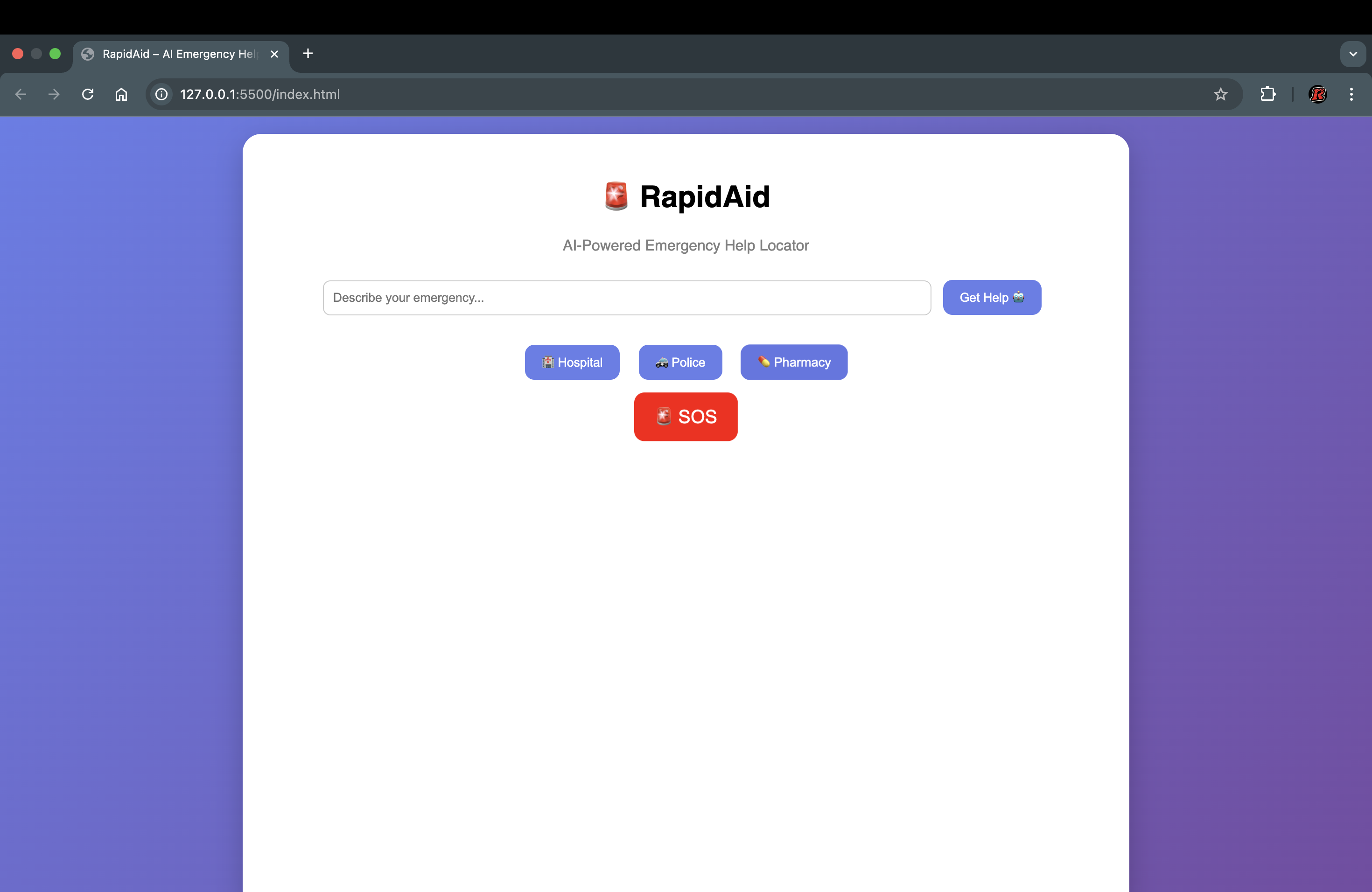
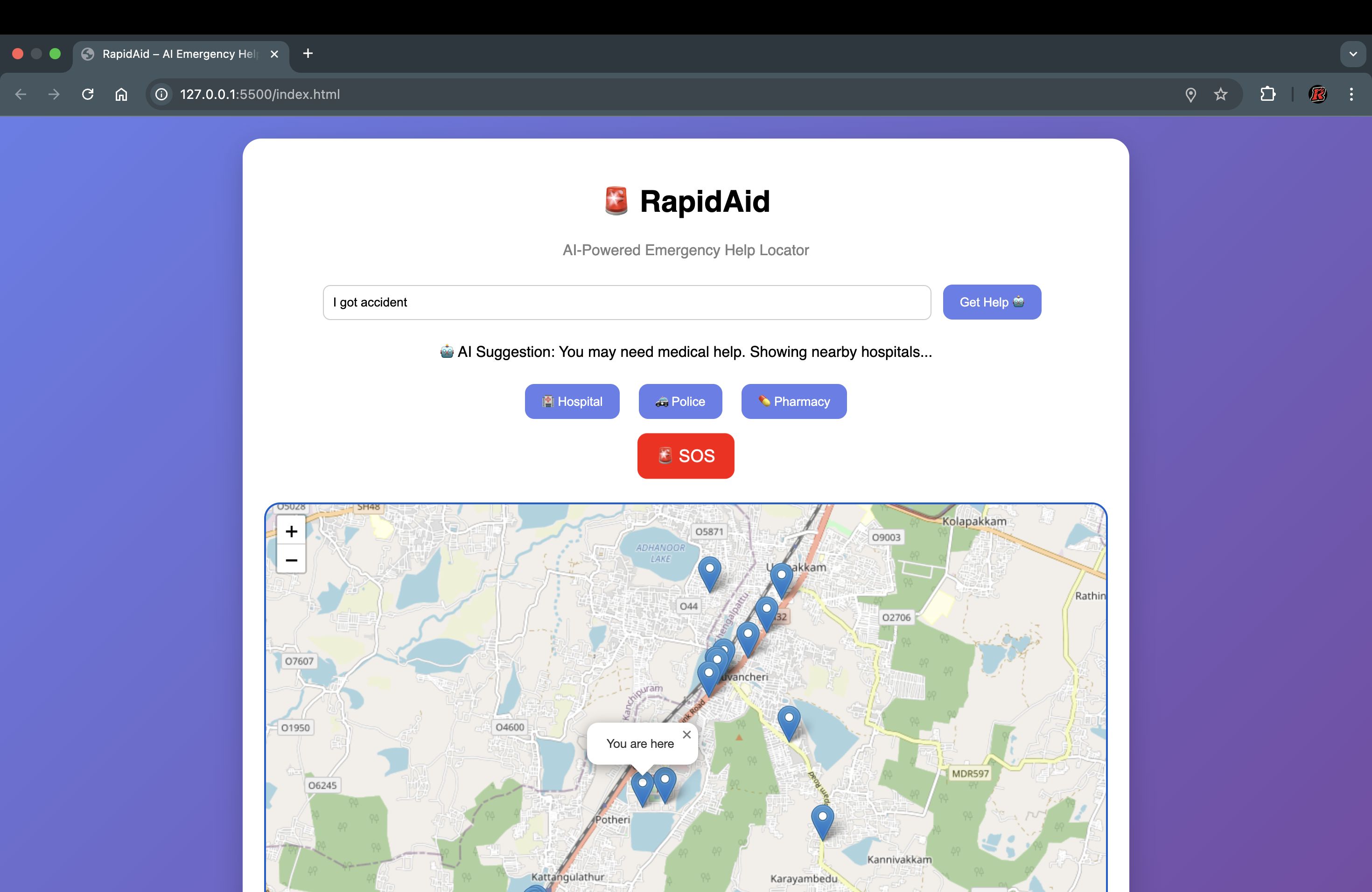
Main UI: Clean and intuitive interface with emergency service options
-
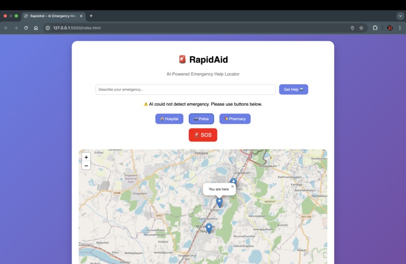
Police: Quick access to nearby police stations
-
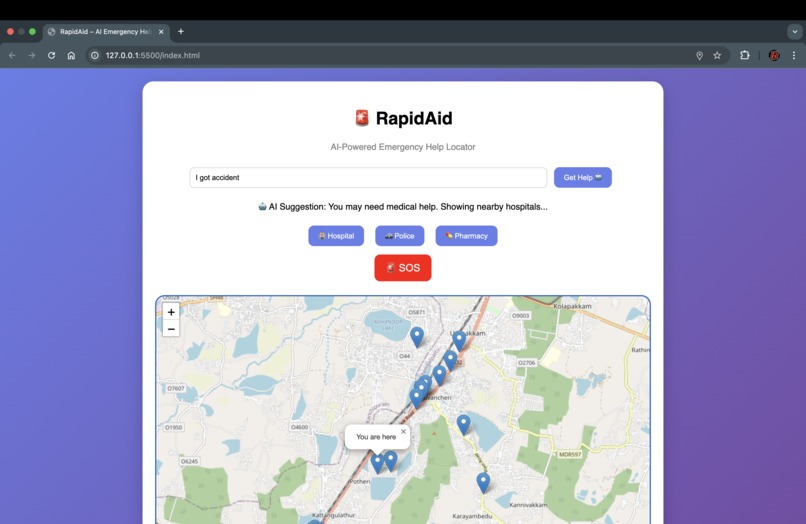
Hospital: Nearby hospitals displayed with real-time markers
-
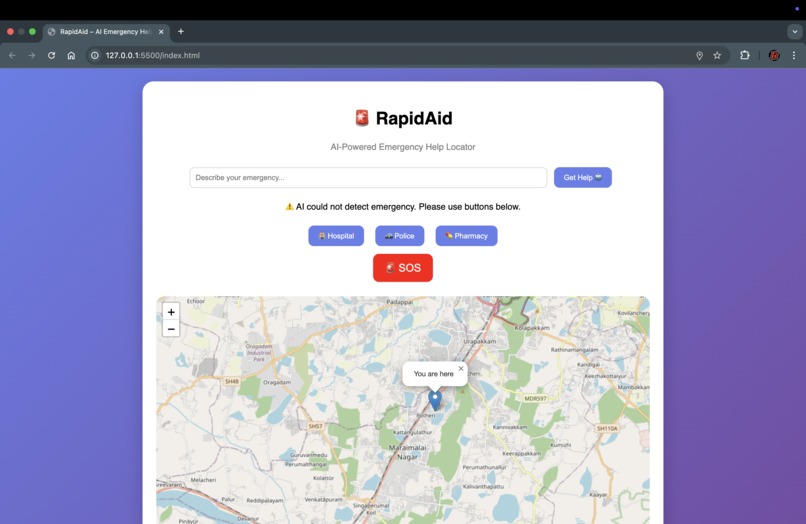
Pharmacy: No pharmacy nearby


🚨 RapidAid – AI Emergency Help Locator
💡 Inspiration
In emergency situations, people often struggle to quickly locate nearby help. Delays in finding hospitals or police services can have serious consequences. We wanted to build a simple and fast solution that ensures users can access emergency services instantly.
🚀 What it does
RapidAid is an AI-powered emergency assistance tool that:
- Detects user location in real time
- Suggests services using an AI-based assistant
- Displays nearby hospitals, police stations, and pharmacies
- Shows distance to each location
🛠️ How we built it
We used:
- HTML, CSS, JavaScript for frontend
- Leaflet.js for map visualization
- OpenStreetMap (Overpass API) for location data
- Custom AI logic to interpret user input
⚙️ How it works
The system uses geolocation and service filtering:
$$ Results = f(Location, ServiceType, Radius) $$
It also includes a rule-based AI system that analyzes user input and suggests appropriate emergency services.
⚡ Challenges we ran into
- Handling inconsistent location data
- Designing a responsive UI
- Mapping user input to relevant services
- Managing API query performance
🧠 What we learned
- Real-time geolocation handling
- Map integration using Leaflet
- Building AI-like systems without APIs
- UI/UX design for emergency applications
🌟 Future improvements
- 🔴 Real SOS alert system
- 📍 Navigation to nearest service
- 🎤 Voice-based AI assistant
- 📱 Mobile app version
❤️ Impact
RapidAid provides a fast, accessible, and intelligent solution for emergency situations where quick decisions can save lives.

Log in or sign up for Devpost to join the conversation.