-
-

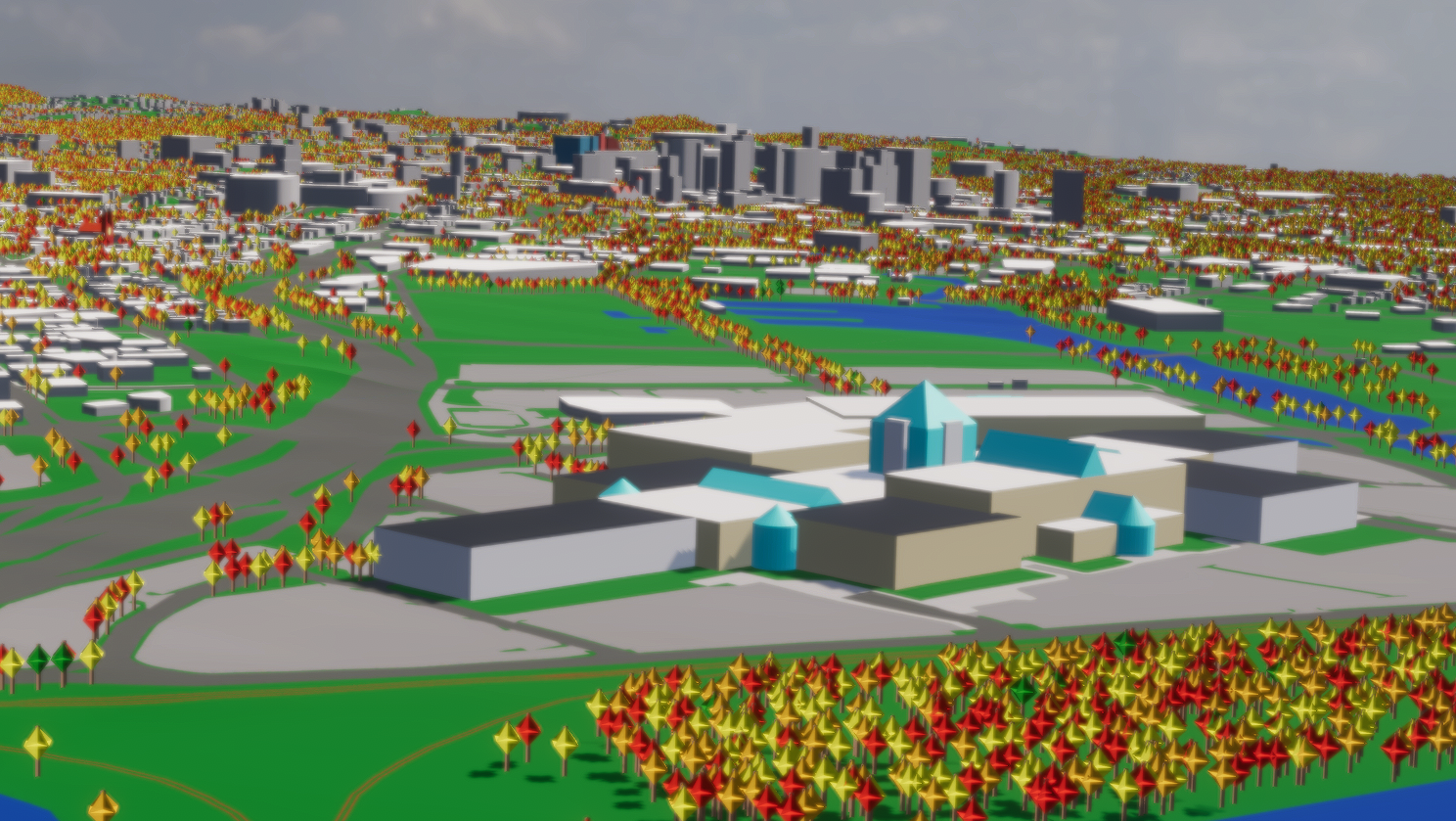
Upstate Medical Center
-

Destiny Mall
-
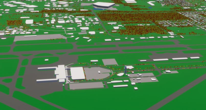
Syracuse Hancock International Airport
-

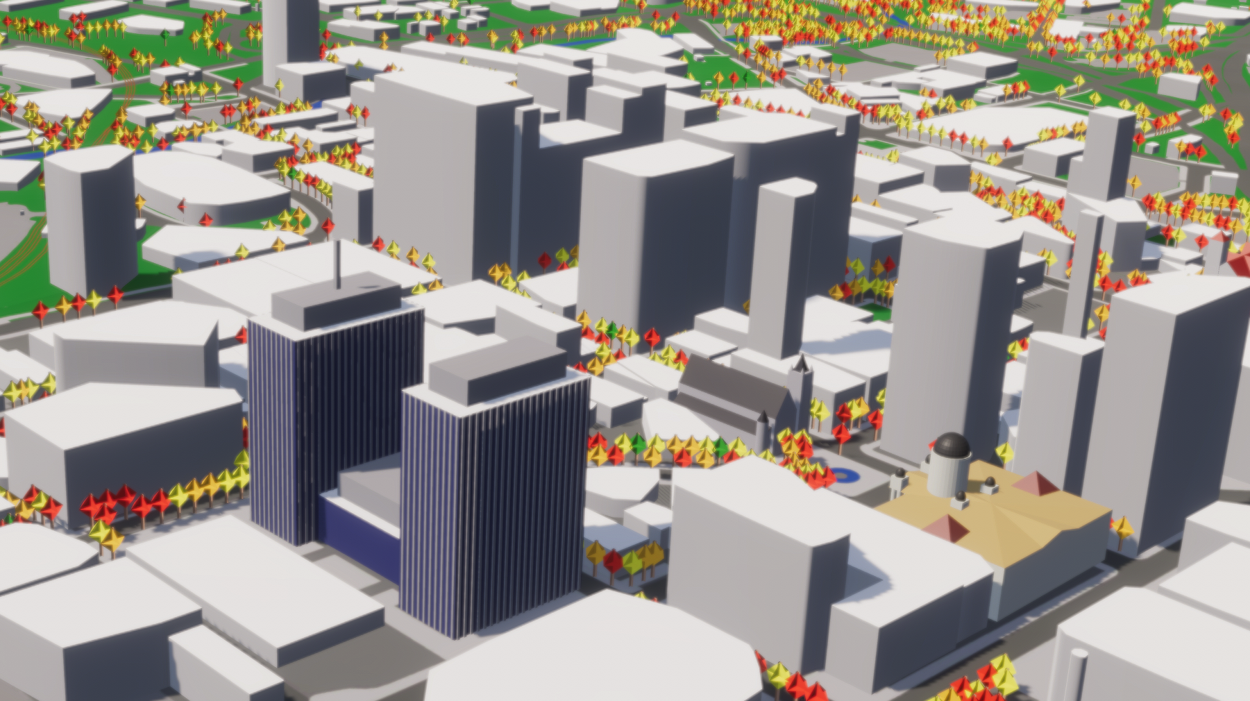
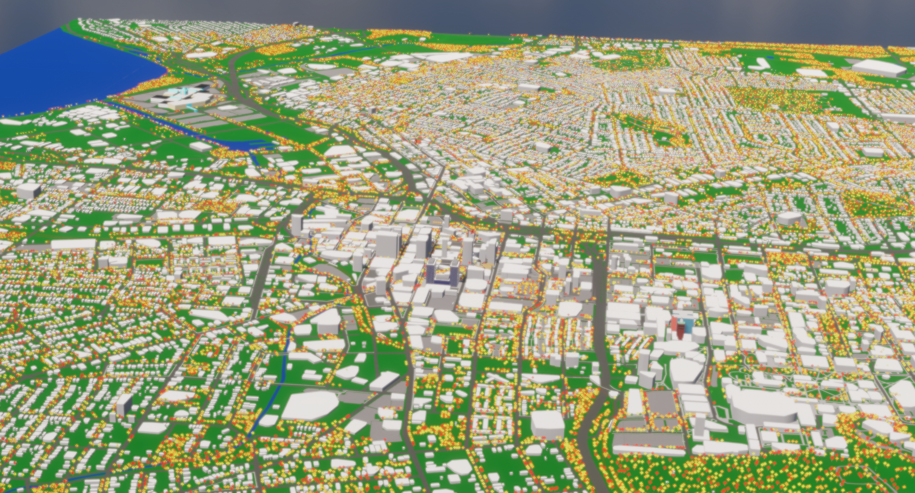
Downtown
-

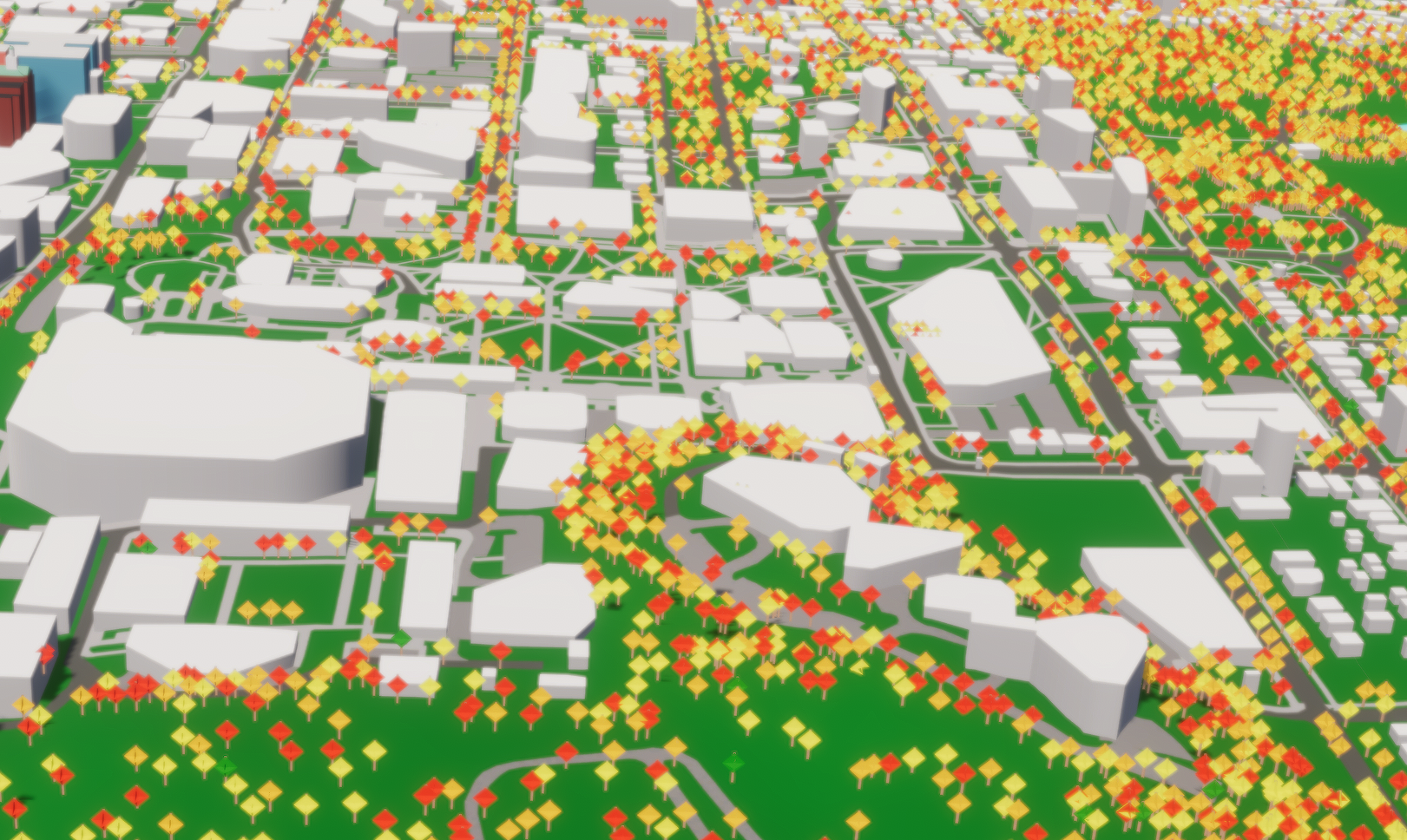
Syracuse University
-

LeMoyne College
-

Full City
-
City Hall


Inspiration
We previously worked at a company whose mission is to produce a realistic digital twin of the entire earth. We used our experience to create a program that creates simplified digital twins of cities based on available GIS data.
What it does
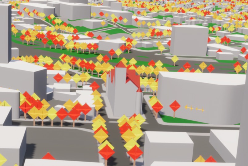
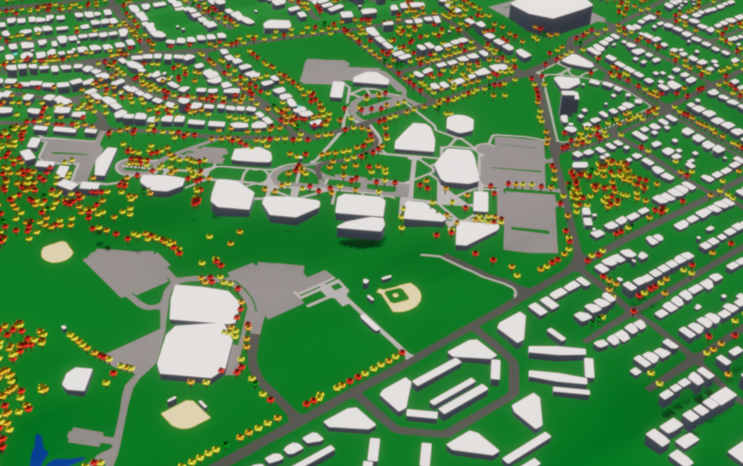
Our digital twin of Syracuse contains roads, sidewalks, parking lots, bodies of water, buildings, and trees. It could be used to simulate cars, airplanes, drones, pedestrians, or trains.
How we built it
We used Python to create the mesh and Unity to create the simulation program.
Data Sources
Syracuse City Tree Dataset OSM Buildings OSM Water OSM Railways Manually-annotated road polygons Manually-annotated sidewalk polygons Manually-annotated parking lots Manually-annotated baseball fields
Challenges we ran into
There was not a dataset for road and sidewalk polygons. We had to manually annotate them in GIS software.
Built With
- blender
- geojson
- josm
- obj
- openstreetmap
- python
- qgis
- shapefile
- unity

Log in or sign up for Devpost to join the conversation.