Devpost
Participate in our public hackathons
Devpost for Teams
Access your company's private hackathons
Grow your developer ecosystem and promote your platform
Drive innovation, collaboration, and retention within your organization
By use case
Blog
Insights into hackathon planning and participation
Customer stories
Inspiration from peers and other industry leaders
Planning guides
Best practices for planning online and in-person hackathons
Webinars & events
Upcoming events and on-demand recordings
Help desk
Common questions and support documentation
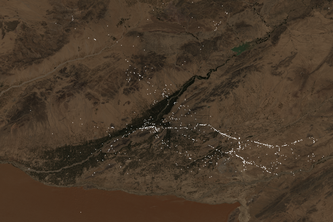
Using satellite imaging, we hacked a deep learning tool extracting terrain features, and used then to predict the placement of landmines in conflict areas like Afghanistan.
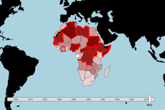
Predicting Interstate and Internal Conflicts using Small Arms Transfers, Military Expenditures, etc. We use a time-series framework to tackle the problem.
Decentralize and democratize communication, without AI or Blockhain. Half the buzzwords, twice the challenge.
Our tool provides up-to-date GIS data against IED threats for local communities in Afghanistan