-
-

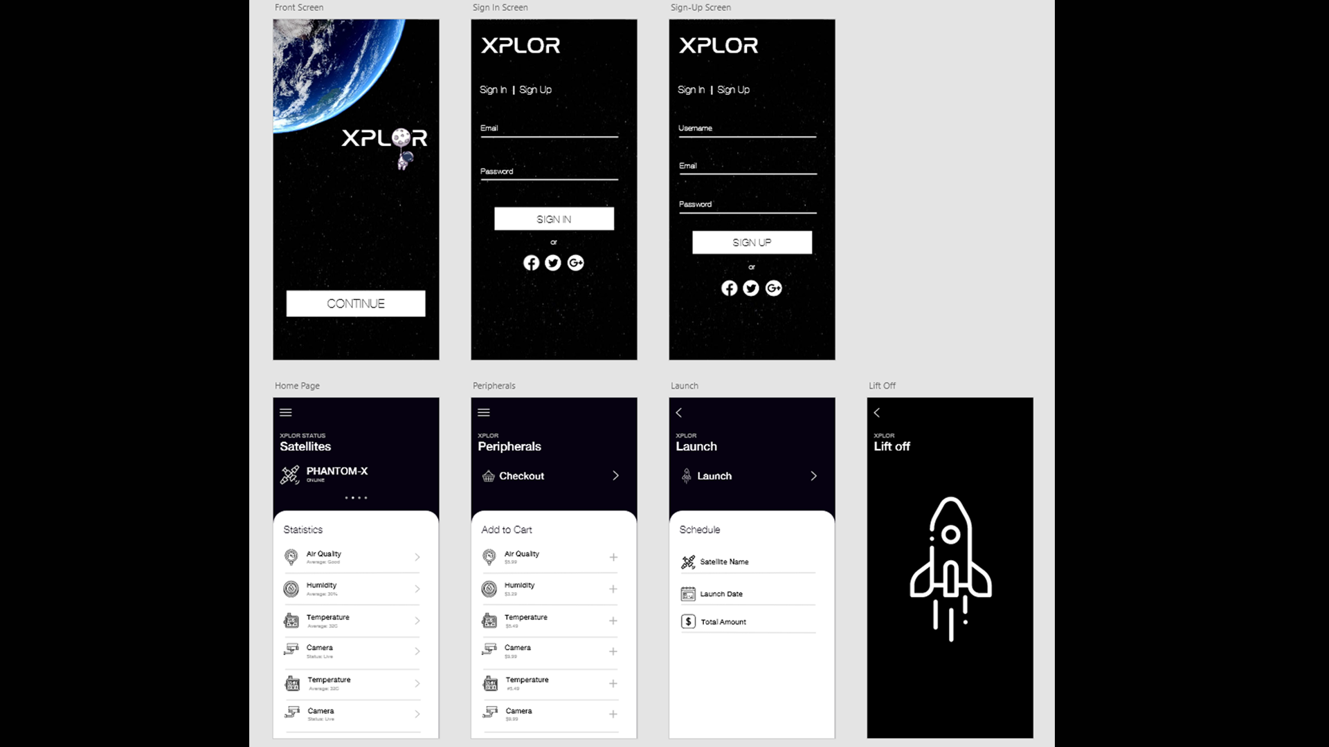
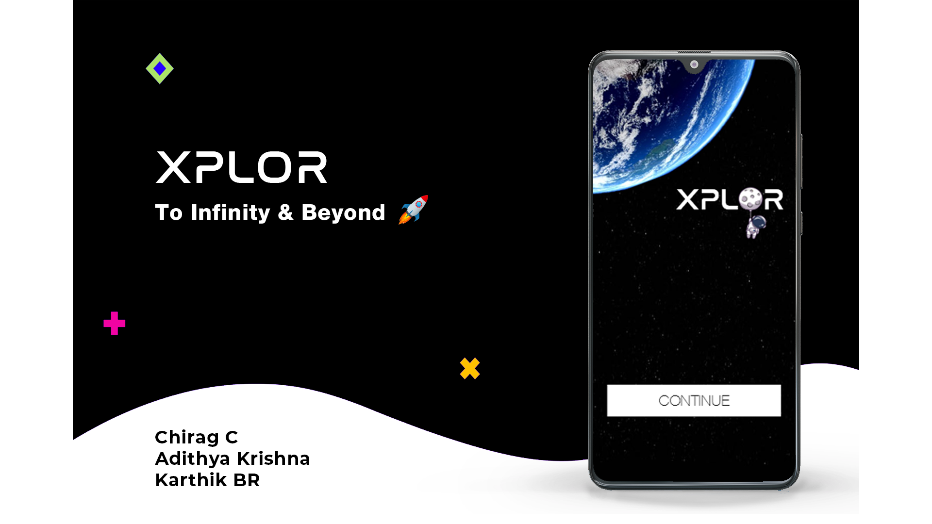
Xplor - App Designs
-

Xplor - A Satellite as a Service Platform
Inspiration
XPLOR - A Satellite as a Service platform designed keeping in mind the enthusiasm and interest of community towards in creating satellites or gathering accurate weather data from higher altitudes where a user can get precise weather data as well as be able to forecast weather.
Xplor also paved a way towards making a satellite accessible on your fingertips with the precise data. Anyone from High School to Retired People interested in learning about satellites, weather data and more will be able to use this platform.
Xplor is also a way to develop Low-Cost satellites for hobbyists and other people wanting to learn more about how a sensor works, how the weather data is analyzed and more.
What it does
- Xplor enables a user to launch a Personal Satellite and he can choose to make the data public or private according to his needs.
- It also enables a user to get Precise and Accurate Weather Data due to the higher altitudes and thus leading to better forecast data analysis.
- The stats of the sensors in the satellite can be seen by as user through a ** Very Minimal and Eye-Catchy** app which can be installed on Android as well as iOS
How we built it
The building process of the whole device spanned across 2 stages of development,
- 1. Design and Ideation: We focused on the user interface and user experience of the app which can enable more users to use our platform. The App was designed on Adobe Xd and Once the design was finalized, we fixed upon the sensors and other hardware parts.
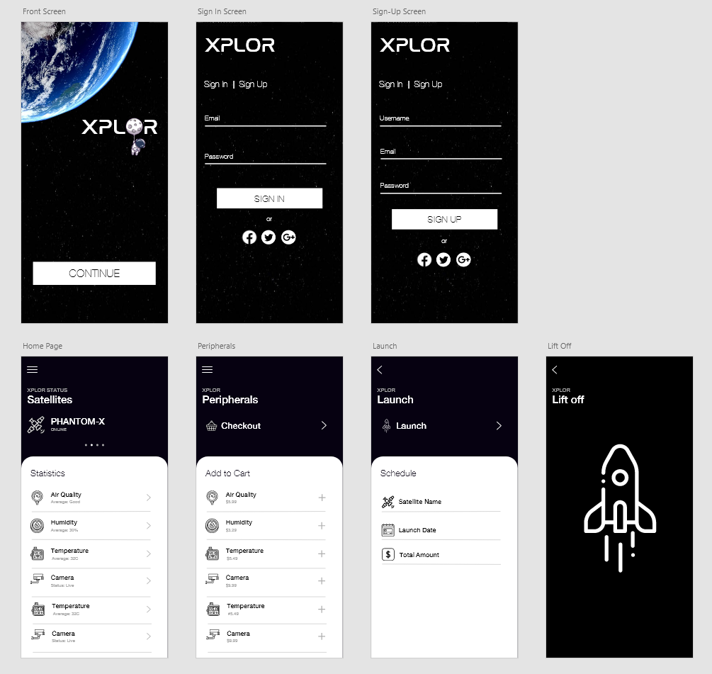
- 2. Development: In this stage, our idea was divided into two parts to work upon, the first was developing the app and the second was to develop the hardware, program the boards, sensors etc.. i.) The App was developed using React-Native a open source mobile framework. The images and icons were designed using Adobe Xd, Adobe Photoshop ii.) The hardware aspects of the device were developed using two boards, Raspberry Pi Zero & Arduino Uno R3 with various sensors like **HC-12 (For Transmission and Receving), MQ135(For Air Quality Monitoring), DHT11(For Monitoring Temperature and Humidity).
The Raspberry Pi Zero running Raspbian OS is the Receiver which is responsible for receiving the data from Arduino Uno R3 and parsing it and then simultaneously update the data in Google Firestore which was used for the Database part.
The Arduino Uno R3 was being as used as the transmitter module aka satellite module which was responsible for gathering various data from the sensors and transmitting it to the Raspberry Pi Zero through a HC-12 Radio Transeciver.
Challenges we ran into
- The most difficult task was to get the two development boards to communicate with each other through the HC-12 Radio transmitter as the communication was completely based out of serial port and UART.
- The string and JSON parsing of the data received from the Pi Zero through the Firebase was the next most difficult challenge as the data from the sat module had to be updated in real time and shown to the user through the app.
- Due to the Rainy weather here, the Helium Balloon (Carrying the Transmitter) couldn't reach a good height but it was ~150m over the Pi Zero(Receiver) and the devices were successfully able to communicate with each other with real time updating of data and was captured on the app as well.
Accomplishments that we're proud of
- 1. Building a fully functional satellite under 24hrs with fully functional monitoring application.
- 2. The communication of data between a Raspberry Pi Zero and Arduino Uno R3.
- 3. Real time updating of received satellite data onto Google Firestore.
- 4. Achieved promising results despite the rainy weather.
- 5. Sleep Deprived for 24hrs straight :D
What we learned
- 1. Communication between two different development boards with different architectures is totally possible and will result in powerful devices.
- 2. Arduino Programming
- 3. Adding a camera to the device would have made it heavy for the board to handle.
What's next for XPLOR
- 1. To add more features to the whole app and support for downloading of data obtained from the sensors.
- 2. To 3D-Print a case for the whole satellite with appropriate places to hold the sensors and to build a better medium to send the satellite to greater heights.
- 3. To support live camera feed so that users can get a aerial view of the place from which the satellite was launched.
- 4. To increase the range of the overall device to support for greater heights.
- 5. To work closely with Government Agencies to enable more users to launch their own satellites and work towards the Overall Development and Welfare of the Country


Log in or sign up for Devpost to join the conversation.