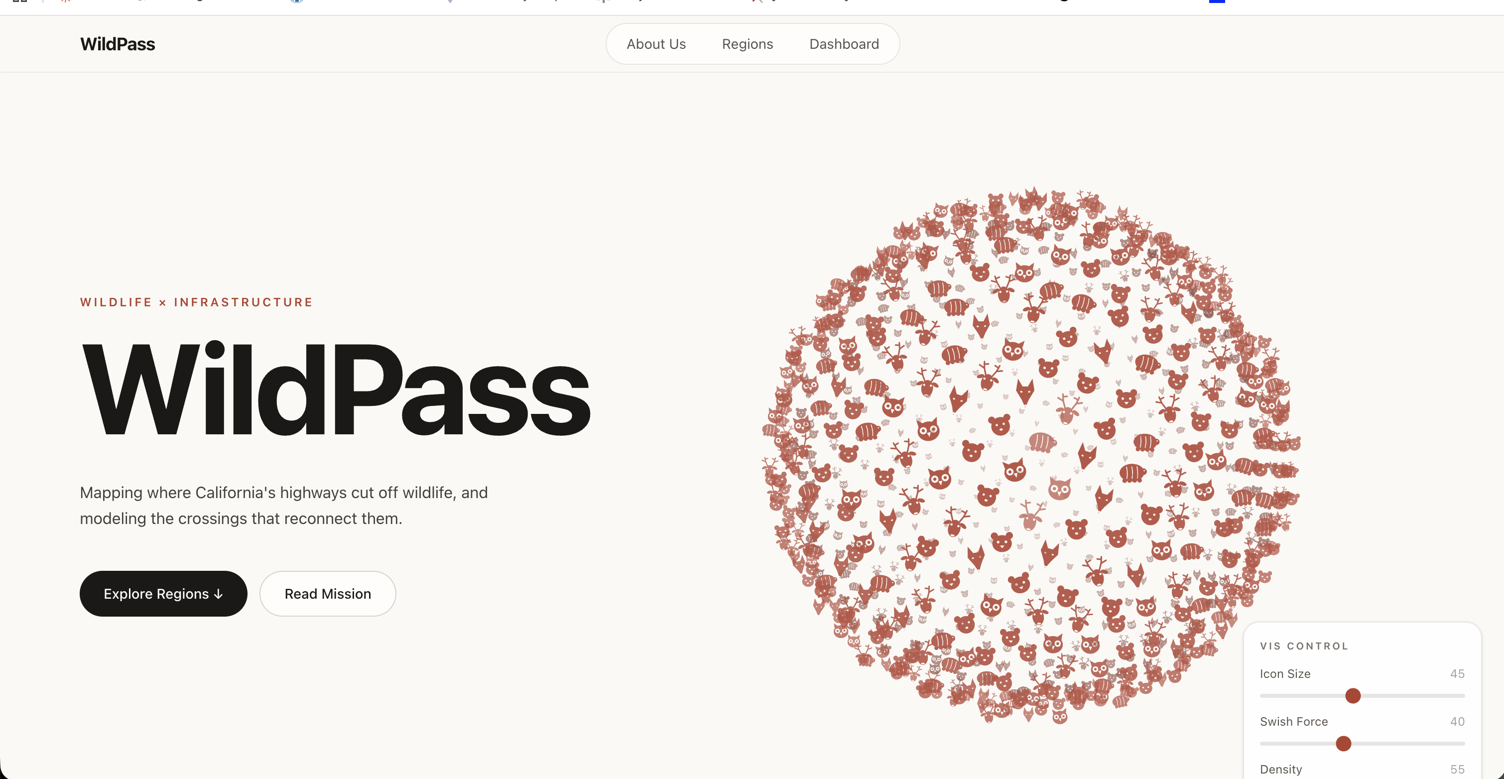
California's highways cut straight through critical wildlife habitat, endangering both animals and drivers. State Route 37 along San Pablo Bay, once nicknamed "Blood Alley" for its fatal crashes, splits two protected wetlands home to the endangered salt marsh harvest mouse and Ridgway's rail. The information on these conflicts was scattered across Caltrans reports, USGS studies, and news articles, so we built WildPass to put it in one place. WildPass bridges the gap between modern life and natural life, both literally and figuratively, by showing where infrastructure fails wildlife and how engineered crossings let animals and people coexist
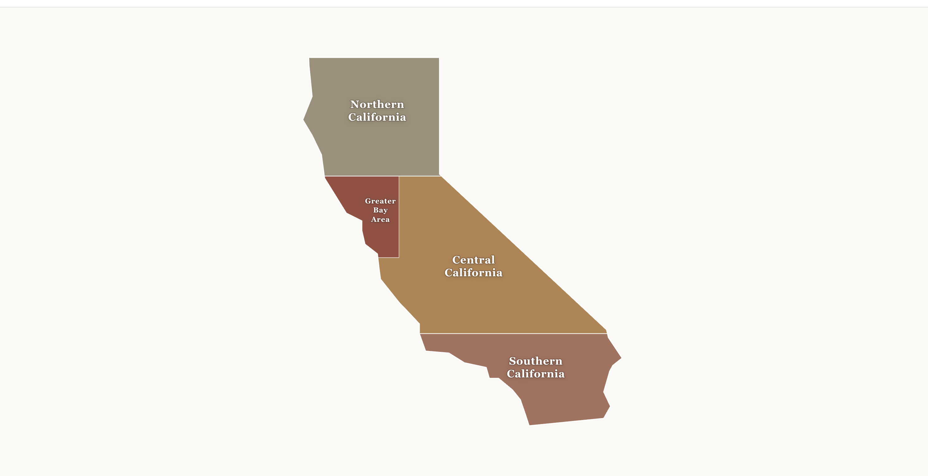
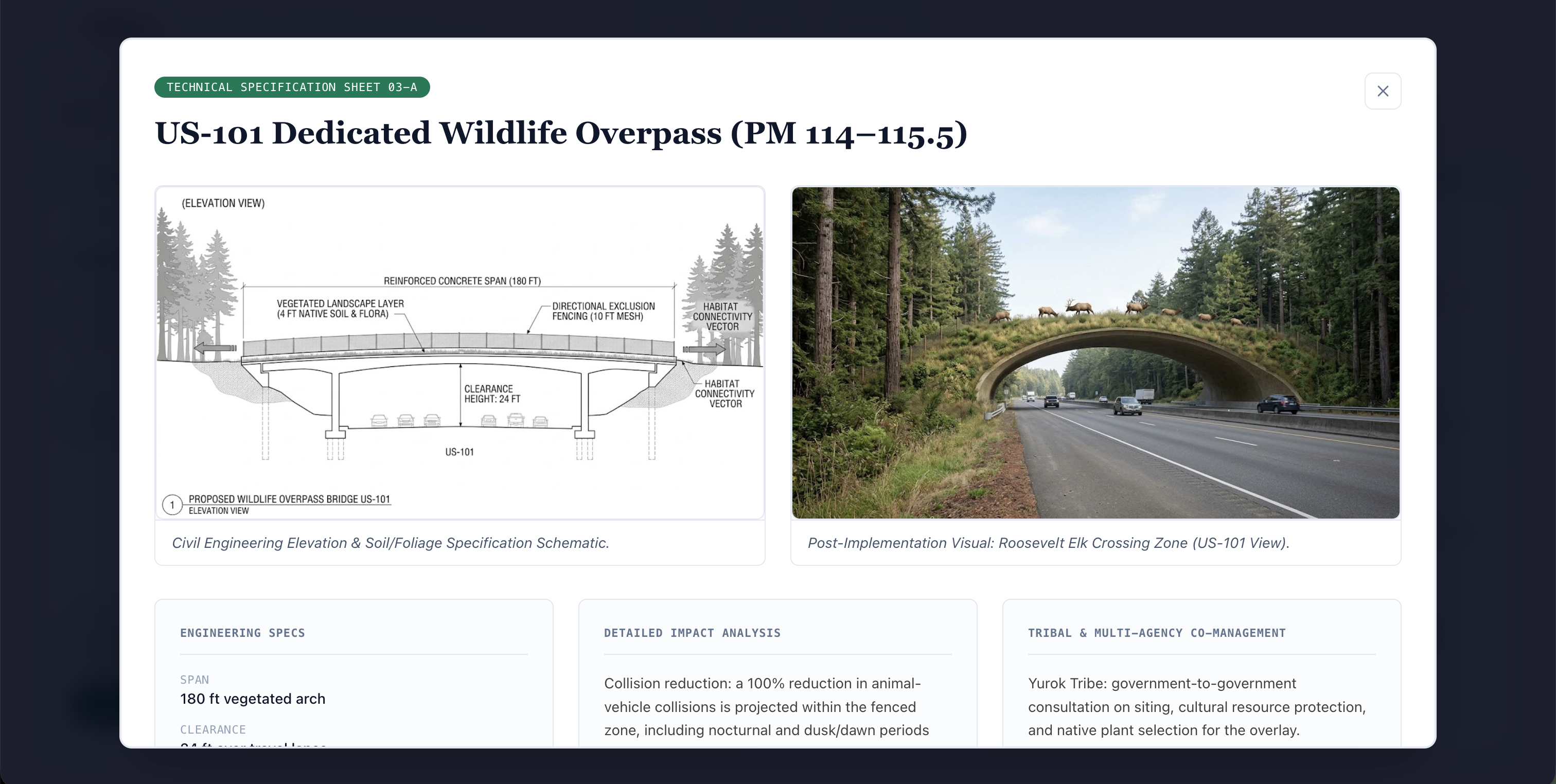
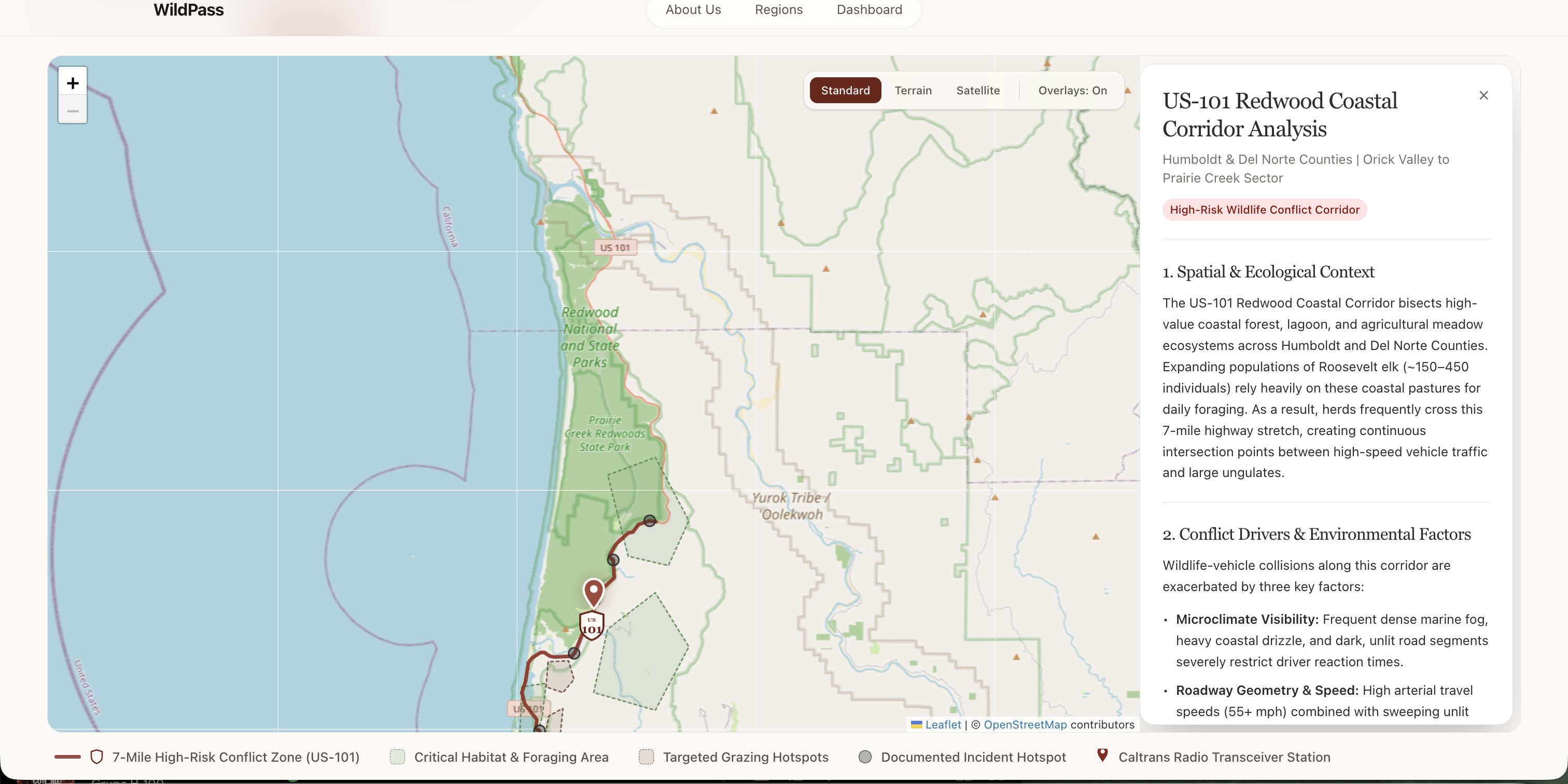
We built the front end in VS Code with agentic tools, using Leaflet and OpenStreetMap for corridor maps with real highway alignments, habitat overlays, and species popups. Users pick a region, select a conflict pin, and explore each corridor's existing mitigation projects and a set of generated solutions spanning indigenous co-management, capital infrastructure, and telemetry, each with a technical spec sheet and AI-generated schematics and renders. Every figure is sourced from public source, including Caltrans project pages, BCDC staff reports, and USGS studies.
Reliable wildlife data was hard to find. No official population count exists for the salt marsh harvest mouse, so we used published survey data rather than inventing numbers, and we labeled approved-but-unbuilt projects accurately instead of overstating them. We also had to rebuild hand-drawn route lines to follow real road geometry and work around AI image-tool usage limits. We learned that wildlife connectivity is as much a public safety issue as an environmental one, and that the strongest solutions combine engineering, ecology, and tribal land stewardship.


Log in or sign up for Devpost to join the conversation.