-
-

logo
-

first brainstorm
-

draff of POIs category icons
-

app Avatar - proposal I (winner)
-

manchester buildings (polygons) on map
-

app Avatar - proposal II
-

Manchester POIs on Here map


Why not reach any city and say to your friends, I Went! there? Find new places, go through them for the locals' pleasure or challenges provided by an exploration app.
The team's primary motivation, formed by students of the 1st year of multimedia engineering from ISTEC-Porto, developed their experience on apps and deepening their knowledge in group working programs team working programs.
What it does?
The proposed app has the main objective to present a city's locations in the diversity of relevant spaces such as monuments, museums, castles, schools, parks, and others. The placement of points on the map aims to induce the user's interest in exploring places according to routes of interest, based on results events as if it were a geocache exploration game. In this way, the _ first objective _ is to help those who visit cities and seek to captivate native people to become more specific in their own country and cities. The _ second objective _ is to put people's health first, making them aware that they can combine good physical condition with the knowledge of the most relevant places in the city and motivate them to undertake the routes through the proposed challenges.
How we do it:
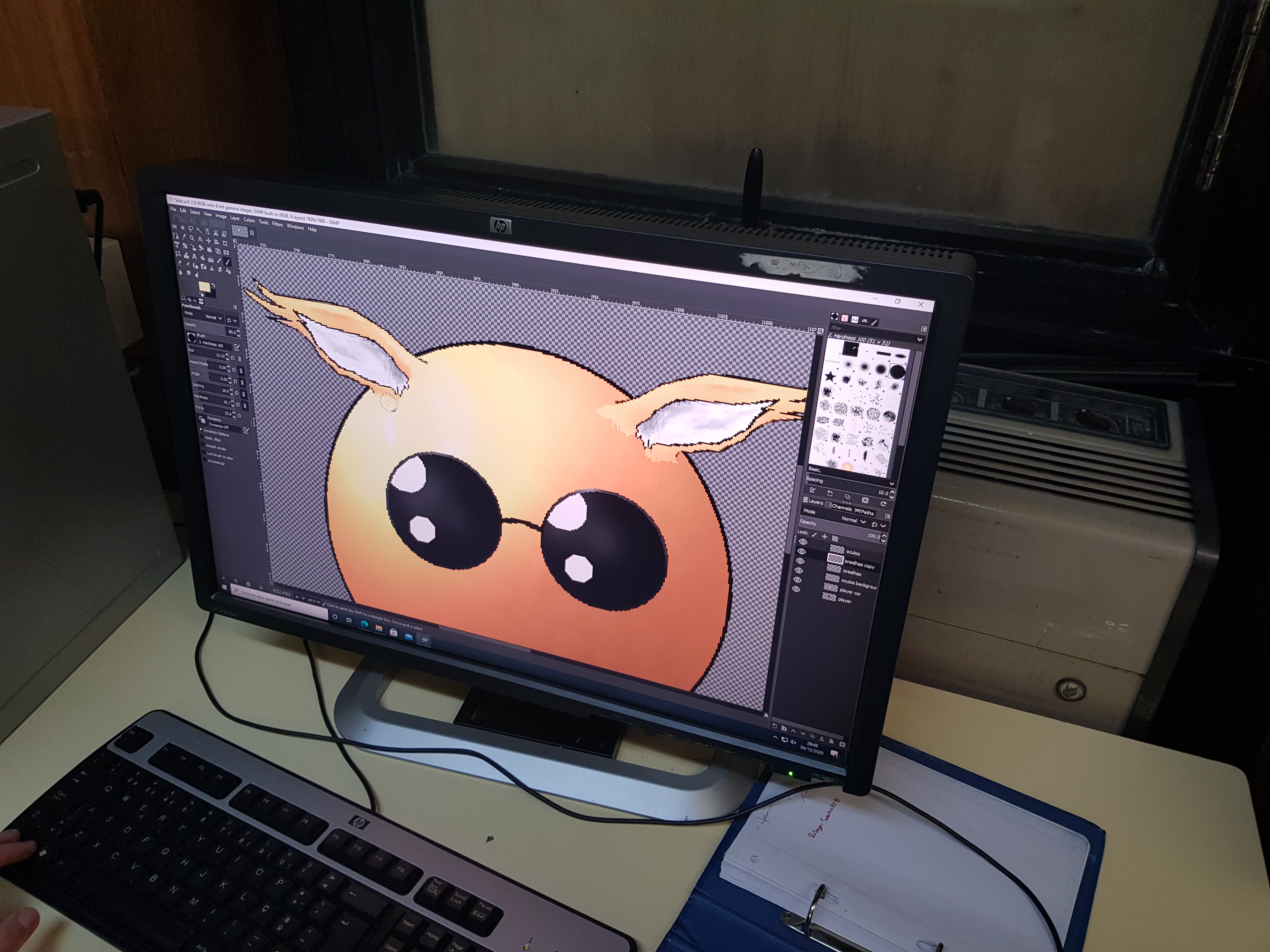
The proposal that was developed intended to take advantage of the current skills of students in different areas: multimedia, database, programming. The convergence of tools was diverse and open-source or proprietary software. In the first place, for the image edition were used applications like _ "GIMP" _, _ "Adobe PhotoShop" _ and _ "Adobe Illustrator" _ as such the creation of characters and icons with several proposals of elements, and were used other tools of video capture and video edition for the promotional video. Next, the app implementation has two development lines (app and Web) that use various competencies in the time. It was also necessary to develop the code through _ Github _ control, where we used tools like _ "Android Studio" _ to run the app and other programs IDE to execute the web page. It was still essential to use the geographical information provided by Here, that we download the pilot city Geojson files, Manchester, and we choose the most relevant buildings to survey them (polygons) to categorize according to our categories. This effort was necessary because the map platform anonymized the available data.
Challenges we ran into:
The challenges were enormous because we only entered the project a week and a half before the end of the submission, but fortunately, there was an extension. During the project's execution, the team had several challenges that naturally implied some difficulties and even obstacles, such as time management of the elements in specific tasks, communicating the different steps we would have to take. Having been a team formed for the sole reason of belonging to the same class, of course, many issues were and are still being improved in terms of soft skills. There were also technological challenges with the integration of the tools proposed by Here. Firstly, the elements' ability to integrate new languages (_ javascript _) has a more significant learning curve, but that was achieved gradually but not necessary to leverage the projected application. Initially, the proposal had thought of an app for any Operating System. The team verified limitations with the SDK use, and we started to be Android App (where there was a little more skills). Later we also associated the visualization through the Web so that we can show the intended concept. The challenge of incorporating multimedia was also an opportunity that was tried. In integrating API tools, and other resources, small steps were also overcome, such as showing various data types (points, lines, and polygons).
Accomplishments that we're proud of:
The significant achievement was to build something as a group, and from that requirement, develop a set of competencies, different visions for the development of the app. The most significant conquest was each element understood that he is on a team/group that wants to grow up to expand information technologies soon.
What we learned:
The team members understood that diverse knowledge exists when shared, and above all, deepening can reach new levels of apps. The map is undoubtedly one of the biggest learnings because it is a unique way for visualizing information located quickly and integrated with other data. Understanding all specifications regarding what is needed to work with maps, such as coordinates, GeoJson files, API, geocoder, knowing the services associated with maps provided by the platforms, was another learning point today to look for the future.
What's next for Went!:
The Future of "Went!" is what the team wants to make. The designed application concept is an application for two audiences: those who visit the city and the city/region or country's inhabitants or country (natives) themselves. In this way, the application's development aims to reach all people who want to know their own country or other countries. While discovering the territory, they have fun with the news launched by the events and funny and motivating characters. We presume that the application should act in any city where there is geographic data provided by HERE.


Log in or sign up for Devpost to join the conversation.