
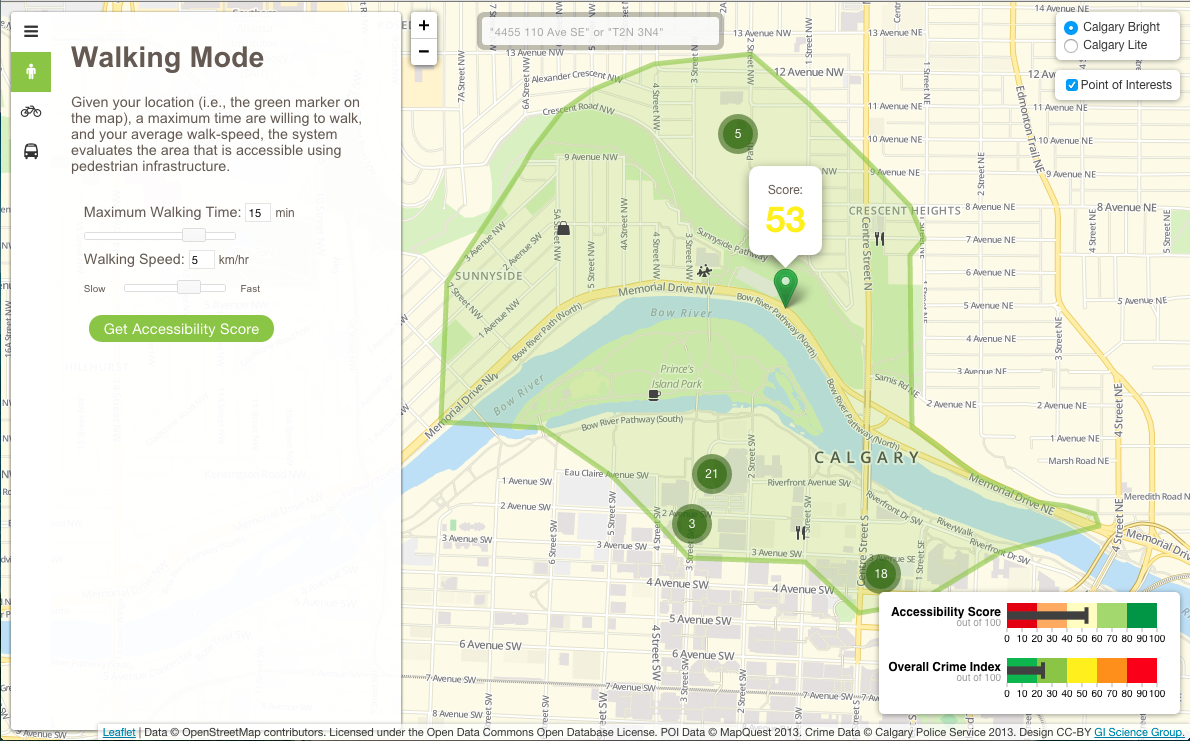
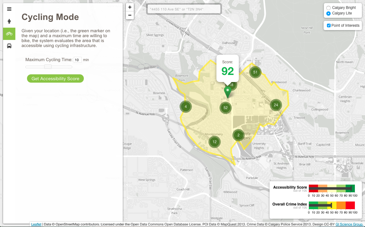

WalkYourPlace is a web-based tool for assessment of accessibility to urban facilities using quality of life indicators, such as the number of grocery stores, shopping and recreation facilities, and local crime. The system evaluates in real time an area that is accessible using pedestrian, transit, and cycling infrastructure. The WalkYourPlace system has been designed and developed using free and open source software (FOSS), open standards/specifications, and open data.
Built With
- css3
- d3.js
- geoserver
- gtfs-data-exchange
- javascript
- jquery
- leaflet.js
- openstreetmap-data
- opentripplanner
- overpass-openstreetmap
- php
- phptileserver
- postgis
- postgresql
- python
- tilemill


Log in or sign up for Devpost to join the conversation.