-
-
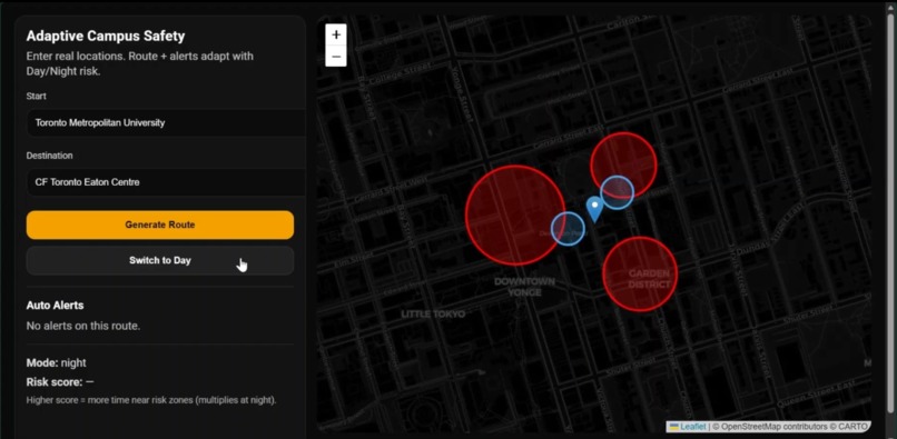
Adaptive safety-aware routing that dynamically avoids high-risk zones and adjusts based on time of day.
Inspiration
Walk Safe was inspired by a school project focused on improving safety for students at TMU at night. Urban campuses are fully integrated into surrounding city environments, exposing students to poorly lit streets, construction zones, and higher-risk areas. I realized that traditional navigation apps optimize for speed—not safety—and saw an opportunity to rethink how routing systems could prioritize student well-being instead.
What it does
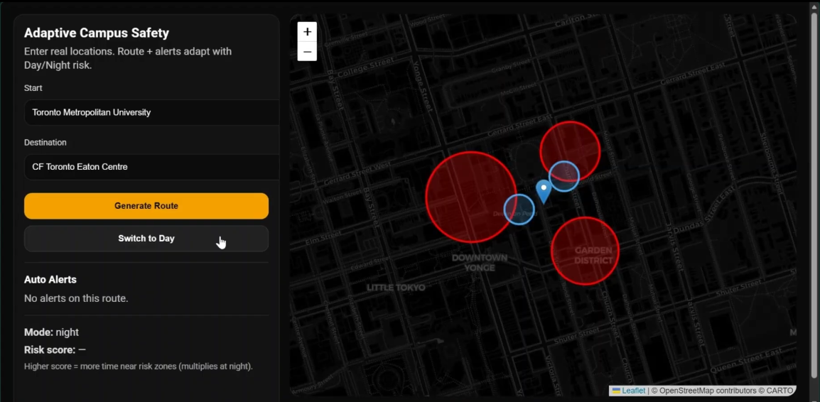
Walk Safe is an adaptive campus safety app that generates safer walking routes by detecting high-risk zones and automatically rerouting around them. It adjusts risk calculations based on time of day, increasing safety weighting at night, and provides real-time alerts along with a dynamic risk score to help students make informed travel decisions.
How I built it
I built Walk Safe using React and Vite for the frontend, Leaflet for interactive mapping, and OpenStreetMap with OSRM for real-world walking routes. The app converts user-entered locations into coordinates, analyzes whether routes intersect predefined hazard zones, and recalculates safer paths when necessary. A dynamic risk-scoring system adapts based on environmental context, such as nighttime conditions.
Challenges I ran into
One of my biggest challenges was preventing routes from clipping hazard zones while still maintaining realistic and practical walking paths. Forcing detours sometimes caused unnatural loops or excessive rerouting. Balancing strict safety enforcement with realistic navigation required iterative testing and refinement of waypoint logic and buffer zones.
Accomplishments
I successfully built a working adaptive routing system that prioritizes safety over speed. The app dynamically recalculates routes, visually highlights risk zones, and adjusts safety scoring based on time of day, all within a clean, interactive interface. Most importantly, I transformed a conceptual safety idea into a functional prototype.
What I learned
I learned how real-world routing engines prioritize efficiency, how geospatial calculations impact navigation behavior, and how small algorithmic adjustments can dramatically change route outcomes. I also gained experience integrating multiple APIs while maintaining performance and usability.
What's next for Walk-Safe: Adaptive campus safety app
Next, I plan to integrate live crime data, construction reports, and real-time lighting conditions to enhance hazard detection accuracy. I also envision expanding the platform beyond TMU to support other urban campuses and potentially incorporating user-reported incidents to make Walk Safe a collaborative safety tool.
Built With
- along-with-html5
- api
- css3
- geocoding
- html5
- javascript
- leaflet-and-react-leaflet-for-mapping
- leaflet.js
- nominatim
- openstreetmap
- openstreetmap-data-with-the-osrm-routing-api-and-nominatim-geocoding-api
- osrm
- react
- react-with-vite
- vite


Log in or sign up for Devpost to join the conversation.