-
-
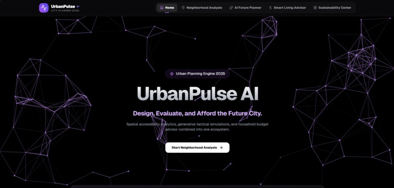
UrbanPlus.AI
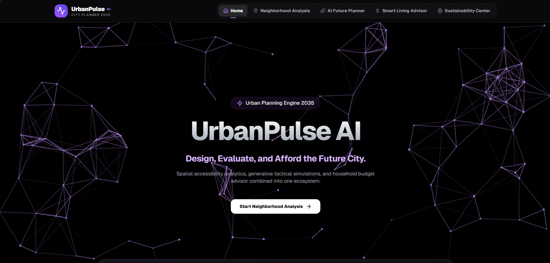
🌆 UrbanPulse AI
AI-powered urban intelligence for accessible, sustainable, and future-ready cities.
Inspiration
Cities are growing rapidly, but accessibility and quality of life are not always improving at the same pace. Many people choose neighborhoods without knowing whether essential services such as hospitals, schools, grocery stores, parks, or public transportation are actually within walking distance. This often results in longer commutes, traffic congestion, higher carbon emissions, and unequal access to urban resources.
We were inspired by the 15-Minute City concept, which envisions neighborhoods where residents can meet most of their daily needs within a 15-minute walk or bike ride. Rather than creating another map application, we wanted to build an intelligent platform that evaluates neighborhoods, identifies accessibility gaps, and provides AI-powered recommendations for creating more sustainable and people-centered cities.
🎯 What it does
UrbanPulse AI is an intelligent urban planning platform that helps users evaluate neighborhoods based on accessibility, affordability, and future development opportunities.
The platform allows users to:
- 📍 Analyze any neighborhood using real-world location data.
- 🚶 Calculate a comprehensive 15-Minute Accessibility Score.
- 🗺️ Explore nearby healthcare facilities, schools, grocery stores, parks, and public transportation on an interactive map.
- 📊 View category-wise accessibility insights through visual dashboards.
- 🤖 Receive AI-generated recommendations for improving underserved neighborhoods.
- 🌱 Support smarter and more sustainable urban planning decisions.
UrbanPulse AI transforms complex urban data into meaningful, actionable insights for citizens, researchers, planners, and policymakers.
🛠️ How we built it
The platform combines modern web technologies, mapping services, and artificial intelligence.
Frontend
- Next.js
- TypeScript
- Tailwind CSS
- Framer Motion
- shadcn/ui
Mapping & Geospatial Services
- OpenStreetMap
- MapLibre GL
- Nominatim Geocoding
- Overpass API
Artificial Intelligence
- Google Gemini API
Backend
- FastAPI
Database
- Supabase
Data Visualization
- Recharts
The application retrieves geographic data, analyzes nearby amenities, calculates accessibility metrics, visualizes the results on interactive maps, and uses AI to generate practical recommendations for urban improvement.
🚧 Challenges we faced
One of the biggest challenges was integrating multiple geospatial data sources into a unified workflow. Converting raw map data into meaningful accessibility insights required careful processing and optimization.
Another challenge was designing AI-generated recommendations that are practical and relevant rather than generic. We focused on providing recommendations that directly address accessibility gaps within each neighborhood.
Balancing functionality with a clean and intuitive user experience was also an important part of the development process.
🏆 Accomplishments that we're proud of
- Successfully built an end-to-end urban accessibility analysis platform.
- Integrated real-world mapping and geographic data.
- Developed an AI-powered recommendation system for neighborhood improvements.
- Created an interactive dashboard with accessibility visualization.
- Designed a modern, responsive, and user-friendly interface.
- Built a scalable foundation that can support future smart-city features.
📚 What we learned
This project provided valuable experience in:
- Geographic Information Systems (GIS)
- Urban accessibility analysis
- AI-assisted decision support
- Mapping technologies
- API integration
- Interactive data visualization
- Building scalable full-stack web applications
It also highlighted how artificial intelligence can complement urban planning by transforming complex geographic data into actionable insights.
🚀 What's next for UrbanPulse AI
We plan to expand UrbanPulse AI into a comprehensive smart-city planning platform by adding:
- 🏙️ AI Future Planner with 2035 neighborhood simulations
- 💰 Smart Living Advisor for affordability and cost-of-living analysis
- 🌿 Urban Sustainability Index
- 🚴 Carbon footprint estimation
- 📈 Neighborhood comparison tools
- 📄 Professional urban planning report generation
- 🤝 Community feedback and participatory planning features
- 📡 Real-time city infrastructure and environmental monitoring
Our long-term vision is to create an intelligent platform that helps cities become more accessible, affordable, sustainable, and future-ready through data-driven planning and AI-powered insights.
Built With
- css
- fastapi
- framer
- gemini
- geocoding
- geospatial
- git
- github
- gl
- glassmorphism
- javascript
- maplibre
- mapping
- motion
- next.js
- nominatim
- openstreetmap
- overpass
- postgresql
- python
- react
- rest
- shadcn/ui
- supabase
- tailwind
- typescript
- vercel


Log in or sign up for Devpost to join the conversation.